159 Cancer Mew Lake Ariel, PA 18436
Estimated Value: $293,000 - $321,000
3
Beds
1
Bath
1,568
Sq Ft
$195/Sq Ft
Est. Value
About This Home
This home is located at 159 Cancer Mew, Lake Ariel, PA 18436 and is currently estimated at $306,524, approximately $195 per square foot. 159 Cancer Mew is a home located in Wayne County with nearby schools including Western Wayne High School.
Ownership History
Date
Name
Owned For
Owner Type
Purchase Details
Closed on
Nov 22, 2019
Sold by
Bonczek Michael D
Bought by
Bonczek Michael D
Current Estimated Value
Purchase Details
Closed on
Sep 12, 2006
Sold by
Peselli Angelina B
Bought by
Bonczek Michael D
Home Financials for this Owner
Home Financials are based on the most recent Mortgage that was taken out on this home.
Original Mortgage
$116,000
Outstanding Balance
$69,358
Interest Rate
6.59%
Mortgage Type
New Conventional
Estimated Equity
$237,166
Create a Home Valuation Report for This Property
The Home Valuation Report is an in-depth analysis detailing your home's value as well as a comparison with similar homes in the area
Home Values in the Area
Average Home Value in this Area
Purchase History
| Date | Buyer | Sale Price | Title Company |
|---|---|---|---|
| Bonczek Michael D | -- | None Available | |
| Bonczek Michael D | $145,000 | None Available |
Source: Public Records
Mortgage History
| Date | Status | Borrower | Loan Amount |
|---|---|---|---|
| Open | Bonczek Michael D | $116,000 |
Source: Public Records
Tax History Compared to Growth
Tax History
| Year | Tax Paid | Tax Assessment Tax Assessment Total Assessment is a certain percentage of the fair market value that is determined by local assessors to be the total taxable value of land and additions on the property. | Land | Improvement |
|---|---|---|---|---|
| 2025 | $2,675 | $166,200 | $35,900 | $130,300 |
| 2024 | $2,542 | $166,200 | $35,900 | $130,300 |
| 2023 | $3,605 | $166,200 | $35,900 | $130,300 |
| 2022 | $1,893 | $80,800 | $19,400 | $61,400 |
| 2021 | $1,846 | $80,800 | $19,400 | $61,400 |
| 2020 | $1,825 | $80,800 | $19,400 | $61,400 |
| 2019 | $1,649 | $77,300 | $15,900 | $61,400 |
| 2018 | $1,640 | $77,300 | $15,900 | $61,400 |
| 2017 | $327 | $77,300 | $15,900 | $61,400 |
| 2016 | $1,588 | $77,300 | $15,900 | $61,400 |
| 2014 | -- | $77,300 | $15,900 | $61,400 |
Source: Public Records
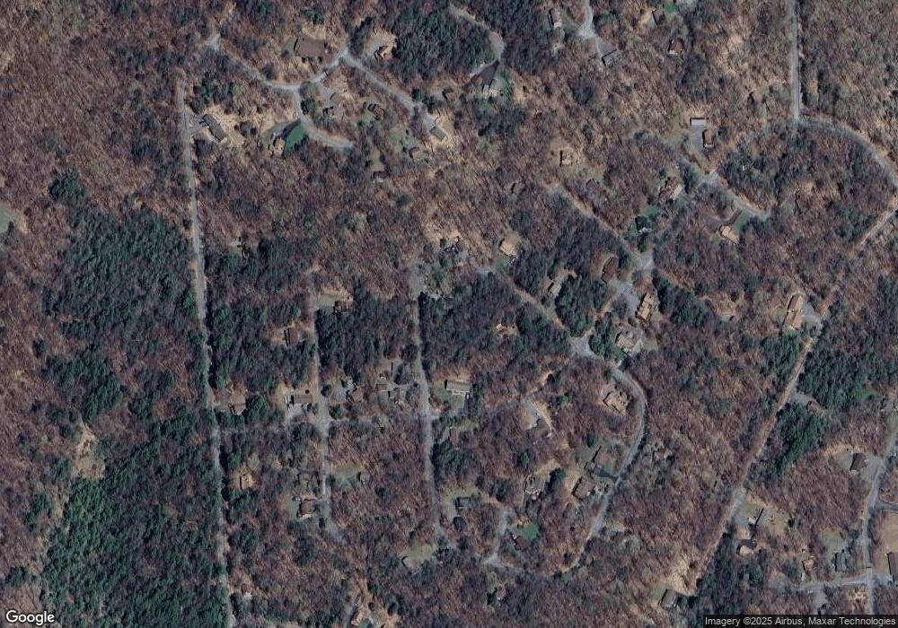
Map
Nearby Homes
- 0 Gemini Cir
- LOT 144 Gemini Cir
- Lot 260 Reid Rd
- LOT 135 Reid Rd
- 12 Andromeda Cir
- 61 Cygnus (Draco Dr) Rd
- Lot 14 Orion Way
- Lot 322 Orion Way
- Lot 16 Orion Way
- LOT 418 Orion Way
- 5 Stony Ln
- 9 Cub Rd
- 447 Chipmunk Ln
- 113 Fawnwood Dr
- Lot #335 Ruffed Grouse Path
- 4 Aquarius Ln
- 21 Bruin Rd
- Lot 211-212 Aquarius Ln
- 376-2 Osprey Cir
- 0 Wallenpaupack Dr Unit PWBPW252769