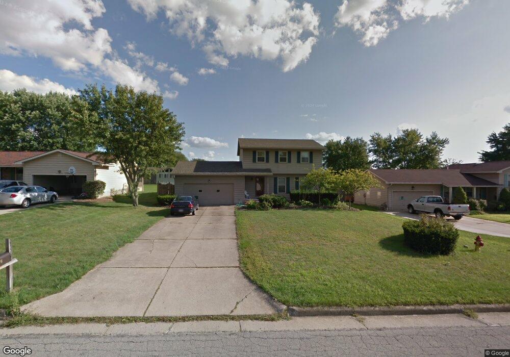
159 Carter Cir Youngstown, OH 44512
Estimated Value: $200,000 - $234,000
3
Beds
2
Baths
1,744
Sq Ft
$126/Sq Ft
Est. Value
About This Home
This home is located at 159 Carter Cir, Youngstown, OH 44512 and is currently estimated at $219,720, approximately $125 per square foot. 159 Carter Cir is a home located in Mahoning County with nearby schools including Stadium Drive Elementary School, Boardman Center Middle School, and Boardman High School.
Ownership History
Date
Name
Owned For
Owner Type
Purchase Details
Closed on
May 19, 2005
Sold by
Barr Richard E
Bought by
Evans David B and Evans Jacqueline A
Current Estimated Value
Home Financials for this Owner
Home Financials are based on the most recent Mortgage that was taken out on this home.
Original Mortgage
$73,500
Outstanding Balance
$37,843
Interest Rate
6.05%
Mortgage Type
Fannie Mae Freddie Mac
Estimated Equity
$181,877
Purchase Details
Closed on
May 4, 2005
Sold by
Estate Of Gail A Barr
Bought by
Barr Richard E
Home Financials for this Owner
Home Financials are based on the most recent Mortgage that was taken out on this home.
Original Mortgage
$73,500
Outstanding Balance
$37,843
Interest Rate
6.05%
Mortgage Type
Fannie Mae Freddie Mac
Estimated Equity
$181,877
Purchase Details
Closed on
Mar 21, 1979
Bought by
Barr Richard E and Barr Gail A
Create a Home Valuation Report for This Property
The Home Valuation Report is an in-depth analysis detailing your home's value as well as a comparison with similar homes in the area
Home Values in the Area
Average Home Value in this Area
Purchase History
| Date | Buyer | Sale Price | Title Company |
|---|---|---|---|
| Evans David B | $105,000 | -- | |
| Barr Richard E | -- | -- | |
| Barr Richard E | -- | -- |
Source: Public Records
Mortgage History
| Date | Status | Borrower | Loan Amount |
|---|---|---|---|
| Open | Evans David B | $73,500 |
Source: Public Records
Tax History
| Year | Tax Paid | Tax Assessment Tax Assessment Total Assessment is a certain percentage of the fair market value that is determined by local assessors to be the total taxable value of land and additions on the property. | Land | Improvement |
|---|---|---|---|---|
| 2025 | $3,097 | $61,840 | $9,790 | $52,050 |
| 2024 | $3,693 | $61,840 | $9,790 | $52,050 |
| 2023 | $3,742 | $61,840 | $9,790 | $52,050 |
| 2022 | $3,302 | $50,060 | $9,790 | $40,270 |
| 2021 | $3,304 | $50,060 | $9,790 | $40,270 |
| 2020 | $3,321 | $50,060 | $9,790 | $40,270 |
| 2019 | $2,995 | $39,730 | $7,770 | $31,960 |
| 2018 | $2,594 | $39,730 | $7,770 | $31,960 |
| 2017 | $2,473 | $39,730 | $7,770 | $31,960 |
| 2016 | $2,393 | $36,840 | $7,770 | $29,070 |
| 2015 | $2,346 | $36,840 | $7,770 | $29,070 |
| 2014 | $2,353 | $36,840 | $7,770 | $29,070 |
| 2013 | $2,323 | $36,840 | $7,770 | $29,070 |
Source: Public Records
Map
Nearby Homes
- 178 Carter Cir
- 101 Creston Dr
- 0 W Western Reserve Rd Unit 5188999
- 1242 W Western Reserve Rd
- 454 Garver Dr
- 62 E Western Reserve Rd Unit 3
- 139 Roche Way
- 156 Roche Way
- 9264 Sharrott Rd Unit 1001
- 9264 Sharrott Rd Unit 801
- 9264 Sharrott Rd Unit 1002
- 9140 Woodworth Rd
- 8218 Maramont Dr Unit B
- 123 Mayflower Dr
- 1594 W Western Reserve Rd
- Lot 36 Berklee Dr
- 524 Berklee Dr
- 8230 Stadler Ave
- 331 Warren Ave
- 363 Maple Dr
- 163 Carter Cir
- 155 Carter Cir
- 160 Runnemede Dr
- 167 Carter Cir
- 151 Carter Cir
- 156 Runnemede Dr
- 164 Runnemede Dr
- 162 Carter Cir
- 154 Carter Cir
- 168 Runnemede Dr
- 152 Runnemede Dr
- 152 Runnemede Dr
- 171 Carter Cir
- 147 Carter Cir
- 166 Carter Cir
- 150 Carter Cir
- 148 Runnemede Dr
- 172 Runnemede Dr
- 170 Carter Cir
- 175 Carter Cir
Your Personal Tour Guide
Ask me questions while you tour the home.