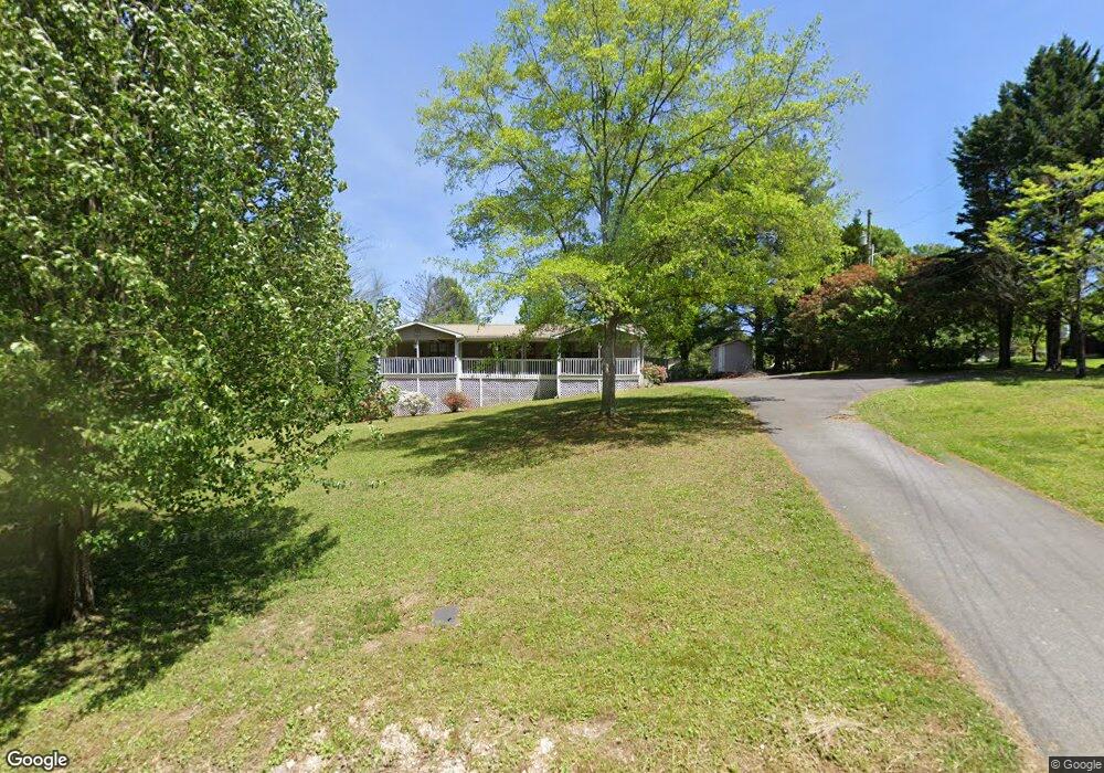
159 Corinth Rd La Fayette, GA 30728
Estimated Value: $229,557 - $314,000
3
Beds
2
Baths
1,820
Sq Ft
$145/Sq Ft
Est. Value
About This Home
This home is located at 159 Corinth Rd, La Fayette, GA 30728 and is currently estimated at $263,389, approximately $144 per square foot. 159 Corinth Rd is a home located in Walker County with nearby schools including Naomi Elementary School, Lafayette Middle School, and Lafayette High School.
Ownership History
Date
Name
Owned For
Owner Type
Purchase Details
Closed on
Mar 10, 2004
Sold by
Jp Morgan Chase Bank As
Bought by
Wysong Samuel and Wysong Sally D
Current Estimated Value
Purchase Details
Closed on
Nov 4, 2003
Sold by
Payne Kenneth W
Bought by
Jp Morgan Chase Bank As
Purchase Details
Closed on
Oct 17, 1986
Sold by
Sosebee Michael L
Bought by
Payne Kenneth W
Purchase Details
Closed on
Apr 1, 1982
Bought by
Sosebee Michael L
Create a Home Valuation Report for This Property
The Home Valuation Report is an in-depth analysis detailing your home's value as well as a comparison with similar homes in the area
Home Values in the Area
Average Home Value in this Area
Purchase History
| Date | Buyer | Sale Price | Title Company |
|---|---|---|---|
| Wysong Samuel | $84,000 | -- | |
| Jp Morgan Chase Bank As | -- | -- | |
| Payne Kenneth W | $6,400 | -- | |
| Sosebee Michael L | $27,000 | -- |
Source: Public Records
Tax History Compared to Growth
Tax History
| Year | Tax Paid | Tax Assessment Tax Assessment Total Assessment is a certain percentage of the fair market value that is determined by local assessors to be the total taxable value of land and additions on the property. | Land | Improvement |
|---|---|---|---|---|
| 2024 | $1,900 | $81,223 | $9,760 | $71,463 |
| 2023 | $1,816 | $75,574 | $7,746 | $67,828 |
| 2022 | $1,635 | $62,652 | $3,288 | $59,364 |
| 2021 | $1,498 | $51,292 | $3,288 | $48,004 |
| 2020 | $1,311 | $42,394 | $3,288 | $39,106 |
| 2019 | $1,332 | $42,394 | $3,288 | $39,106 |
| 2018 | $1,122 | $42,394 | $3,288 | $39,106 |
| 2017 | $1,448 | $42,394 | $3,288 | $39,106 |
| 2016 | $1,167 | $42,394 | $3,288 | $39,106 |
| 2015 | $1,217 | $41,718 | $4,832 | $36,886 |
| 2014 | $1,118 | $41,718 | $4,832 | $36,886 |
| 2013 | -- | $41,717 | $4,832 | $36,885 |
Source: Public Records
Map
Nearby Homes
- 2 Skyline Heights
- 140 Bryant Ave
- 154 Skyline Heights
- 78 Lake Terrace Dr
- 35 Sunset Dr
- 27 Foster
- 0 Crest Dr Unit 10628988
- 0 Crest Dr Unit 1522720
- 114 Clear Lake Dr
- 307 S Duke St
- 0 Farris St Unit 1512317
- 0 Farris St
- E Armuchee Rd
- 0 Highway 27 S Unit 10644372
- 0 Cherokee Knoll Unit 1511608
- 0 Highway 27 S Unit 1524045
- 21058 Georgia 193
- 7552 Us Highway 27
- 304 S Cherokee St
- 1299 Trion Hwy
- 185 Corinth Rd
- 171 Corinth Rd
- 113 Corinth Rd
- 251 Corinth Rd
- 124 Corinth Rd
- 221 Corinth Rd
- 146 Corinth Rd
- 1040 E Villanow St
- 93 Corinth Rd
- 164 Corinth Rd
- 1112 Georgia 136
- 1054 E Villanow St
- 1110 E Highway 136
- 1112 E Highway 136
- 1156 E Highway 136
- 230 Corinth Rd
- 58 Corinth Rd
- 262 Corinth Rd
- 1014 E Villanow St
- 281 Corinth Rd