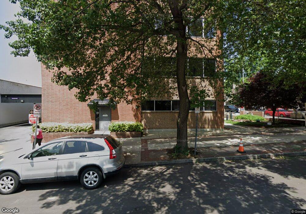
159 E High St Pottstown, PA 19464
Downtown Pottstown Neighborhood
Studio
--
Bath
45,382
Sq Ft
0.38
Acres
About This Home
This home is located at 159 E High St, Pottstown, PA 19464. 159 E High St is a home located in Montgomery County with nearby schools including Pottstown Middle School, Pottstown Senior High School, and West-Mont Christian Academy.
Ownership History
Date
Name
Owned For
Owner Type
Purchase Details
Closed on
Nov 8, 1999
Sold by
Patriot Bank
Bought by
Century Land Development Co
Create a Home Valuation Report for This Property
The Home Valuation Report is an in-depth analysis detailing your home's value as well as a comparison with similar homes in the area
Home Values in the Area
Average Home Value in this Area
Purchase History
| Date | Buyer | Sale Price | Title Company |
|---|---|---|---|
| Century Land Development Co | $2,411,000 | -- |
Source: Public Records
Tax History
| Year | Tax Paid | Tax Assessment Tax Assessment Total Assessment is a certain percentage of the fair market value that is determined by local assessors to be the total taxable value of land and additions on the property. | Land | Improvement |
|---|---|---|---|---|
| 2025 | $88,130 | $1,435,970 | $134,490 | $1,301,480 |
| 2024 | $88,130 | $1,435,970 | $134,490 | $1,301,480 |
| 2023 | $86,932 | $1,435,970 | $134,490 | $1,301,480 |
| 2022 | $86,481 | $1,435,970 | $134,490 | $1,301,480 |
| 2021 | $85,486 | $1,435,970 | $134,490 | $1,301,480 |
| 2020 | $83,991 | $1,435,970 | $134,490 | $1,301,480 |
| 2019 | $82,066 | $1,435,970 | $134,490 | $1,301,480 |
Source: Public Records
Map
Nearby Homes
- 159 E High St Unit 400
- 149 E High St
- 17 N Hanover St Unit 2NDFR
- 17 N Hanover St Unit 2A
- 17 N Hanover St Unit 3A
- 17 N Hanover St Unit 3B
- 201 E High St Unit 7
- 201 E High St Unit 5
- 201 E High St Unit 3
- 201 E High St
- 21 N Hanover St Unit SUITE B, 2ND FLR
- 21 N Hanover St Unit STOREFRONT
- 21 N Hanover St
- 6 N Hanover St
- 6 N Hanover St Unit 3
- 27 N Hanover St
- 27 N Hanover St Unit 2
- 152 E High St
- 140 King St
- 207 E High St
Your Personal Tour Guide
Ask me questions while you tour the home.