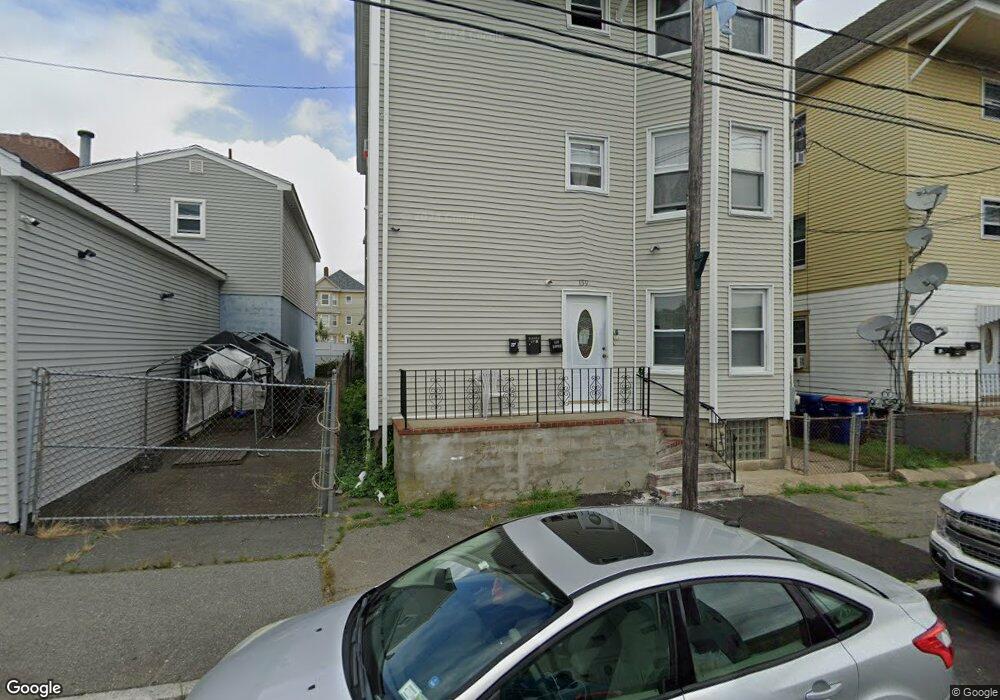
159 Earle St New Bedford, MA 02746
Riverside Park NeighborhoodEstimated Value: $586,000 - $645,000
9
Beds
3
Baths
3,645
Sq Ft
$168/Sq Ft
Est. Value
About This Home
This home is located at 159 Earle St, New Bedford, MA 02746 and is currently estimated at $611,000, approximately $167 per square foot. 159 Earle St is a home located in Bristol County with nearby schools including Abraham Lincoln Elementary School, Normandin Middle School, and New Bedford High School.
Ownership History
Date
Name
Owned For
Owner Type
Purchase Details
Closed on
Jan 2, 2013
Sold by
Demedeiros Jose A and Demedeiros Maria C
Bought by
Demedeiros Jose and Demedeiros Maria C
Current Estimated Value
Create a Home Valuation Report for This Property
The Home Valuation Report is an in-depth analysis detailing your home's value as well as a comparison with similar homes in the area
Home Values in the Area
Average Home Value in this Area
Purchase History
| Date | Buyer | Sale Price | Title Company |
|---|---|---|---|
| Demedeiros Jose | -- | -- | |
| Demedeiros Jose | -- | -- |
Source: Public Records
Mortgage History
| Date | Status | Borrower | Loan Amount |
|---|---|---|---|
| Previous Owner | Demedeiros Jose | $170,000 |
Source: Public Records
Tax History Compared to Growth
Tax History
| Year | Tax Paid | Tax Assessment Tax Assessment Total Assessment is a certain percentage of the fair market value that is determined by local assessors to be the total taxable value of land and additions on the property. | Land | Improvement |
|---|---|---|---|---|
| 2025 | $5,827 | $515,200 | $95,400 | $419,800 |
| 2024 | $5,054 | $421,200 | $71,600 | $349,600 |
| 2023 | $4,476 | $313,200 | $61,100 | $252,100 |
| 2022 | $3,952 | $260,800 | $55,700 | $205,100 |
| 2021 | $3,952 | $253,500 | $55,700 | $197,800 |
| 2020 | $3,924 | $242,800 | $55,700 | $187,100 |
| 2019 | $3,357 | $203,800 | $55,700 | $148,100 |
| 2018 | $3,181 | $191,300 | $55,700 | $135,600 |
| 2017 | $2,931 | $175,600 | $55,700 | $119,900 |
| 2016 | $2,805 | $170,100 | $55,700 | $114,400 |
| 2015 | $2,636 | $167,600 | $57,300 | $110,300 |
| 2014 | $2,588 | $170,700 | $60,400 | $110,300 |
Source: Public Records
Map
Nearby Homes
- 128 Nash Rd
- 10 Erics Way
- 125 +135 Tinkham St
- 203-205 Tinkham St
- 234 Phillips Ave
- 82 Query St
- 42 Query St
- 301 Davis St
- 228 Eugenia St
- 135-137 Query St
- 161 Deane St
- 330 N Front St
- 1840 1846 Acushnet Ave
- 193 Ashley Blvd
- 178 Ashley Blvd
- 18 Edison St
- 42 Princeton St
- 239 Sawyer St
- 162 Princeton St
- 284 Sawyer St
- 155 Earle St
- 76 Hathaway St
- 74 Hathaway St
- 478 N Front St
- 72 Hathaway St
- 466 N Front St
- 160 Earle St
- 70 Hathaway St
- 141 Earle St
- 68 Hathaway St Unit 70
- 475 N Front St
- 473 N Front St Unit 2
- 471 N Front St Unit 3
- 473 N Front St
- 471 N Front St
- 471 N Front St Unit 2
- 77 Hathaway St
- 488 N Front St
- 477 N Front St
- 75 Hathaway St