159 Forest Park Rd Woodland, WA 98674
Estimated Value: $559,000 - $683,000
3
Beds
2
Baths
1,910
Sq Ft
$334/Sq Ft
Est. Value
About This Home
This home is located at 159 Forest Park Rd, Woodland, WA 98674 and is currently estimated at $637,555, approximately $333 per square foot. 159 Forest Park Rd is a home located in Cowlitz County with nearby schools including Woodland High School.
Ownership History
Date
Name
Owned For
Owner Type
Purchase Details
Closed on
Mar 2, 2022
Sold by
West Rebeka J
Bought by
West Christaphor G
Current Estimated Value
Purchase Details
Closed on
Feb 2, 2015
Sold by
Nylund Homes Inc
Bought by
West Michael G
Home Financials for this Owner
Home Financials are based on the most recent Mortgage that was taken out on this home.
Original Mortgage
$260,000
Interest Rate
3.76%
Mortgage Type
VA
Purchase Details
Closed on
Apr 22, 2014
Sold by
Brady Kevin B and Brady Jackie Jodon
Bought by
Nylund Homes Inc
Purchase Details
Closed on
Sep 29, 2006
Sold by
Dissen Charles B and Dissen Diana L
Bought by
Brady Kevin and Brady Jacki
Home Financials for this Owner
Home Financials are based on the most recent Mortgage that was taken out on this home.
Original Mortgage
$66,780
Interest Rate
6.14%
Mortgage Type
Stand Alone Second
Create a Home Valuation Report for This Property
The Home Valuation Report is an in-depth analysis detailing your home's value as well as a comparison with similar homes in the area
Home Values in the Area
Average Home Value in this Area
Purchase History
| Date | Buyer | Sale Price | Title Company |
|---|---|---|---|
| West Christaphor G | -- | None Listed On Document | |
| West Michael G | -- | None Listed On Document | |
| West Michael G | $259,609 | Stewart Title | |
| Nylund Homes Inc | $181,801 | Columbia Title Agency Llc | |
| Brady Kevin | $333,900 | Stewart Title |
Source: Public Records
Mortgage History
| Date | Status | Borrower | Loan Amount |
|---|---|---|---|
| Previous Owner | West Michael G | $260,000 | |
| Previous Owner | Brady Kevin | $66,780 | |
| Previous Owner | Brady Kevin | $267,120 |
Source: Public Records
Tax History Compared to Growth
Tax History
| Year | Tax Paid | Tax Assessment Tax Assessment Total Assessment is a certain percentage of the fair market value that is determined by local assessors to be the total taxable value of land and additions on the property. | Land | Improvement |
|---|---|---|---|---|
| 2024 | $5,160 | $558,510 | $145,230 | $413,280 |
| 2023 | $2,294 | $445,230 | $130,830 | $314,400 |
| 2022 | $621 | $262,008 | $55,910 | $206,098 |
| 2021 | $642 | $97,776 | $0 | $97,776 |
| 2020 | $664 | $391,570 | $96,370 | $295,200 |
| 2019 | $707 | $341,627 | $93,563 | $248,064 |
| 2018 | $3,648 | $323,250 | $93,560 | $229,690 |
| 2017 | $2,952 | $291,870 | $89,110 | $202,760 |
| 2016 | $2,787 | $257,880 | $79,560 | $178,320 |
| 2015 | $2,689 | $244,440 | $78,000 | $166,440 |
| 2013 | -- | $194,750 | $66,940 | $127,810 |
Source: Public Records
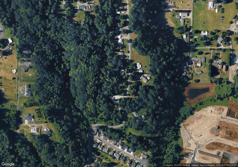
Map
Nearby Homes
- 2271 Ash St Unit Lot 92
- 2211 Mccracken Rd Unit Lot 10
- 2233 Ash St Unit Lot 84
- 2231 Mccracken Rd Unit LOT 8
- 2243 Mccracken Rd Unit Lot 7
- 2229 Ash St Unit Lot 83
- 2245 Ash St Unit Lot 86
- 2257 Ash St Unit Lot 88
- 2216 Statesman Dr Unit Lot 46
- 2210 Statesman Dr Unit 44
- 2220 Statesman Dr Unit Lot 47
- 2224 Statesman Dr Unit Lot 48
- 2251 Mccracken Rd Unit Lot 6
- 2249 Ash St Unit Lot 87
- 605 Gun Club Rd
- 2248 Ash St Unit Lot 19
- 2261 Ash St Unit 90
- The 2676 Plan at Alder and Ash
- The 1890 Plan at Alder and Ash
- The 2336 Plan at Alder and Ash
- 175 Forest Park Rd
- 145 Forest Park Rd
- 0 Forest Park Rd
- 191 Forest Park Rd
- 130 Forest Park Rd
- 212 Forest Park Rd
- 2027 Ambassador Ave
- 2017 Ambassador Ave
- 2037 Ambassador Ave
- 683 Gun Club Rd
- 210 Forest Park Rd Unit Lot 3
- 210 Forest Park Rd
- 2047 Ambassador Ave
- 221 Forest Park Rd
- 2057 Ambassador Ave
- 2087 Ambassador Ave
- 2067 Ambassador Ave
- 2012 Ambassador Ave
- 2022 Ambassador Ave
- 2440 Lewis River Rd