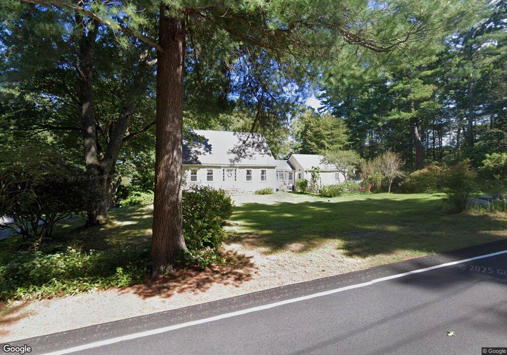
159 Grove St Scituate, MA 02066
Estimated Value: $655,000 - $724,000
3
Beds
2
Baths
1,547
Sq Ft
$447/Sq Ft
Est. Value
About This Home
This home is located at 159 Grove St, Scituate, MA 02066 and is currently estimated at $691,270, approximately $446 per square foot. 159 Grove St is a home located in Plymouth County with nearby schools including Cushing Elementary School, Lester J. Gates Middle School, and Scituate High School.
Ownership History
Date
Name
Owned For
Owner Type
Purchase Details
Closed on
Oct 4, 2025
Sold by
Miller David A
Bought by
Miller Abraham
Current Estimated Value
Purchase Details
Closed on
Jun 13, 1988
Sold by
Maple Grove Rt
Bought by
Miller David A
Home Financials for this Owner
Home Financials are based on the most recent Mortgage that was taken out on this home.
Original Mortgage
$111,000
Interest Rate
10.21%
Mortgage Type
Purchase Money Mortgage
Purchase Details
Closed on
Jun 6, 1988
Sold by
Maple Grove Rt
Bought by
Miller David A
Home Financials for this Owner
Home Financials are based on the most recent Mortgage that was taken out on this home.
Original Mortgage
$111,000
Interest Rate
10.21%
Mortgage Type
Purchase Money Mortgage
Create a Home Valuation Report for This Property
The Home Valuation Report is an in-depth analysis detailing your home's value as well as a comparison with similar homes in the area
Home Values in the Area
Average Home Value in this Area
Purchase History
| Date | Buyer | Sale Price | Title Company |
|---|---|---|---|
| Miller Abraham | -- | -- | |
| Miller David A | $139,000 | -- | |
| Miller David A | $139,000 | -- |
Source: Public Records
Mortgage History
| Date | Status | Borrower | Loan Amount |
|---|---|---|---|
| Previous Owner | Miller David A | $80,000 | |
| Previous Owner | Miller David A | $40,000 | |
| Previous Owner | Miller David A | $59,000 | |
| Previous Owner | Miller David A | $111,000 |
Source: Public Records
Tax History Compared to Growth
Tax History
| Year | Tax Paid | Tax Assessment Tax Assessment Total Assessment is a certain percentage of the fair market value that is determined by local assessors to be the total taxable value of land and additions on the property. | Land | Improvement |
|---|---|---|---|---|
| 2025 | $5,673 | $567,900 | $378,300 | $189,600 |
| 2024 | $5,581 | $538,700 | $343,900 | $194,800 |
| 2023 | $5,462 | $493,700 | $312,600 | $181,100 |
| 2022 | $5,462 | $432,800 | $274,300 | $158,500 |
| 2021 | $5,337 | $400,400 | $261,200 | $139,200 |
| 2020 | $5,253 | $389,100 | $251,100 | $138,000 |
| 2019 | $5,240 | $381,400 | $246,200 | $135,200 |
| 2018 | $5,530 | $396,400 | $262,900 | $133,500 |
| 2017 | $5,249 | $372,500 | $239,000 | $133,500 |
| 2016 | $5,099 | $360,600 | $227,100 | $133,500 |
| 2015 | $4,567 | $348,600 | $215,100 | $133,500 |
Source: Public Records
Map
Nearby Homes
- 575 First Parish Rd
- 131 Maple St
- 116 Old Forge Rd
- 2 Webster Farm Way
- 16 Cranberry Ln
- 32 Fairview Ave
- 9 Kyle Path
- 293 Cross St
- 25 Gendarme Place
- 25 Webster Farm Way
- 23 Webster Farm Way
- 13 Hornbeam Rd
- 3 Webster Farm Way
- 5 Webster Farm Way
- 14 Aberdeen Dr
- 252 Winter St
- 334 Summer St
- 115 Elm St
- 0 Mt Blue Unit 73374335
- 11 Forest Ln