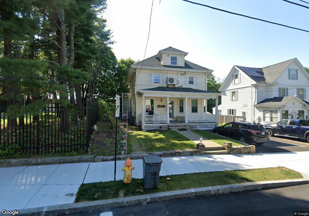
159 Independence Ave Unit 2 Quincy, MA 02169
South Quincy NeighborhoodEstimated Value: $764,583 - $935,000
3
Beds
1
Bath
1,200
Sq Ft
$689/Sq Ft
Est. Value
About This Home
This home is located at 159 Independence Ave Unit 2, Quincy, MA 02169 and is currently estimated at $827,396, approximately $689 per square foot. 159 Independence Ave Unit 2 is a home located in Norfolk County with nearby schools including Lincoln-Hancock Community School, South West Middle School, and Quincy High School.
Ownership History
Date
Name
Owned For
Owner Type
Purchase Details
Closed on
Jul 20, 2023
Sold by
Ramaj Besmir
Bought by
Ramaj Llc
Current Estimated Value
Purchase Details
Closed on
Dec 13, 2006
Sold by
Ocallaghan Michael V
Bought by
Vincent Elena A and Mandrell Willie J
Home Financials for this Owner
Home Financials are based on the most recent Mortgage that was taken out on this home.
Original Mortgage
$335,750
Interest Rate
6.31%
Mortgage Type
Purchase Money Mortgage
Purchase Details
Closed on
Jan 30, 1995
Sold by
Luisi Frank P and Luisi Kathleen M
Bought by
Ocallaghan Michael
Create a Home Valuation Report for This Property
The Home Valuation Report is an in-depth analysis detailing your home's value as well as a comparison with similar homes in the area
Home Values in the Area
Average Home Value in this Area
Purchase History
| Date | Buyer | Sale Price | Title Company |
|---|---|---|---|
| Ramaj Llc | -- | None Available | |
| Vincent Elena A | $395,000 | -- | |
| Ocallaghan Michael | $153,500 | -- | |
| Ocallaghan Michael V | $153,500 | -- |
Source: Public Records
Mortgage History
| Date | Status | Borrower | Loan Amount |
|---|---|---|---|
| Previous Owner | Vincent Elena A | $335,750 | |
| Previous Owner | Ocallaghan Michael V | $25,000 | |
| Previous Owner | Ocallaghan Michael V | $184,500 | |
| Previous Owner | Ocallaghan Michael V | $180,000 |
Source: Public Records
Tax History Compared to Growth
Tax History
| Year | Tax Paid | Tax Assessment Tax Assessment Total Assessment is a certain percentage of the fair market value that is determined by local assessors to be the total taxable value of land and additions on the property. | Land | Improvement |
|---|---|---|---|---|
| 2025 | $7,765 | $673,500 | $282,600 | $390,900 |
| 2024 | $7,279 | $645,900 | $269,100 | $376,800 |
| 2023 | $6,916 | $621,400 | $244,600 | $376,800 |
| 2022 | $6,608 | $551,600 | $203,900 | $347,700 |
| 2021 | $6,132 | $505,100 | $203,900 | $301,200 |
| 2020 | $6,280 | $505,200 | $203,900 | $301,300 |
| 2019 | $5,883 | $468,800 | $192,300 | $276,500 |
| 2018 | $5,912 | $443,200 | $178,100 | $265,100 |
| 2017 | $5,523 | $389,800 | $169,600 | $220,200 |
| 2016 | $5,022 | $349,700 | $147,500 | $202,200 |
| 2015 | $5,084 | $348,200 | $147,500 | $200,700 |
| 2014 | $4,578 | $308,100 | $147,500 | $160,600 |
Source: Public Records
Map
Nearby Homes
- 195 Independence Ave Unit 137
- 218 Independence Ave Unit B
- 10 Hughes St
- 52 Norman Rd
- 72 Federal Ave
- 347 Centre St
- 21 Totman St Unit 204
- 21 Totman St Unit 202
- 21 Totman St Unit 309
- 21 Totman St Unit 306
- 21 Totman St Unit 410
- 21 Totman St Unit Model-1
- 21 Totman St Unit 2
- 161 Cedar St
- 83 Madison Ave
- 155 Kendrick Ave Unit T7
- 102 Conrad St
- 106 Home Park Rd
- 8 Jackson St Unit B2
- 94 Brook Rd Unit 3
- 159 Independence Ave
- 155 Independence Ave
- 153 Independence Ave
- 160 Independence Ave
- 158 Independence Ave
- 160 Independence Ave Unit B
- 156 Independence Ave
- 156 Independence Ave Unit A
- 175 Independence Ave
- 149 Independence Ave
- 152 Independence Ave
- 146 Independence Ave
- 166 Independence Ave
- 166 Independence Ave Unit 1
- 143 Independence Ave
- 109 Verchild St
- 116 Verchild St
- 177 Independence Ave
- 107 Verchild St
- 139 Independence Ave