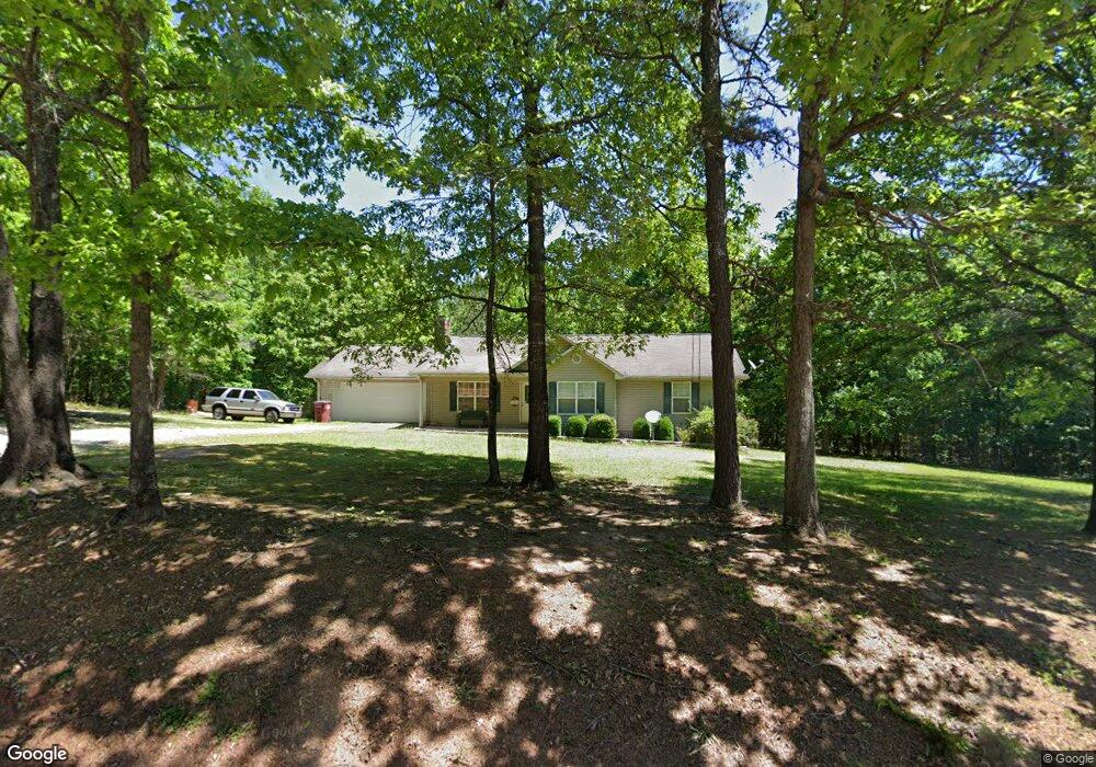
159 John Morris Rd Maysville, GA 30558
Estimated Value: $341,000 - $428,000
3
Beds
2
Baths
1,460
Sq Ft
$251/Sq Ft
Est. Value
About This Home
This home is located at 159 John Morris Rd, Maysville, GA 30558 and is currently estimated at $366,816, approximately $251 per square foot. 159 John Morris Rd is a home located in Banks County with nearby schools including Banks County Primary School, Banks County Elementary School, and Banks County Middle School.
Ownership History
Date
Name
Owned For
Owner Type
Purchase Details
Closed on
Dec 30, 2020
Sold by
Brown Andrew
Bought by
Scott Penny and Scott Miles
Current Estimated Value
Home Financials for this Owner
Home Financials are based on the most recent Mortgage that was taken out on this home.
Original Mortgage
$211,105
Outstanding Balance
$188,412
Interest Rate
2.71%
Mortgage Type
FHA
Estimated Equity
$178,404
Purchase Details
Closed on
Sep 11, 2012
Sold by
Brown Andrew
Bought by
Brown Andrew and Brown Brittany
Home Financials for this Owner
Home Financials are based on the most recent Mortgage that was taken out on this home.
Original Mortgage
$77,000
Interest Rate
3.68%
Mortgage Type
New Conventional
Create a Home Valuation Report for This Property
The Home Valuation Report is an in-depth analysis detailing your home's value as well as a comparison with similar homes in the area
Home Values in the Area
Average Home Value in this Area
Purchase History
| Date | Buyer | Sale Price | Title Company |
|---|---|---|---|
| Scott Penny | $215,000 | -- | |
| Brown Andrew | -- | -- |
Source: Public Records
Mortgage History
| Date | Status | Borrower | Loan Amount |
|---|---|---|---|
| Open | Scott Penny | $211,105 | |
| Previous Owner | Brown Andrew | $77,000 |
Source: Public Records
Tax History Compared to Growth
Tax History
| Year | Tax Paid | Tax Assessment Tax Assessment Total Assessment is a certain percentage of the fair market value that is determined by local assessors to be the total taxable value of land and additions on the property. | Land | Improvement |
|---|---|---|---|---|
| 2025 | $1,827 | $121,816 | $37,107 | $84,709 |
| 2024 | $1,827 | $115,178 | $33,734 | $81,444 |
| 2023 | $1,875 | $108,455 | $37,368 | $71,087 |
| 2022 | $1,760 | $83,776 | $26,930 | $56,846 |
| 2021 | $1,609 | $71,999 | $19,971 | $52,028 |
| 2020 | $1,480 | $66,565 | $16,720 | $49,845 |
| 2019 | $1,488 | $66,565 | $16,720 | $49,845 |
| 2018 | $1,416 | $62,430 | $16,720 | $45,710 |
| 2017 | $1,296 | $55,056 | $12,908 | $42,148 |
| 2016 | $1,334 | $55,056 | $12,908 | $42,148 |
| 2015 | $1,427 | $55,056 | $12,908 | $42,148 |
| 2014 | $1,427 | $62,484 | $20,336 | $42,148 |
| 2013 | -- | $62,484 | $20,336 | $42,148 |
Source: Public Records
Map
Nearby Homes
- 1330 Yonah Homer Rd
- 817 Yonah Homer Rd
- 750 Rock Springs Rd
- 1140 Scales Creek Rd
- 157 Peachwood Ln
- 149 Peachwood Ln
- Tract 2 Hwy 51s
- 134 Magnolia Place
- 112 Magnolia Place
- 123 Greenview Ct Unit 1305
- 104 Greenview Ct
- 138 Greenview Ct
- 136 Greenview Ct
- 110 Greenview Ct
- 1054 Mount Sinai Rd
- 121 Greenview Ct Unit 1304
- 148 Greenview Ct
- 150 Greenview Ct
- 154 Greenview Ct
- 157 Applewood Way
- 2185 Yonah Homer Rd
- 2167 Yonah Homer Rd
- 2157 Yonah Homer Rd
- 2153 Yonah Homer Rd
- 311 Silver Shoals Rd
- 0 John Morris Rd Unit 3205525
- 0 John Morris Rd Unit TRACT 2 7085934
- 0 John Morris Rd Unit 7129002
- 0 John Morris Rd Unit 8410612
- 0 John Morris Rd Unit 8435711
- 0 John Morris Rd Unit 8888638
- 0 John Morris Rd Unit 7185649
- 2420 Yonah Homer Rd
- 2168 Yonah Homer Rd
- 370 Silver Shoals Rd
- 1887 Yonah Homer Rd
- 131 Emory Chambers Rd
- 0 Yonah Homer Rd Unit 10320278
- 0 Yonah Homer Rd Unit 3199862