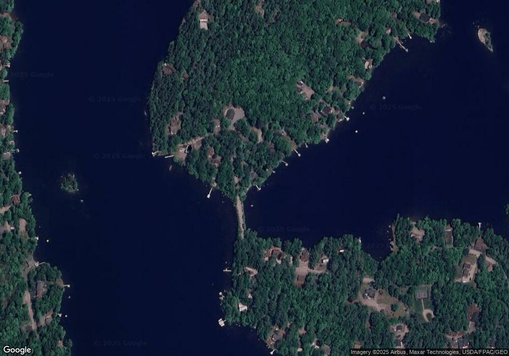
159 Mulberry Rd Dedham, ME 04429
Estimated Value: $259,382 - $486,000
Studio
--
Bath
--
Sq Ft
1.3
Acres
About This Home
This home is located at 159 Mulberry Rd, Dedham, ME 04429 and is currently estimated at $390,346. 159 Mulberry Rd is a home located in Hancock County with nearby schools including Dedham School.
Ownership History
Date
Name
Owned For
Owner Type
Purchase Details
Closed on
May 13, 2011
Sold by
Fnma
Bought by
Stark Matthew S and Stark Rhonda L
Current Estimated Value
Home Financials for this Owner
Home Financials are based on the most recent Mortgage that was taken out on this home.
Original Mortgage
$237,192
Interest Rate
4.88%
Mortgage Type
FHA
Purchase Details
Closed on
Jun 14, 2006
Sold by
Dill Debbie B
Bought by
Dill Debbie B
Purchase Details
Closed on
May 9, 2006
Sold by
Stephen L Health Ret and Health
Bought by
Dill Debbie B
Create a Home Valuation Report for This Property
The Home Valuation Report is an in-depth analysis detailing your home's value as well as a comparison with similar homes in the area
Purchase History
| Date | Buyer | Sale Price | Title Company |
|---|---|---|---|
| Stark Matthew S | -- | -- | |
| Dill Debbie B | -- | -- | |
| Dill Debbie B | -- | -- | |
| Dill Debbie B | -- | -- | |
| Dill Debbie B | -- | -- | |
| Dill Debbie B | -- | -- |
Source: Public Records
Mortgage History
| Date | Status | Borrower | Loan Amount |
|---|---|---|---|
| Previous Owner | Dill Debbie B | $237,192 |
Source: Public Records
Tax History Compared to Growth
Tax History
| Year | Tax Paid | Tax Assessment Tax Assessment Total Assessment is a certain percentage of the fair market value that is determined by local assessors to be the total taxable value of land and additions on the property. | Land | Improvement |
|---|---|---|---|---|
| 2024 | $2,654 | $162,800 | $0 | $162,800 |
| 2023 | $2,379 | $125,200 | $0 | $125,200 |
| 2022 | $2,254 | $125,200 | $0 | $125,200 |
| 2021 | $2,235 | $125,200 | $0 | $125,200 |
| 2020 | $2,197 | $125,200 | $0 | $125,200 |
Source: Public Records
Map
Nearby Homes
- 0 Bald Mountain Rd Unit 1635891
- 78 Sunset Rd
- Lot 5 Peakes Hill Rd
- 41 Rowe Brook Rd
- 52 Shore Path
- Lot 24 Grand View Dr
- 00 Green Lake Rd
- TBD Marks Mountain Way
- 672 Lower Dedham Rd
- 80 Fitts Mountain Rd
- 208 Upper Dedham Rd
- 325 Lower Dedham Rd
- 00 Main Rd
- 0 Dragonfly Dr
- 37 Lower Dedham Rd
- 1181 Happytown Rd
- 925 Main Rd
- 1445 Bangor Rd
- 1365 Bucksmills Rd
- MAP15LOT56 Upper Long Pond Rd
- 13 Beaver Cir
- 19 Beaver Cir
- 265 Beaver Cir
- 27 Beaver Cir
- 137 Mulberry Rd
- 55 Beaver Cir
- 243 Beaver Cir
- 3 Echo Cove Rd
- 0 Echo Cove Rd Unit 1225060
- 125 Mulberry Rd
- 7 Echo Cove Rd
- 0 Beaver Cir
- 79 Beaver Cir
- 201 Beaver Cir
- 15 Echo Cove Rd
- 118 Mulberry Rd
- 91 Beaver Cir
- 97 Mulberry Rd
- 23 Echo Cove Rd
- 103 Beaver Cir
