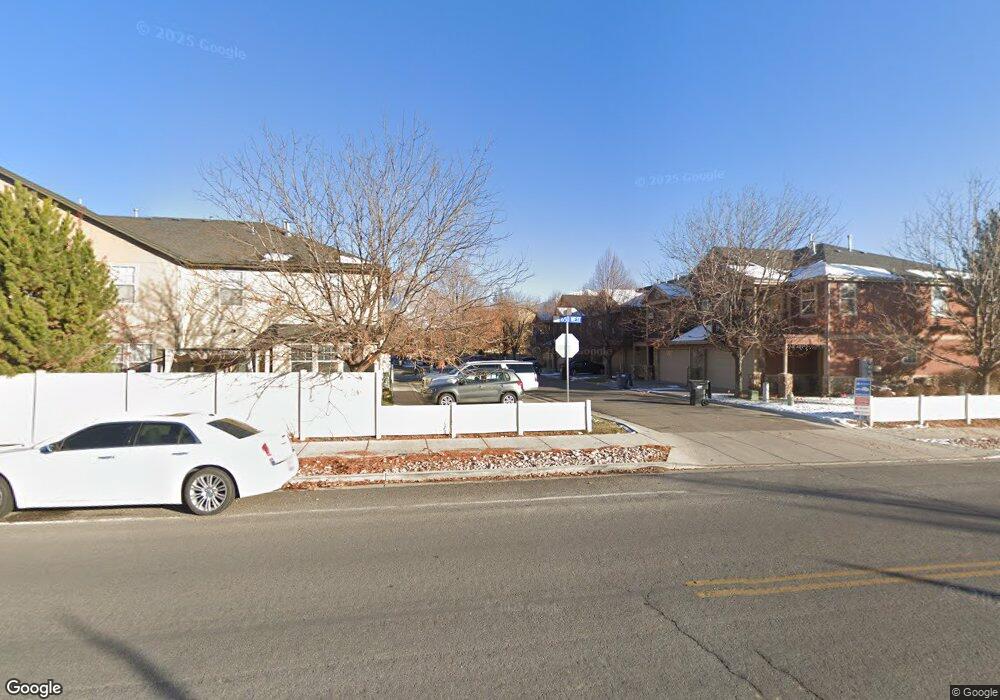
159 N 1580 W Unit S8 Pleasant Grove, UT 84062
Estimated Value: $378,000 - $397,000
3
Beds
3
Baths
1,412
Sq Ft
$272/Sq Ft
Est. Value
About This Home
This home is located at 159 N 1580 W Unit S8, Pleasant Grove, UT 84062 and is currently estimated at $384,754, approximately $272 per square foot. 159 N 1580 W Unit S8 is a home located in Utah County with nearby schools including Mount Mahogany School, Pleasant Grove Junior High School, and Pleasant Grove High School.
Ownership History
Date
Name
Owned For
Owner Type
Purchase Details
Closed on
Jun 29, 2011
Sold by
Goodwin Carli and Moffitt Carli
Bought by
Ballstaedt Joseph and Ballstaedt Camille
Current Estimated Value
Purchase Details
Closed on
Mar 16, 2007
Sold by
Castlewood Pleasant Grove Llc
Bought by
Goodwin Carli
Home Financials for this Owner
Home Financials are based on the most recent Mortgage that was taken out on this home.
Original Mortgage
$179,750
Interest Rate
6.29%
Mortgage Type
Negative Amortization
Create a Home Valuation Report for This Property
The Home Valuation Report is an in-depth analysis detailing your home's value as well as a comparison with similar homes in the area
Home Values in the Area
Average Home Value in this Area
Purchase History
| Date | Buyer | Sale Price | Title Company |
|---|---|---|---|
| Ballstaedt Joseph | -- | First American Orem | |
| Goodwin Carli | -- | Affiliated First Title Comp |
Source: Public Records
Mortgage History
| Date | Status | Borrower | Loan Amount |
|---|---|---|---|
| Previous Owner | Goodwin Carli | $179,750 |
Source: Public Records
Tax History Compared to Growth
Tax History
| Year | Tax Paid | Tax Assessment Tax Assessment Total Assessment is a certain percentage of the fair market value that is determined by local assessors to be the total taxable value of land and additions on the property. | Land | Improvement |
|---|---|---|---|---|
| 2025 | $1,684 | $199,155 | $53,200 | $308,900 |
| 2024 | $1,684 | $200,805 | $0 | $0 |
| 2023 | $1,575 | $192,445 | $0 | $0 |
| 2022 | $1,717 | $208,725 | $0 | $0 |
| 2021 | $1,479 | $273,700 | $41,100 | $232,600 |
| 2020 | $1,350 | $244,900 | $36,700 | $208,200 |
| 2019 | $1,200 | $225,100 | $33,800 | $191,300 |
| 2018 | $1,127 | $200,000 | $30,000 | $170,000 |
| 2017 | $1,025 | $96,800 | $0 | $0 |
| 2016 | $965 | $88,000 | $0 | $0 |
| 2015 | $1,019 | $88,000 | $0 | $0 |
| 2014 | $932 | $79,750 | $0 | $0 |
Source: Public Records
Map
Nearby Homes
- 1542 W 110 N
- 1593 W 220 N
- 1584 W 110 N
- 1593 W 110 N Unit 4
- 1512 W 50 N
- 1541 W 250 N
- 1429 W 110 N
- 1559 W 50 N
- 1406 W 50 N
- 1525 W 300 N
- 295 N 1580 W
- 293 N 1630 W
- 150 N 1300 W
- 1249 W Cambria Dr Unit 101
- 1267 W 20 S
- 1598 W 220 N
- 123 N Romney Ln Unit 103
- 29 S 2000 W
- 1775 W 120 S Unit 54
- 1795 W 120 S Unit 52
- 153 N 1580 W
- 153 N 1580 W Unit S7
- 159 N 1580 W
- 145 N 1580 W
- 145 N 1580 W Unit 56
- 163 N 1580 W
- 163 N 1580 W Unit S9
- 1613 W 140 N
- 1613 W 140 N Unit 60
- 1588 W 110 N
- 1619 W 140 N
- 1619 W 140 N Unit 61
- 1604 W 110 N
- 1594 W 110 N
- 1598 W 110 N
- 1608 W 110 N
- 152 N 1580 W
- 152 N 1580 W Unit 54
- 158 N 1580 W
- 158 N 1580 W Unit 53