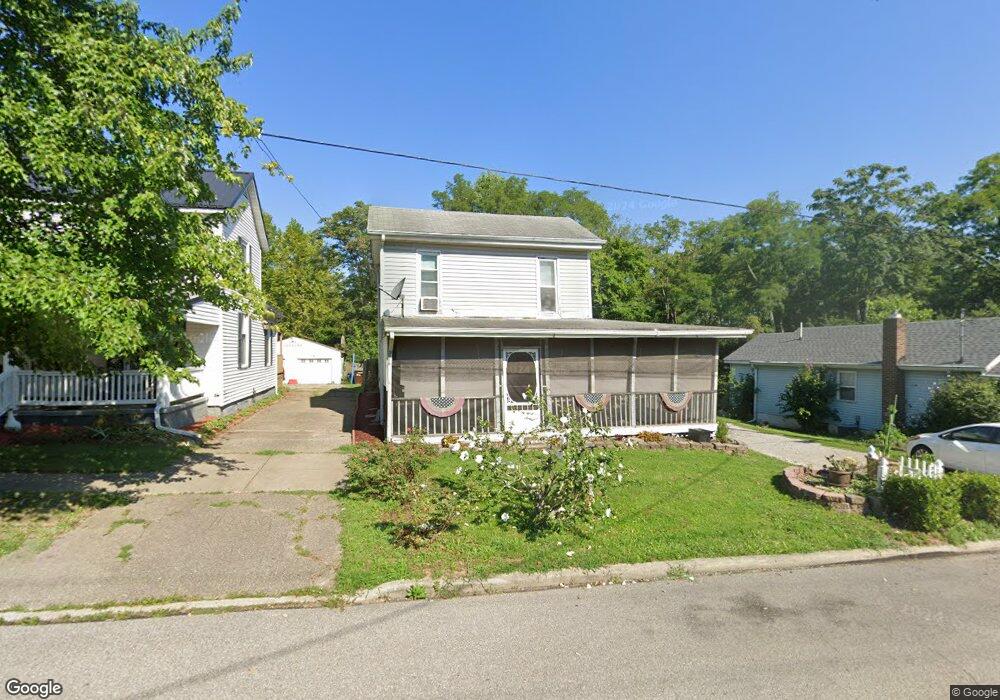
159 N 5th St Williamsburg, OH 45176
Estimated Value: $203,639 - $269,000
4
Beds
2
Baths
1,760
Sq Ft
$132/Sq Ft
Est. Value
About This Home
This home is located at 159 N 5th St, Williamsburg, OH 45176 and is currently estimated at $233,160, approximately $132 per square foot. 159 N 5th St is a home located in Clermont County with nearby schools including Williamsburg Elementary School and Williamsburg High School.
Ownership History
Date
Name
Owned For
Owner Type
Purchase Details
Closed on
Feb 17, 1999
Sold by
Schube Frank
Bought by
Barnhart Stephen and Barnhart Kathy L
Current Estimated Value
Home Financials for this Owner
Home Financials are based on the most recent Mortgage that was taken out on this home.
Original Mortgage
$74,100
Outstanding Balance
$17,750
Interest Rate
6.88%
Mortgage Type
FHA
Estimated Equity
$215,410
Purchase Details
Closed on
Jun 1, 1996
Sold by
Schube Frank
Bought by
Hauck James R and Hauck Theresa A
Purchase Details
Closed on
Apr 14, 1994
Purchase Details
Closed on
Apr 1, 1987
Create a Home Valuation Report for This Property
The Home Valuation Report is an in-depth analysis detailing your home's value as well as a comparison with similar homes in the area
Home Values in the Area
Average Home Value in this Area
Purchase History
| Date | Buyer | Sale Price | Title Company |
|---|---|---|---|
| Barnhart Stephen | $74,500 | -- | |
| Hauck James R | $62,100 | -- | |
| -- | $43,000 | -- | |
| -- | $12,100 | -- |
Source: Public Records
Mortgage History
| Date | Status | Borrower | Loan Amount |
|---|---|---|---|
| Open | Barnhart Stephen | $74,100 | |
| Closed | Hauck James R | $0 |
Source: Public Records
Tax History
| Year | Tax Paid | Tax Assessment Tax Assessment Total Assessment is a certain percentage of the fair market value that is determined by local assessors to be the total taxable value of land and additions on the property. | Land | Improvement |
|---|---|---|---|---|
| 2024 | $2,033 | $46,170 | $4,970 | $41,200 |
| 2023 | $2,036 | $46,170 | $4,970 | $41,200 |
| 2022 | $1,857 | $37,700 | $4,060 | $33,640 |
| 2021 | $1,673 | $37,700 | $4,060 | $33,640 |
| 2020 | $1,676 | $37,700 | $4,060 | $33,640 |
| 2019 | $1,717 | $37,560 | $3,820 | $33,740 |
| 2018 | $1,721 | $37,560 | $3,820 | $33,740 |
| 2017 | $1,473 | $37,560 | $3,820 | $33,740 |
| 2016 | $1,473 | $30,040 | $3,050 | $26,990 |
| 2015 | $1,422 | $30,040 | $3,050 | $26,990 |
| 2014 | $1,421 | $30,040 | $3,050 | $26,990 |
| 2013 | $1,318 | $27,380 | $4,310 | $23,070 |
Source: Public Records
Map
Nearby Homes
- 192 N Broadway St
- 171 N 4th St
- 555 Spring St
- 134 N Front St
- Acres Dela Palma Rd
- 3518 Island Trail Dr
- 114 Cornerstone Dr
- 115 Cornerstone Dr
- 111 Cornerstone Dr
- 120 Cornerstone Dr
- 122 Cornerstone Dr
- 124 Cornerstone Dr
- 126 Cornerstone Dr
- 3717 Cobb Rd
- 133 Kelly Dr
- 117 Kelly Dr
- 4325 Half-Acre Rd
- 2100 James E Sauls Sr Dr
- 4145 Half Acre Rd
- 3 James E Sauls Sr Dr
Your Personal Tour Guide
Ask me questions while you tour the home.