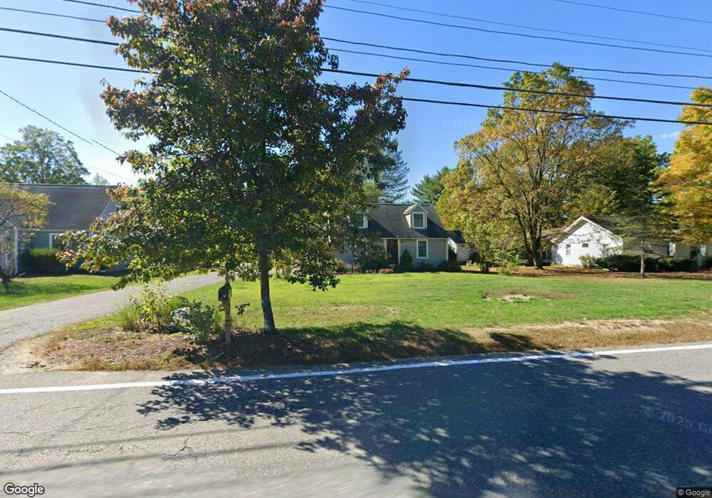
159 Old Common Rd Lancaster, MA 01523
Estimated Value: $487,000 - $528,000
3
Beds
2
Baths
1,696
Sq Ft
$297/Sq Ft
Est. Value
About This Home
This home is located at 159 Old Common Rd, Lancaster, MA 01523 and is currently estimated at $504,391, approximately $297 per square foot. 159 Old Common Rd is a home located in Worcester County with nearby schools including Mary Rowlandson Elementary School, Luther Burbank Middle School, and Nashoba Regional High School.
Ownership History
Date
Name
Owned For
Owner Type
Purchase Details
Closed on
Jan 30, 1998
Sold by
Williams Nancy M and Evans Judith A
Bought by
Williams Bruce A
Current Estimated Value
Create a Home Valuation Report for This Property
The Home Valuation Report is an in-depth analysis detailing your home's value as well as a comparison with similar homes in the area
Home Values in the Area
Average Home Value in this Area
Purchase History
| Date | Buyer | Sale Price | Title Company |
|---|---|---|---|
| Williams Bruce A | $113,000 | -- |
Source: Public Records
Mortgage History
| Date | Status | Borrower | Loan Amount |
|---|---|---|---|
| Open | Williams Bruce A | $90,000 | |
| Closed | Williams Bruce A | $83,000 | |
| Closed | Williams Bruce A | $25,000 | |
| Closed | Williams Bruce A | $14,000 |
Source: Public Records
Tax History
| Year | Tax Paid | Tax Assessment Tax Assessment Total Assessment is a certain percentage of the fair market value that is determined by local assessors to be the total taxable value of land and additions on the property. | Land | Improvement |
|---|---|---|---|---|
| 2025 | $6,847 | $423,700 | $111,400 | $312,300 |
| 2024 | $6,933 | $397,100 | $103,700 | $293,400 |
| 2023 | $6,582 | $382,900 | $94,300 | $288,600 |
| 2022 | $6,185 | $318,000 | $97,400 | $220,600 |
| 2021 | $6,068 | $303,700 | $97,400 | $206,300 |
| 2020 | $5,967 | $300,600 | $97,400 | $203,200 |
| 2019 | $5,763 | $291,800 | $97,400 | $194,400 |
| 2018 | $5,548 | $277,700 | $97,400 | $180,300 |
| 2016 | $5,196 | $265,800 | $96,500 | $169,300 |
| 2015 | $4,637 | $247,200 | $96,500 | $150,700 |
| 2014 | $4,484 | $237,100 | $96,500 | $140,600 |
Source: Public Records
Map
Nearby Homes
- 610 Ridgefield Cir Unit B
- 920 Ridgefield Cir Unit C
- 12 Woodruff Rd
- 110 Ridgefield Cir Unit C
- 46 Woodruff Rd
- 132 Kilbourn Rd
- 139 Oak Trail
- 76 Mill St Unit 3
- 114 Oak Trail
- 101 Woodruff Rd
- 73 Prescott St
- 892 Main St
- 93 Forest St
- 28 Goose Pond Path
- 113 Parker Rd Unit 1
- 508 High St
- 18 Sargent Rd
- 201 Stone St Unit 203
- 201-203 Stone St
- 0 Parker Rd
- 169 Old Common Rd
- 151 Old Common Rd
- 141 Old Common Rd
- 183 Old Common Rd
- 330 Bolton Station Rd
- 195 Old Common Rd
- 119 Old Common Rd
- 207 Old Common Rd
- 124 Old Common Rd
- 217 Old Common Rd
- 105 Old Common Rd
- Lot 2A Bolton Station Rd
- 223 Old Common Rd
- 331 Bolton Station Rd
- Lot 87 Nicholas at Eagle Ridge
- Lot 1 Oetman Way ( Off Goss)
- L-4 Kaleva Rd
- H Turner Heights
- C Turner Woods
- F Turner Heights
Your Personal Tour Guide
Ask me questions while you tour the home.