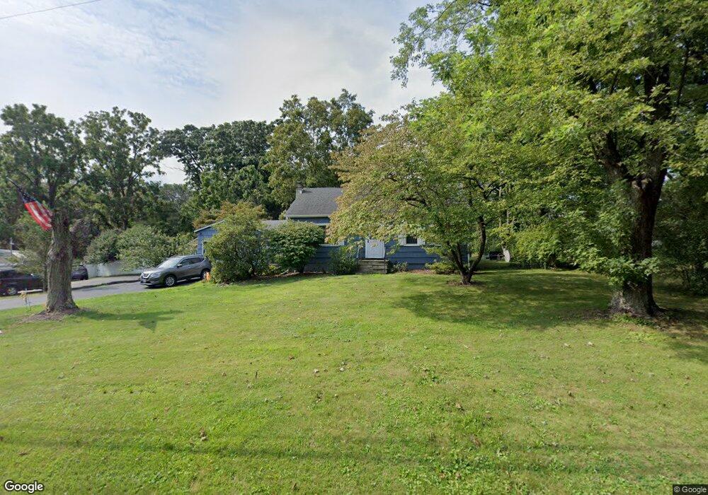
159 Old Ltl Britain Rd Newburgh, NY 12550
Estimated Value: $319,000 - $371,000
2
Beds
1
Bath
1,056
Sq Ft
$328/Sq Ft
Est. Value
About This Home
This home is located at 159 Old Ltl Britain Rd, Newburgh, NY 12550 and is currently estimated at $346,600, approximately $328 per square foot. 159 Old Ltl Britain Rd is a home located in Orange County with nearby schools including Newburgh Free Academy Main Campus and San Miguel Academy Of Newburgh.
Ownership History
Date
Name
Owned For
Owner Type
Purchase Details
Closed on
Mar 18, 2022
Sold by
Brand Patricia A
Bought by
Miller Justin
Current Estimated Value
Home Financials for this Owner
Home Financials are based on the most recent Mortgage that was taken out on this home.
Original Mortgage
$247,350
Outstanding Balance
$230,610
Interest Rate
3.89%
Mortgage Type
Purchase Money Mortgage
Estimated Equity
$115,990
Purchase Details
Closed on
Sep 5, 2011
Sold by
Swilpa Mark
Bought by
Swilpa Patricia
Create a Home Valuation Report for This Property
The Home Valuation Report is an in-depth analysis detailing your home's value as well as a comparison with similar homes in the area
Home Values in the Area
Average Home Value in this Area
Purchase History
| Date | Buyer | Sale Price | Title Company |
|---|---|---|---|
| Miller Justin | $255,000 | -- | |
| Miller Justin | $255,000 | None Available | |
| Swilpa Patricia | -- | Ross Solomon |
Source: Public Records
Mortgage History
| Date | Status | Borrower | Loan Amount |
|---|---|---|---|
| Open | Miller Justin | $247,350 |
Source: Public Records
Tax History Compared to Growth
Tax History
| Year | Tax Paid | Tax Assessment Tax Assessment Total Assessment is a certain percentage of the fair market value that is determined by local assessors to be the total taxable value of land and additions on the property. | Land | Improvement |
|---|---|---|---|---|
| 2024 | $4,234 | $38,600 | $6,400 | $32,200 |
| 2023 | $4,234 | $38,600 | $6,400 | $32,200 |
| 2022 | $4,344 | $38,600 | $6,400 | $32,200 |
| 2021 | $4,360 | $38,600 | $6,400 | $32,200 |
| 2020 | $3,528 | $38,600 | $6,400 | $32,200 |
| 2019 | $1,393 | $38,600 | $6,400 | $32,200 |
| 2018 | $1,393 | $38,600 | $6,400 | $32,200 |
| 2017 | $3,526 | $38,600 | $6,400 | $32,200 |
| 2016 | $3,453 | $38,600 | $6,400 | $32,200 |
| 2015 | -- | $38,600 | $6,400 | $32,200 |
| 2014 | -- | $38,600 | $6,400 | $32,200 |
Source: Public Records
Map
Nearby Homes
- 55 Old Little Britain Rd
- 14 Bellevue Rd
- 524 MacNary Rd
- 122 Route 17k
- 12 Oxford Rd
- 0 Silver Stream Rd Unit ONEH6282502
- 0 Silver Stream Rd Unit KEY929366
- 470 Little Britain Rd
- 35 Westbrook Rd
- 64 High Point Cir Unit 64
- 136 High Point Cir
- 321 Nina St
- 67 Keats Dr
- 36 Moores Hill Rd
- 17 Nott Place
- 83 Poplar St
- 11 Square Hill Rd Unit 27
- 17 Brookside Ave
- 16 Stirrup Dr
- 4 Locust St
- 159 Old Little Britain Rd
- 163 Old Little Britain Rd
- 157 Old Little Britain Rd
- 157 Old Little Britain Rd
- 165 Old Little Britain Rd
- 1220 New York 300
- 1221 Route 300
- 128 Old Little Britain Rd
- 128 Old Ltl Britain Rd
- 128 Old Ltl Britain Rd
- 1227 Route 300
- 1229 Route 300 Unit Suite 3
- 1229 Route 300 Unit 6
- 1229 Route 300
- 1229 Route 300 Unit Suite 3
- 1229 Route 300 Unit Suite 3
- 1229 Route 300
- 1229 Route 300
- 1229 Route 300
- 1229 Route 300 Unit 6