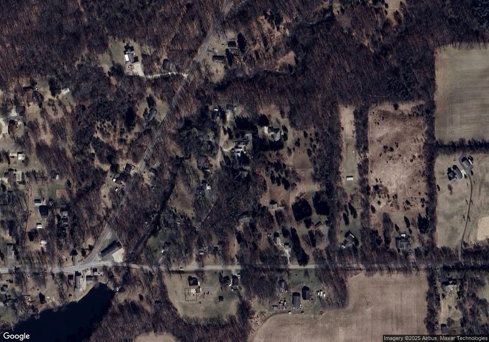
159 Penny Ln Clarklake, MI 49234
Estimated Value: $259,000 - $341,000
--
Bed
2
Baths
1,320
Sq Ft
$216/Sq Ft
Est. Value
About This Home
This home is located at 159 Penny Ln, Clarklake, MI 49234 and is currently estimated at $284,572, approximately $215 per square foot. 159 Penny Ln is a home located in Jackson County with nearby schools including Columbia Lower Elementary School, Columbia Upper Elementary School, and Columbia Central Jr./Sr. High School.
Ownership History
Date
Name
Owned For
Owner Type
Purchase Details
Closed on
Sep 11, 2009
Sold by
Smith Margaret A and Smith Margaret Anne Williams
Bought by
Smith Benjamin P
Current Estimated Value
Purchase Details
Closed on
Jul 30, 2003
Sold by
Vargo Michael C and Vargo Clara D
Bought by
Smith Benjamin P and Smith Margaret A
Home Financials for this Owner
Home Financials are based on the most recent Mortgage that was taken out on this home.
Original Mortgage
$127,000
Outstanding Balance
$54,662
Interest Rate
5.31%
Mortgage Type
Purchase Money Mortgage
Estimated Equity
$229,910
Create a Home Valuation Report for This Property
The Home Valuation Report is an in-depth analysis detailing your home's value as well as a comparison with similar homes in the area
Home Values in the Area
Average Home Value in this Area
Purchase History
| Date | Buyer | Sale Price | Title Company |
|---|---|---|---|
| Smith Benjamin P | -- | None Available | |
| Smith Benjamin P | $158,900 | -- |
Source: Public Records
Mortgage History
| Date | Status | Borrower | Loan Amount |
|---|---|---|---|
| Open | Smith Benjamin P | $127,000 |
Source: Public Records
Tax History Compared to Growth
Tax History
| Year | Tax Paid | Tax Assessment Tax Assessment Total Assessment is a certain percentage of the fair market value that is determined by local assessors to be the total taxable value of land and additions on the property. | Land | Improvement |
|---|---|---|---|---|
| 2025 | $1,995 | $121,400 | $0 | $0 |
| 2024 | $1,287 | $123,900 | $0 | $0 |
| 2022 | $1,781 | $98,800 | $0 | $0 |
| 2021 | $1,788 | $106,100 | $0 | $0 |
| 2020 | $1,858 | $94,800 | $0 | $0 |
| 2019 | $1,813 | $82,300 | $0 | $0 |
| 2018 | $1,772 | $72,100 | $0 | $0 |
| 2017 | $1,594 | $72,300 | $0 | $0 |
| 2016 | $1,064 | $70,600 | $70,600 | $0 |
| 2015 | -- | $66,900 | $66,900 | $0 |
| 2014 | -- | $62,200 | $0 | $0 |
| 2013 | -- | $62,200 | $62,200 | $0 |
Source: Public Records
Map
Nearby Homes
- 3305 E Liberty Rd
- 11075 Gates Rd
- 2204 W Liberty Rd
- 12010 Gates Rd
- 1249 Jefferson Rd
- 8381 Waite Rd
- 0 Liberty Woods Rd
- 955 Crispell Rd
- 2948 White Rd
- 295 W Shore Dr
- 283 Westshore Dr
- 1795 Richards Rd
- 5280 Jefferson Rd
- 275 Westshore Dr
- 11912 N Waldron Rd
- 1468 Vicary Rd
- 144 Westshore Dr
- 100 Southwood Dr
- 11781 Killarny Cir
- 11745 N Waldron Rd
