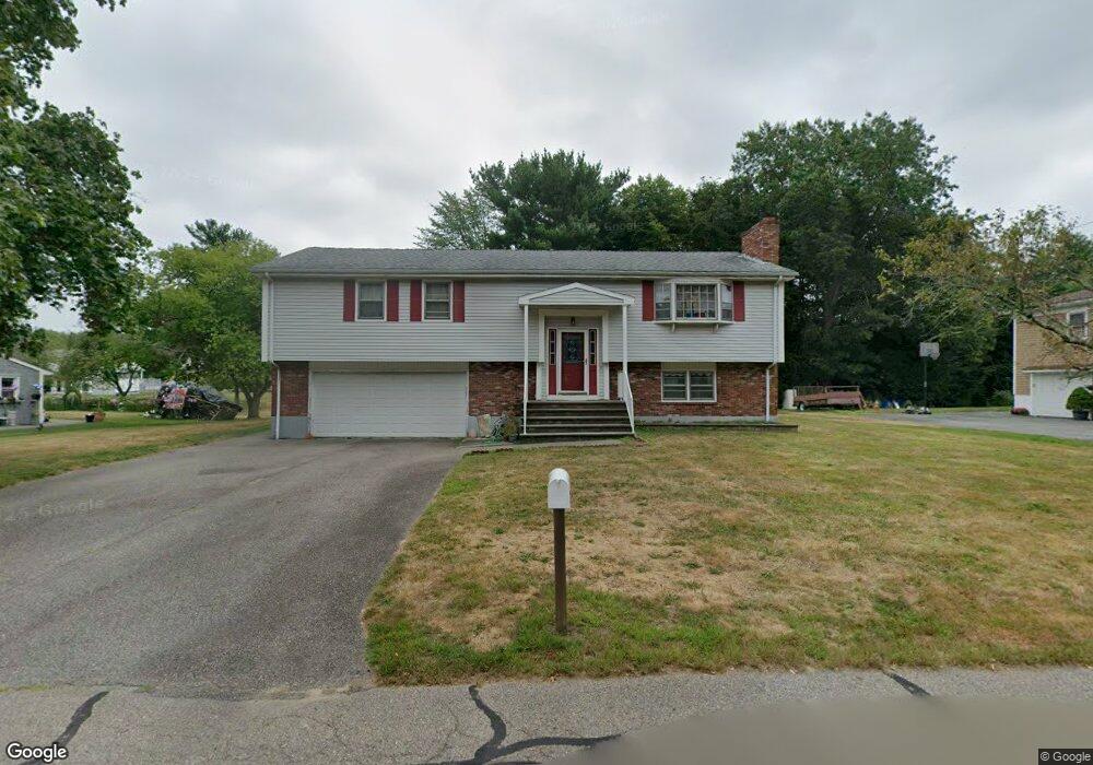
159 Power St Taunton, MA 02780
Weir Village NeighborhoodEstimated Value: $537,000 - $595,000
3
Beds
2
Baths
1,970
Sq Ft
$283/Sq Ft
Est. Value
About This Home
This home is located at 159 Power St, Taunton, MA 02780 and is currently estimated at $558,287, approximately $283 per square foot. 159 Power St is a home located in Bristol County with nearby schools including Elizabeth Pole School, Taunton High School, and John F. Parker Middle School.
Ownership History
Date
Name
Owned For
Owner Type
Purchase Details
Closed on
Mar 4, 2020
Sold by
Carreiro Arthur M Est
Bought by
Berthelette Jennifer M
Current Estimated Value
Purchase Details
Closed on
Sep 26, 2013
Sold by
Rodrigues Dolores
Bought by
Carreiro Arthur
Create a Home Valuation Report for This Property
The Home Valuation Report is an in-depth analysis detailing your home's value as well as a comparison with similar homes in the area
Home Values in the Area
Average Home Value in this Area
Purchase History
| Date | Buyer | Sale Price | Title Company |
|---|---|---|---|
| Berthelette Jennifer M | -- | None Available | |
| Carreiro Arthur | $134,500 | -- |
Source: Public Records
Tax History Compared to Growth
Tax History
| Year | Tax Paid | Tax Assessment Tax Assessment Total Assessment is a certain percentage of the fair market value that is determined by local assessors to be the total taxable value of land and additions on the property. | Land | Improvement |
|---|---|---|---|---|
| 2025 | $4,985 | $455,700 | $130,300 | $325,400 |
| 2024 | $4,567 | $408,100 | $130,300 | $277,800 |
| 2023 | $4,640 | $385,100 | $124,400 | $260,700 |
| 2022 | $4,614 | $350,100 | $113,500 | $236,600 |
| 2021 | $4,349 | $306,300 | $103,200 | $203,100 |
| 2020 | $4,247 | $285,800 | $103,200 | $182,600 |
| 2019 | $4,329 | $274,700 | $103,200 | $171,500 |
| 2018 | $4,160 | $264,600 | $104,200 | $160,400 |
| 2017 | $3,898 | $248,100 | $98,800 | $149,300 |
| 2016 | $3,758 | $239,700 | $95,900 | $143,800 |
| 2015 | $3,560 | $237,200 | $93,100 | $144,100 |
| 2014 | $3,439 | $235,400 | $93,100 | $142,300 |
Source: Public Records
Map
Nearby Homes
- 165 King James Blvd
- 28 Barbara Rd
- 26 Maynard St Unit A
- 55 Donna Terrace
- 31 Bruno's Way Unit A
- 106 Alicia Dr
- 168 Hart St Unit 22
- 0 S Main St Unit 73443212
- 600 County St
- 600 County St Lot A
- 600
- 152 Forgeriver
- 147 Colonial Dr
- 23 Johnson St Unit A
- 23 Johnson St Unit C
- 170 Hart St Unit B
- 11 Williams St
- 218R Hart St Unit B
- 218R Hart St Unit A
- 208 S Main St
- 149 Power St
- 169 Power St
- 360 King James Blvd
- 350 King James Blvd
- 160 Power St
- 370 King James Blvd
- 139 Power St
- 150 Power St
- 179 Power St
- 170 Power St
- 340 King James Blvd
- 380 King James Blvd
- 180 Power St
- 189 Power St
- 129 Power St
- 390 King James Blvd
- 130 Power St
- 355 King James Blvd
- 190 Power St
- 345 King James Blvd