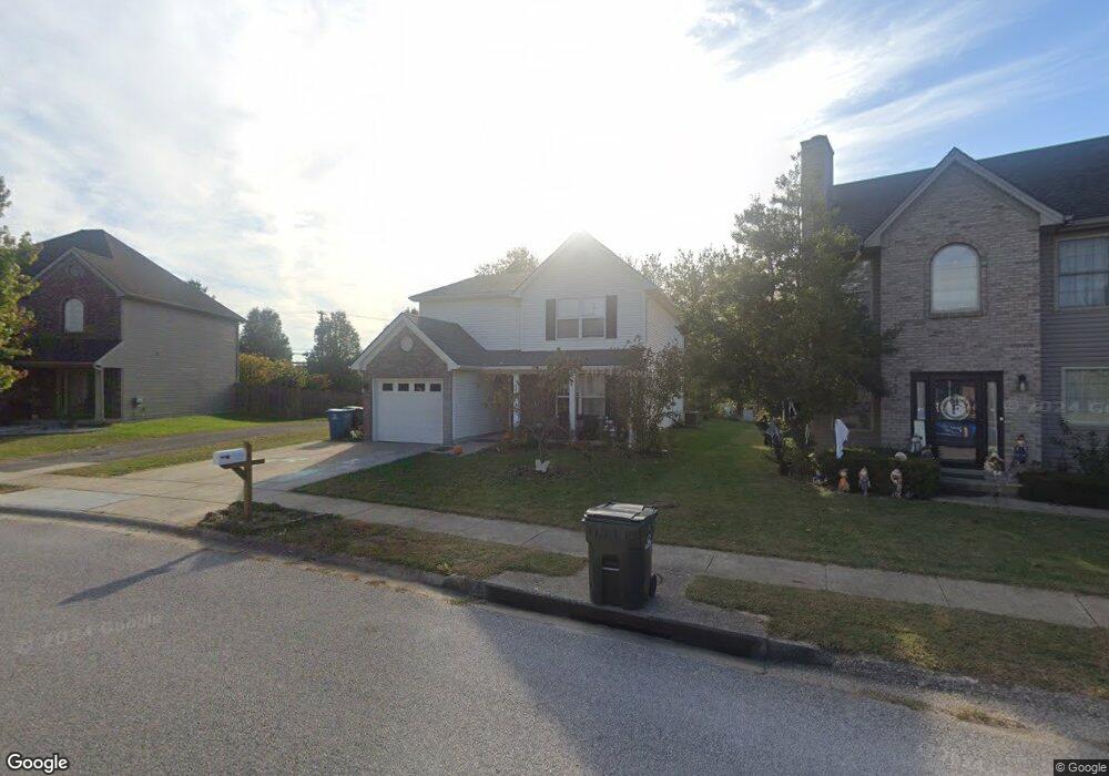
159 Ransom Trace Georgetown, KY 40324
Bradford Place NeighborhoodEstimated Value: $296,000 - $312,000
3
Beds
3
Baths
1,693
Sq Ft
$179/Sq Ft
Est. Value
About This Home
This home is located at 159 Ransom Trace, Georgetown, KY 40324 and is currently estimated at $302,748, approximately $178 per square foot. 159 Ransom Trace is a home located in Scott County with nearby schools including Southern Elementary School, Georgetown Middle School, and Scott County High School.
Ownership History
Date
Name
Owned For
Owner Type
Purchase Details
Closed on
Mar 31, 2006
Sold by
Underwood Monica M and Underwood James A
Bought by
Buffin Brandon B and Buffin Jennifer R
Current Estimated Value
Home Financials for this Owner
Home Financials are based on the most recent Mortgage that was taken out on this home.
Original Mortgage
$110,560
Interest Rate
6.25%
Mortgage Type
Adjustable Rate Mortgage/ARM
Create a Home Valuation Report for This Property
The Home Valuation Report is an in-depth analysis detailing your home's value as well as a comparison with similar homes in the area
Home Values in the Area
Average Home Value in this Area
Purchase History
| Date | Buyer | Sale Price | Title Company |
|---|---|---|---|
| Buffin Brandon B | $138,200 | Metropolitan Title Company |
Source: Public Records
Mortgage History
| Date | Status | Borrower | Loan Amount |
|---|---|---|---|
| Previous Owner | Buffin Brandon B | $110,560 |
Source: Public Records
Tax History
| Year | Tax Paid | Tax Assessment Tax Assessment Total Assessment is a certain percentage of the fair market value that is determined by local assessors to be the total taxable value of land and additions on the property. | Land | Improvement |
|---|---|---|---|---|
| 2025 | $2,093 | $235,000 | $0 | $0 |
| 2024 | $20 | $228,800 | $0 | $0 |
| 2023 | $1,984 | $218,800 | $35,000 | $183,800 |
| 2022 | $1,616 | $190,100 | $30,000 | $160,100 |
| 2021 | $1,647 | $174,800 | $30,000 | $144,800 |
| 2020 | $1,415 | $164,700 | $30,000 | $134,700 |
| 2019 | $1,382 | $158,300 | $0 | $0 |
| 2018 | $1,337 | $154,100 | $0 | $0 |
| 2017 | $1,292 | $148,120 | $0 | $0 |
| 2016 | $1,165 | $144,738 | $0 | $0 |
| 2015 | $1,111 | $138,900 | $0 | $0 |
| 2014 | -- | $137,200 | $0 | $0 |
| 2011 | $86 | $138,200 | $0 | $0 |
Source: Public Records
Map
Nearby Homes
- 115 Victor Place
- 106 Ransom Trace
- 113 Walden Cove Unit 3I
- 232 W Showalter Dr
- 106 Capella Way
- 106 Somerset Cove
- 108 Pinwheel Ct
- 251 W Showalter Dr
- 110 Capella Way
- 140 Magellan Ln
- 144 Magellan Ln
- 152 Magellan Ln
- 512 Pocahontas Trail
- 264 W Showalter Dr
- 100 Hemingway Ct
- 105 Crescent Way
- 111 Crescent Way
- 113 Crescent Way
- 117 Crescent Way
- 119 Crescent Way
- 161 Ransom Trace
- 157 Ransom Trace
- 163 Ransom Trace
- 158 Ransom Trace
- 160 Ransom Trace
- 156 Ransom Trace
- 153 Ransom Trace
- 154 Ransom Trace
- 167 Ransom Trace
- 151 Ransom Trace
- 152 Ransom Trace
- 169 Ransom Trace
- 153 Lovett Park
- 151 Lovett Park
- 149 Ransom Trace Unit 3J
- 155 Lovett Park
- 149 Lovett Park
- 150 Ransom Trace
- 147 Lovett Park
Your Personal Tour Guide
Ask me questions while you tour the home.