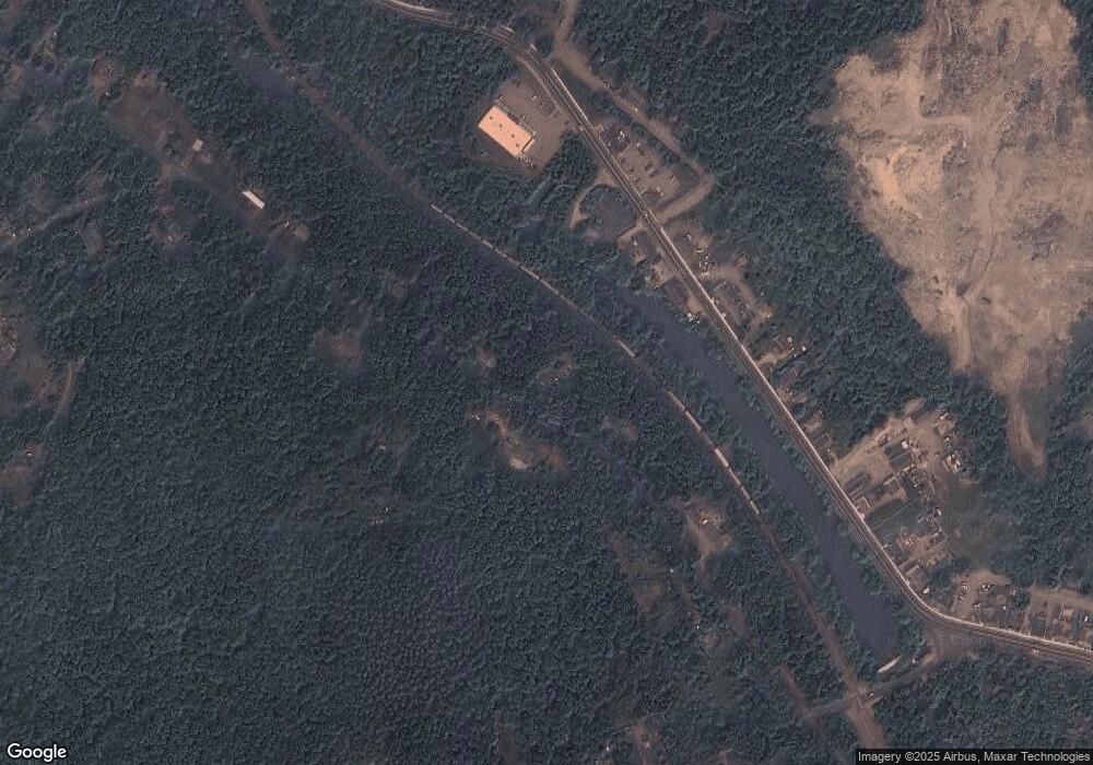
159 Reardon Rd North Grosvenordale, CT 06255
Estimated Value: $323,000
3
Beds
1
Bath
1,008
Sq Ft
$320/Sq Ft
Est. Value
About This Home
This home is located at 159 Reardon Rd, North Grosvenordale, CT 06255 and is currently estimated at $323,000, approximately $320 per square foot. 159 Reardon Rd is a home located in Windham County with nearby schools including Mary R. Fisher Elementary School, Thompson Middle School, and Tourtellotte Memorial High School.
Ownership History
Date
Name
Owned For
Owner Type
Purchase Details
Closed on
Jul 15, 2005
Sold by
Czelusniak Jeffrey P
Bought by
Fontaine Dean J and Fontaine Christina A
Current Estimated Value
Home Financials for this Owner
Home Financials are based on the most recent Mortgage that was taken out on this home.
Original Mortgage
$163,200
Outstanding Balance
$85,247
Interest Rate
5.67%
Estimated Equity
$237,753
Purchase Details
Closed on
Jul 8, 1999
Sold by
Faucher Paul B and Faucher Carla J
Bought by
Czelusniak Jeffrey P
Purchase Details
Closed on
Apr 11, 1989
Sold by
Krogul Michael
Bought by
Faucher Paul
Create a Home Valuation Report for This Property
The Home Valuation Report is an in-depth analysis detailing your home's value as well as a comparison with similar homes in the area
Home Values in the Area
Average Home Value in this Area
Purchase History
| Date | Buyer | Sale Price | Title Company |
|---|---|---|---|
| Fontaine Dean J | $204,000 | -- | |
| Fontaine Dean J | $204,000 | -- | |
| Czelusniak Jeffrey P | $95,000 | -- | |
| Czelusniak Jeffrey P | $95,000 | -- | |
| Faucher Paul | $106,750 | -- |
Source: Public Records
Mortgage History
| Date | Status | Borrower | Loan Amount |
|---|---|---|---|
| Open | Faucher Paul | $163,200 | |
| Closed | Faucher Paul | $40,800 | |
| Closed | Faucher Paul | $163,200 |
Source: Public Records
Tax History Compared to Growth
Tax History
| Year | Tax Paid | Tax Assessment Tax Assessment Total Assessment is a certain percentage of the fair market value that is determined by local assessors to be the total taxable value of land and additions on the property. | Land | Improvement |
|---|---|---|---|---|
| 2024 | $3,160 | $112,400 | $32,800 | $79,600 |
| 2023 | $2,922 | $112,400 | $32,800 | $79,600 |
| 2022 | $2,812 | $112,400 | $32,800 | $79,600 |
| 2021 | $2,804 | $112,400 | $32,800 | $79,600 |
| 2020 | $2,723 | $112,400 | $32,800 | $79,600 |
| 2019 | $2,697 | $97,200 | $34,400 | $62,800 |
| 2018 | $2,697 | $97,200 | $34,400 | $62,800 |
| 2017 | $2,533 | $97,200 | $34,400 | $62,800 |
| 2016 | $2,533 | $97,200 | $34,400 | $62,800 |
| 2015 | $2,411 | $97,200 | $34,400 | $62,800 |
| 2014 | $2,385 | $104,300 | $36,200 | $68,100 |
Source: Public Records
Map
Nearby Homes
- 245 Reardon Rd
- 117 Riverside Dr
- 1 First St
- 51 Main St
- 31 Rawson Ave
- 93 Red Bridge Rd
- 51 Pasay Rd
- 942 Riverside Dr
- 37 Buckley Hill Rd
- 983 Riverside Dr
- 14 Buckley Hill Rd
- 183 Thompson Rd
- 369 Thompson Rd
- 0 Lowell Davis Rd
- 206 Stawicki Rd
- 166 Fabyan Rd
- Lot 169A Kapitulik Rd
- 75 Hagstrom Rd
- 99 Azud Rd
- 267 Chase Rd
- 153 Reardon Rd
- 156 Reardon Rd
- 167 Reardon Rd
- 147 Reardon Rd
- 682 Riverside Dr
- 690B Riverside Dr Unit B
- 690 Riverside Dr Unit B
- 690 Riverside Dr Unit A
- 690B Riverside Dr
- 690 Riverside Dr
- 687 Riverside Dr
- 141 Reardon Rd
- 179 Reardon Rd
- 673 Riverside Dr
- 693 Riverside Dr
- 669 Riverside Dr
- 140 Reardon Rd
- 667 Riverside Dr
- 663 Riverside Dr
- 661 Riverside Dr
