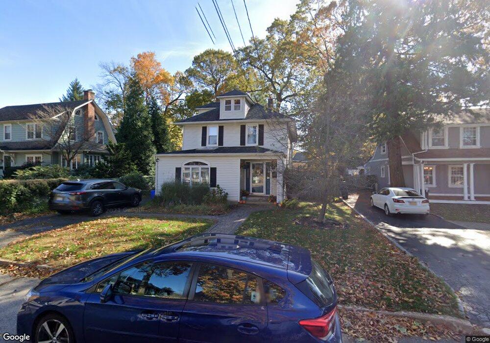
159 Saint Andrews Ln Glen Cove, NY 11542
Estimated Value: $786,297 - $880,000
--
Bed
1
Bath
2,234
Sq Ft
$373/Sq Ft
Est. Value
About This Home
This home is located at 159 Saint Andrews Ln, Glen Cove, NY 11542 and is currently estimated at $833,149, approximately $372 per square foot. 159 Saint Andrews Ln is a home with nearby schools including Robert M Finley Middle School, Glen Cove High School, and Friends Academy.
Ownership History
Date
Name
Owned For
Owner Type
Purchase Details
Closed on
Feb 22, 2021
Sold by
Point Digital Finance Inc
Bought by
Kingsbridge Alternative Strategies Fund
Current Estimated Value
Home Financials for this Owner
Home Financials are based on the most recent Mortgage that was taken out on this home.
Original Mortgage
$72,000
Interest Rate
2.7%
Mortgage Type
Unknown
Purchase Details
Closed on
Oct 26, 2011
Sold by
Yastrub Diane and Yastrub Bruce David
Bought by
Cullen Robert and Cullen Celina
Home Financials for this Owner
Home Financials are based on the most recent Mortgage that was taken out on this home.
Original Mortgage
$406,828
Interest Rate
3.87%
Mortgage Type
FHA
Create a Home Valuation Report for This Property
The Home Valuation Report is an in-depth analysis detailing your home's value as well as a comparison with similar homes in the area
Home Values in the Area
Average Home Value in this Area
Purchase History
| Date | Buyer | Sale Price | Title Company |
|---|---|---|---|
| Kingsbridge Alternative Strategies Fund | -- | None Available | |
| Cullen Robert | $450,000 | -- |
Source: Public Records
Mortgage History
| Date | Status | Borrower | Loan Amount |
|---|---|---|---|
| Previous Owner | Kingsbridge Alternative Strategies Fund | $72,000 | |
| Previous Owner | Cullen Robert | $406,828 |
Source: Public Records
Tax History Compared to Growth
Tax History
| Year | Tax Paid | Tax Assessment Tax Assessment Total Assessment is a certain percentage of the fair market value that is determined by local assessors to be the total taxable value of land and additions on the property. | Land | Improvement |
|---|---|---|---|---|
| 2025 | $985 | $517 | $175 | $342 |
| 2024 | $1,072 | $541 | $183 | $358 |
| 2023 | $779 | $541 | $183 | $358 |
| 2022 | $985 | $541 | $183 | $358 |
| 2021 | $10,215 | $545 | $184 | $361 |
| 2020 | $9,887 | $715 | $714 | $1 |
| 2019 | $885 | $766 | $718 | $48 |
| 2018 | $891 | $817 | $0 | $0 |
| 2017 | $933 | $868 | $551 | $317 |
| 2016 | $933 | $1,025 | $651 | $374 |
| 2015 | $1,304 | $1,206 | $766 | $440 |
| 2014 | $1,304 | $1,206 | $766 | $440 |
| 2013 | $1,266 | $1,234 | $766 | $468 |
Source: Public Records
Map
Nearby Homes
- 4 Cosgrove Dr
- 35 Highland Rd
- 7 Edgehill Rd
- 43 Ravine Ave
- 2 Seaman Rd
- 209 Breton Way
- 36 Woolsey Ave
- 118 Highland Rd
- 4 Timber Rd
- 512 Breton Way
- 8 Cambridge St
- 0 Long Branch Rd Unit KEY868505
- 7 Ashleigh Ct
- 704 Breton Way Unit 704
- 14 Long Branch Rd
- 19 Timber Rd
- 7 Driftwood Dr
- 78 Chestnut St
- 18 Kirkwood Dr
- 20 Hendrick Ave
- 161 Saint Andrews Ln
- 157 Saint Andrews Ln
- 163 Saint Andrews Ln
- 160 Saint Andrews Ln
- 153 Saint Andrews Ln
- 158 Saint Andrews Ln
- 164 Saint Andrews Ln
- 1 Madeline Place
- 13 Elliott Place
- 162 Saint Andrews Ln
- 47 Dosoris Way
- 3 Madeline Place
- 11 Elliott Place
- 5 Madeline Place
- 45 Dosoris Way
- 154 Saint Andrews Ln
- 41 Dosoris Way
- 152 Saint Andrews Ln
- 9 Elliott Place
- 149 Saint Andrews Ln