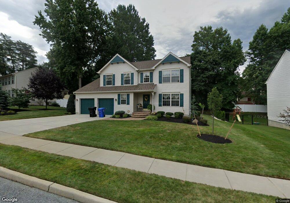
159 Stanhope Ave Mantua, NJ 08051
Mantua Township NeighborhoodEstimated Value: $540,270 - $571,000
--
Bed
--
Bath
2,401
Sq Ft
$231/Sq Ft
Est. Value
About This Home
This home is located at 159 Stanhope Ave, Mantua, NJ 08051 and is currently estimated at $554,818, approximately $231 per square foot. 159 Stanhope Ave is a home located in Gloucester County with nearby schools including Centre City School, Clearview Regional Middle School, and Clearview Regional High School.
Ownership History
Date
Name
Owned For
Owner Type
Purchase Details
Closed on
Oct 19, 1998
Sold by
Headley Homes Inc
Bought by
Cotton Steven and Cotton Lizanne
Current Estimated Value
Home Financials for this Owner
Home Financials are based on the most recent Mortgage that was taken out on this home.
Original Mortgage
$130,000
Outstanding Balance
$27,849
Interest Rate
6.65%
Estimated Equity
$526,969
Create a Home Valuation Report for This Property
The Home Valuation Report is an in-depth analysis detailing your home's value as well as a comparison with similar homes in the area
Home Values in the Area
Average Home Value in this Area
Purchase History
| Date | Buyer | Sale Price | Title Company |
|---|---|---|---|
| Cotton Steven | $191,995 | Settlers Title Agency Lp |
Source: Public Records
Mortgage History
| Date | Status | Borrower | Loan Amount |
|---|---|---|---|
| Open | Cotton Steven | $130,000 |
Source: Public Records
Tax History Compared to Growth
Tax History
| Year | Tax Paid | Tax Assessment Tax Assessment Total Assessment is a certain percentage of the fair market value that is determined by local assessors to be the total taxable value of land and additions on the property. | Land | Improvement |
|---|---|---|---|---|
| 2025 | $10,344 | $401,700 | $104,900 | $296,800 |
| 2024 | $10,235 | $401,700 | $104,900 | $296,800 |
| 2023 | $10,235 | $401,700 | $104,900 | $296,800 |
| 2022 | $9,235 | $264,000 | $62,500 | $201,500 |
| 2021 | $9,303 | $264,000 | $62,500 | $201,500 |
| 2020 | $9,229 | $264,000 | $62,500 | $201,500 |
| 2019 | $9,074 | $264,000 | $62,500 | $201,500 |
| 2018 | $8,944 | $264,000 | $62,500 | $201,500 |
| 2017 | $8,810 | $264,000 | $62,500 | $201,500 |
| 2016 | $8,709 | $264,000 | $62,500 | $201,500 |
| 2015 | $8,496 | $264,000 | $62,500 | $201,500 |
| 2014 | $8,210 | $264,000 | $62,500 | $201,500 |
Source: Public Records
Map
Nearby Homes
- 8 Barry Dr
- 119 Monroe Ave
- 325 Bridgeton Pike
- 1433 Tristram Cir
- 1215 Tristram Cir
- 1145 Tristram Cir
- 1147 Tristram Cir Unit 1147
- 1134 Tristram Cir Unit 4
- 26 Woodstream Ct
- 41 Woodbrook Dr Unit C041
- 204 W Landing Rd
- 485 Harrison Ave
- 261 Tony Cir
- 47 New Jersey Ave
- 36 Bluebird Rd
- 19 Marathon Dr
- 17 Oakton Dr
- 748 Dartmouth Dr
- 190 Mockingbird Ln
- 111 Cove Rd
- 163 Stanhope Ave
- 157 Stanhope Ave
- 134 Brougham Ave
- 138 Brougham Ave
- 130 Brougham Ave
- 160 Stanhope Ave
- 158 Stanhope Ave
- 155 Stanhope Ave
- 162 Stanhope Ave
- 156 Stanhope Ave
- 142 Brougham Ave
- 126 Brougham Ave
- 164 Stanhope Ave
- 171 Victoria Ave
- 154 Stanhope Ave
- 133 Brougham Ave
- 169 Victoria Ave
- 137 Brougham Ave
- 173 Victoria Ave
- 153 Stanhope Ave