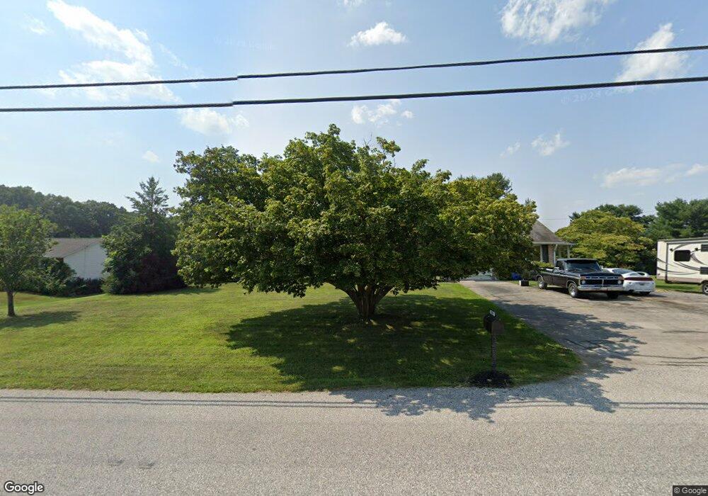
159 Sunset Dr Hanover, PA 17331
Estimated Value: $382,000 - $435,000
4
Beds
3
Baths
2,024
Sq Ft
$199/Sq Ft
Est. Value
About This Home
This home is located at 159 Sunset Dr, Hanover, PA 17331 and is currently estimated at $403,605, approximately $199 per square foot. 159 Sunset Dr is a home located in York County with nearby schools including South Western Senior High School, St Joseph Catholic School, and Delone Catholic High School.
Ownership History
Date
Name
Owned For
Owner Type
Purchase Details
Closed on
May 5, 2014
Sold by
Eyler Wesley F and Eyler Michelle L
Bought by
Eyler Wesley F
Current Estimated Value
Home Financials for this Owner
Home Financials are based on the most recent Mortgage that was taken out on this home.
Original Mortgage
$185,400
Outstanding Balance
$99,551
Interest Rate
4.21%
Mortgage Type
VA
Estimated Equity
$304,054
Purchase Details
Closed on
Dec 1, 2004
Sold by
Nace Phillip G
Bought by
Eyler Wesley F and Eyler Michelle L
Home Financials for this Owner
Home Financials are based on the most recent Mortgage that was taken out on this home.
Original Mortgage
$211,120
Interest Rate
5.63%
Mortgage Type
VA
Create a Home Valuation Report for This Property
The Home Valuation Report is an in-depth analysis detailing your home's value as well as a comparison with similar homes in the area
Home Values in the Area
Average Home Value in this Area
Purchase History
| Date | Buyer | Sale Price | Title Company |
|---|---|---|---|
| Eyler Wesley F | -- | None Available | |
| Eyler Wesley F | $225,000 | -- |
Source: Public Records
Mortgage History
| Date | Status | Borrower | Loan Amount |
|---|---|---|---|
| Open | Eyler Wesley F | $185,400 | |
| Closed | Eyler Wesley F | $211,120 |
Source: Public Records
Tax History Compared to Growth
Tax History
| Year | Tax Paid | Tax Assessment Tax Assessment Total Assessment is a certain percentage of the fair market value that is determined by local assessors to be the total taxable value of land and additions on the property. | Land | Improvement |
|---|---|---|---|---|
| 2025 | $7,650 | $229,040 | $62,910 | $166,130 |
| 2024 | $7,650 | $229,040 | $62,910 | $166,130 |
| 2023 | $7,513 | $229,040 | $62,910 | $166,130 |
| 2022 | $7,396 | $229,040 | $62,910 | $166,130 |
| 2021 | $7,059 | $229,040 | $62,910 | $166,130 |
| 2020 | $7,059 | $229,040 | $62,910 | $166,130 |
| 2019 | $6,924 | $229,040 | $62,910 | $166,130 |
| 2018 | $6,809 | $229,040 | $62,910 | $166,130 |
| 2017 | $6,677 | $229,040 | $62,910 | $166,130 |
| 2016 | $0 | $229,040 | $62,910 | $166,130 |
| 2015 | -- | $229,040 | $62,910 | $166,130 |
| 2014 | -- | $229,040 | $62,910 | $166,130 |
Source: Public Records
Map
Nearby Homes
- 11 Joshua Dr
- 91 Sunset Dr
- 86 Kimberly Dr
- 12 Joshua Dr
- 108 Kimberly Dr
- 121 Oak Hills Dr
- 168 Joshua Dr Unit 240
- 93 Knobby Hook
- 204 Joshua Dr
- Penwell Plan at High Pointe South
- HAMPSHIRE Plan at High Pointe South
- 266 Fairview Dr
- 18 Cardinal Dr
- 14 Garden Ln
- 26 Yara Way
- 6 Meadow Ln
- 4261 Grandview Rd
- 80 Menlena Cir
- 71 Menlena Cir
- 510 Fairview Dr