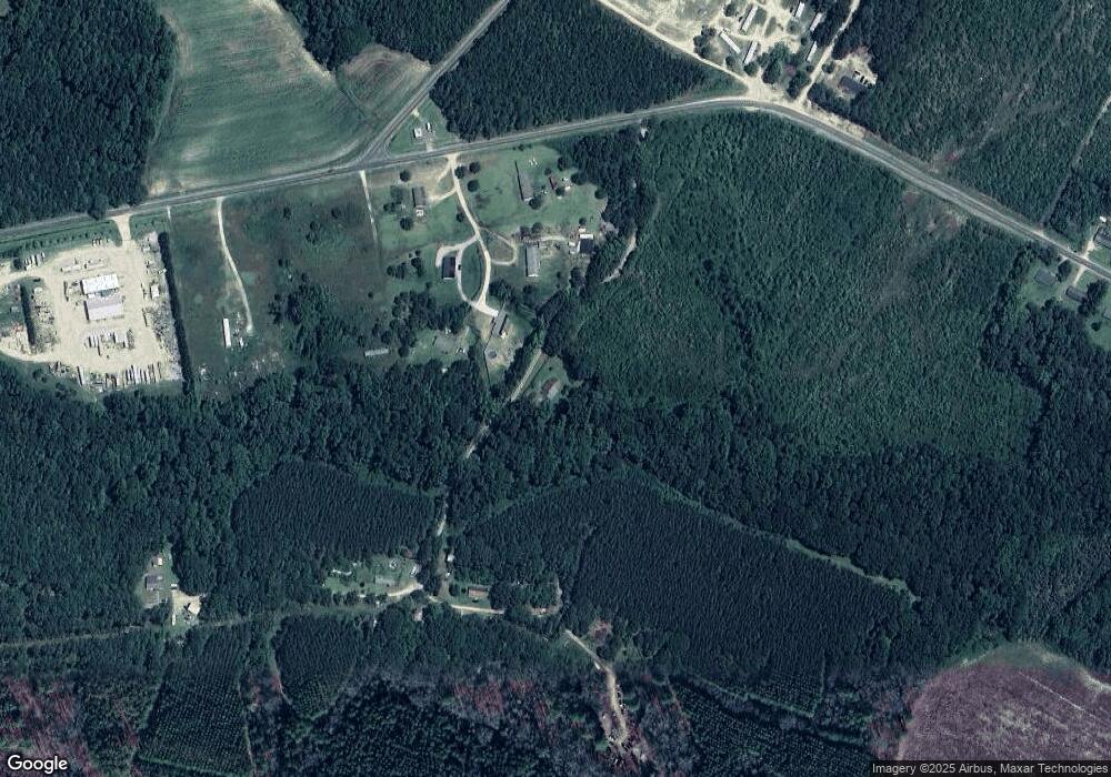
159 Tomato Ln S Bunnlevel, NC 28323
Estimated Value: $178,000
--
Bed
--
Bath
--
Sq Ft
43.45
Acres
About This Home
This home is located at 159 Tomato Ln S, Bunnlevel, NC 28323 and is currently priced at $178,000. 159 Tomato Ln S is a home located in Harnett County with nearby schools including Anderson Creek Primary School, South Harnett Elementary School, and Overhills Middle School.
Ownership History
Date
Name
Owned For
Owner Type
Purchase Details
Closed on
Oct 10, 2025
Sold by
Mclean Road Investors Llc
Bought by
Ambrosia Farm Llc
Current Estimated Value
Home Financials for this Owner
Home Financials are based on the most recent Mortgage that was taken out on this home.
Original Mortgage
$1,230,000
Outstanding Balance
$1,130,426
Interest Rate
6.3%
Mortgage Type
Construction
Purchase Details
Closed on
Jun 9, 2023
Sold by
Robbins Stephanie Hartman and Robbins Jonathan
Bought by
Mclean Road Investors Llc
Home Financials for this Owner
Home Financials are based on the most recent Mortgage that was taken out on this home.
Original Mortgage
$354,900
Interest Rate
6.39%
Purchase Details
Closed on
Dec 30, 2003
Bought by
Kelly Delilah Strickland
Create a Home Valuation Report for This Property
The Home Valuation Report is an in-depth analysis detailing your home's value as well as a comparison with similar homes in the area
Home Values in the Area
Average Home Value in this Area
Purchase History
| Date | Buyer | Sale Price | Title Company |
|---|---|---|---|
| Ambrosia Farm Llc | $1,230,000 | None Listed On Document | |
| Mclean Road Investors Llc | $400,000 | None Listed On Document | |
| Kelly Delilah Strickland | -- | -- |
Source: Public Records
Mortgage History
| Date | Status | Borrower | Loan Amount |
|---|---|---|---|
| Open | Ambrosia Farm Llc | $1,230,000 | |
| Previous Owner | Mclean Road Investors Llc | $354,900 | |
| Previous Owner | Mclean Road Investors Llc | $354,900 |
Source: Public Records
Tax History Compared to Growth
Tax History
| Year | Tax Paid | Tax Assessment Tax Assessment Total Assessment is a certain percentage of the fair market value that is determined by local assessors to be the total taxable value of land and additions on the property. | Land | Improvement |
|---|---|---|---|---|
| 2025 | $1,391 | $198,420 | $0 | $0 |
| 2024 | $1,371 | $198,420 | $0 | $0 |
| 2023 | $1,775 | $256,880 | $0 | $0 |
| 2022 | $263 | $30,940 | $0 | $0 |
| 2021 | $133 | $15,630 | $0 | $0 |
| 2020 | $133 | $15,630 | $0 | $0 |
| 2019 | $133 | $15,630 | $0 | $0 |
| 2018 | $133 | $15,630 | $0 | $0 |
| 2017 | $113 | $15,630 | $0 | $0 |
| 2016 | $174 | $20,940 | $0 | $0 |
| 2015 | -- | $20,940 | $0 | $0 |
| 2014 | -- | $20,940 | $0 | $0 |
Source: Public Records
Map
Nearby Homes
- 2455 McLean Chapel Church Rd
- 444 Sanderfer Rd
- 0 Sanderfer Rd Unit 10126922
- 00 McLean Chapel Church Rd
- 2915 McLean Chapel Church Rd
- 0 McLean Chapel Church Rd Unit 24675931
- 0 Wire Rd
- 2727 Wire Rd
- 1271 Nutgrass Rd
- 3792 McNeill Hobbs Rd
- 2470 Wire Rd
- 6200 U S 401
- 4722 McNeill Hobbs Rd
- 0 McNeill Hobbs Rd Unit 10126921
- 7111 U S 401
- 3905 McLean Chapel Church Rd
- 687 Brock Rd
- 10 Braxton Ct
- 0 Walker Rd Unit 752184
- 1500 McNeill Hobbs Rd
- 85 Character Ct
- 104 Character Ct
- 65 Character Ct
- 70 Character Ct
- 0 Character Ct Unit 1909879
- 0 Character Ct Unit 1849978
- 0 Character Ct Unit 3 TR1909879
- 0 Character Ct Unit 1 1849978
- 29 Character Ct Unit 1
- 29 Character Ct
- 2129 McLean Chapel Church Rd
- 24 Character Ct Unit 38607551
- 24 Character Ct
- 18 Shetland Ln
- 35 Shetland Ln
- 23 Shetland Ln
- 1756 McLean Chapel Church Rd
- 47 Shetland Ln
- 25 Elizabeth McLean Ln
- 1633 McLean Chapel Church Rd
