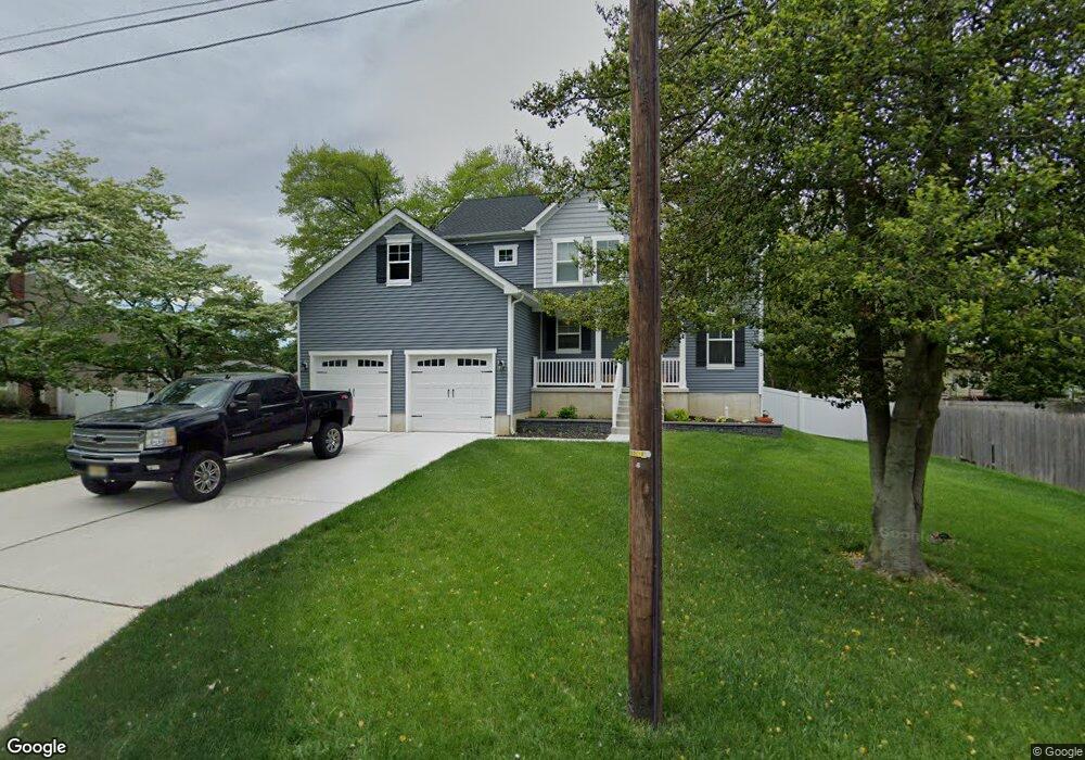
159 Union Ave West Deptford, NJ 08086
West Deptford Township NeighborhoodEstimated Value: $408,000 - $554,000
4
Beds
3
Baths
2,060
Sq Ft
$231/Sq Ft
Est. Value
About This Home
This home is located at 159 Union Ave, West Deptford, NJ 08086 and is currently estimated at $476,780, approximately $231 per square foot. 159 Union Ave is a home located in Gloucester County with nearby schools including Red Bank Elementary School, Oakview Elementary School, and Green-Fields Elementary School.
Ownership History
Date
Name
Owned For
Owner Type
Purchase Details
Closed on
Jan 29, 2021
Sold by
Tlam Corporation
Bought by
Brooks James Matthew
Current Estimated Value
Home Financials for this Owner
Home Financials are based on the most recent Mortgage that was taken out on this home.
Original Mortgage
$10,000
Interest Rate
2.6%
Purchase Details
Closed on
Jan 25, 2021
Sold by
Tlam Corporation
Bought by
Brooks James Matthew
Home Financials for this Owner
Home Financials are based on the most recent Mortgage that was taken out on this home.
Original Mortgage
$10,000
Interest Rate
2.6%
Purchase Details
Closed on
Mar 20, 2003
Sold by
Clifford Joseph D and Clifford Evelyn C
Bought by
Gerety Edward and Gerety Catherine
Purchase Details
Closed on
Jan 31, 2002
Sold by
Clifford Joseph D and Clifford Evelyn C
Bought by
Clifford Joseph D and Clifford Evelyn C
Create a Home Valuation Report for This Property
The Home Valuation Report is an in-depth analysis detailing your home's value as well as a comparison with similar homes in the area
Home Values in the Area
Average Home Value in this Area
Purchase History
| Date | Buyer | Sale Price | Title Company |
|---|---|---|---|
| Brooks James Matthew | $339,900 | None Listed On Document | |
| Brooks James Matthew | $339,900 | S Jerty Title Company Llc | |
| Gerety Edward | $35,000 | -- | |
| Clifford Joseph D | -- | -- |
Source: Public Records
Mortgage History
| Date | Status | Borrower | Loan Amount |
|---|---|---|---|
| Closed | Brooks James Matthew | $10,000 | |
| Open | Brooks James Matthew | $333,743 | |
| Closed | Brooks James Matthew | $333,743 |
Source: Public Records
Tax History Compared to Growth
Tax History
| Year | Tax Paid | Tax Assessment Tax Assessment Total Assessment is a certain percentage of the fair market value that is determined by local assessors to be the total taxable value of land and additions on the property. | Land | Improvement |
|---|---|---|---|---|
| 2025 | $10,452 | $299,300 | $55,100 | $244,200 |
| 2024 | $10,317 | $299,300 | $55,100 | $244,200 |
| 2023 | $10,317 | $299,300 | $55,100 | $244,200 |
| 2022 | $10,269 | $299,300 | $55,100 | $244,200 |
| 2021 | $1,884 | $55,100 | $55,100 | $0 |
| 2020 | $1,879 | $55,100 | $55,100 | $0 |
| 2019 | $1,827 | $55,100 | $55,100 | $0 |
| 2018 | $1,778 | $55,100 | $55,100 | $0 |
| 2017 | $1,736 | $55,100 | $55,100 | $0 |
| 2016 | $1,688 | $55,100 | $55,100 | $0 |
| 2015 | $1,608 | $55,100 | $55,100 | $0 |
| 2014 | $1,528 | $55,100 | $55,100 | $0 |
Source: Public Records
Map
Nearby Homes
- 112 N Drexel St
- 197 Morris Ave
- 625 Delaware St
- 91 N American St
- 44 N American St
- 21 S Columbia St
- 266 Passaic Ave
- 366 Pixley Place
- 227 S Horace St
- 224 Delaware St
- 523 Queen St
- 558 Prince St
- 125 S Davis St
- 2 Victorian Way
- 3 Victorian Way
- 660 W Red Bank Ave
- 7 Victorian Way
- 34 S Jackson St
- 845 W Red Bank Ave
- 438 S Columbia St