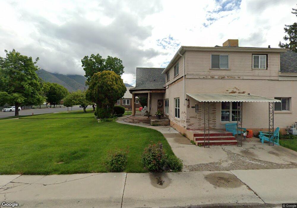
159 W 400 S Springville, UT 84663
Estimated Value: $638,000 - $800,000
9
Beds
4
Baths
3,689
Sq Ft
$196/Sq Ft
Est. Value
About This Home
This home is located at 159 W 400 S, Springville, UT 84663 and is currently estimated at $721,517, approximately $195 per square foot. 159 W 400 S is a home located in Utah County with nearby schools including Meadow Brook Elementary School, Springville Junior High School, and Springville High School.
Ownership History
Date
Name
Owned For
Owner Type
Purchase Details
Closed on
Dec 12, 2008
Sold by
Alleman Grace T
Bought by
Eyres Todd A
Current Estimated Value
Home Financials for this Owner
Home Financials are based on the most recent Mortgage that was taken out on this home.
Original Mortgage
$222,069
Outstanding Balance
$149,148
Interest Rate
6.47%
Mortgage Type
FHA
Estimated Equity
$572,369
Create a Home Valuation Report for This Property
The Home Valuation Report is an in-depth analysis detailing your home's value as well as a comparison with similar homes in the area
Home Values in the Area
Average Home Value in this Area
Purchase History
| Date | Buyer | Sale Price | Title Company |
|---|---|---|---|
| Eyres Todd A | -- | Sundance Title Insurance Ag |
Source: Public Records
Mortgage History
| Date | Status | Borrower | Loan Amount |
|---|---|---|---|
| Open | Eyres Todd A | $222,069 |
Source: Public Records
Tax History Compared to Growth
Tax History
| Year | Tax Paid | Tax Assessment Tax Assessment Total Assessment is a certain percentage of the fair market value that is determined by local assessors to be the total taxable value of land and additions on the property. | Land | Improvement |
|---|---|---|---|---|
| 2025 | $2,881 | $629,100 | $155,000 | $474,100 |
| 2024 | $2,881 | $295,185 | $0 | $0 |
| 2023 | $2,716 | $278,575 | $0 | $0 |
| 2022 | $2,545 | $256,355 | $0 | $0 |
| 2021 | $2,287 | $358,600 | $115,800 | $242,800 |
| 2020 | $2,084 | $316,800 | $85,800 | $231,000 |
| 2019 | $1,801 | $278,600 | $77,700 | $200,900 |
| 2018 | $1,682 | $248,300 | $73,600 | $174,700 |
| 2017 | $1,550 | $121,550 | $0 | $0 |
| 2016 | $1,476 | $113,465 | $0 | $0 |
| 2015 | $1,290 | $101,365 | $0 | $0 |
| 2014 | $1,298 | $101,365 | $0 | $0 |
Source: Public Records
Map
Nearby Homes
- 1768 W 300 S Unit D
- 64 W 600 S Unit C205
- 67 W 600 S Unit B204
- 618 S 100 W Unit 302
- 675 S 100 W Unit A305
- 670 S Main St Unit 1-4
- 550 S 400 W
- 293 S 450 W Unit B
- 311 W Center St
- 511 S 300 E Unit 2
- 864 S State Rd Unit 167
- 866 S State Rd Unit 168
- 872 S State Rd Unit 169
- 678 S 300 E
- 337 E 600 S
- 532 W 300 S Unit B
- 544 W 300 S Unit C
- 111 E Center St
- 12 N 450 W
- 224 S 550 W Unit B-2