1590 Calvert Rd W Mobile, AL 36608
Outer West Mobile NeighborhoodEstimated Value: $154,980 - $268,000
--
Bed
1
Bath
1,769
Sq Ft
$130/Sq Ft
Est. Value
About This Home
This home is located at 1590 Calvert Rd W, Mobile, AL 36608 and is currently estimated at $229,745, approximately $129 per square foot. 1590 Calvert Rd W is a home located in Mobile County with nearby schools including Taylor White Elementary School, Bernice J Causey Middle School, and Baker High School.
Ownership History
Date
Name
Owned For
Owner Type
Purchase Details
Closed on
Apr 1, 2021
Sold by
Cowart Thomas E and Last Will & Testament Of Pauli
Bought by
Wells Donna C
Current Estimated Value
Purchase Details
Closed on
Jul 26, 2006
Sold by
Cowart Cora P
Bought by
Cowart Cora P and Wells Donna
Home Financials for this Owner
Home Financials are based on the most recent Mortgage that was taken out on this home.
Original Mortgage
$52,000
Interest Rate
9.5%
Mortgage Type
Unknown
Create a Home Valuation Report for This Property
The Home Valuation Report is an in-depth analysis detailing your home's value as well as a comparison with similar homes in the area
Home Values in the Area
Average Home Value in this Area
Purchase History
| Date | Buyer | Sale Price | Title Company |
|---|---|---|---|
| Wells Donna C | -- | None Available | |
| Cowart Cora P | $78,000 | Surety Land Title Inc |
Source: Public Records
Mortgage History
| Date | Status | Borrower | Loan Amount |
|---|---|---|---|
| Closed | Cowart Cora P | $52,000 |
Source: Public Records
Tax History Compared to Growth
Tax History
| Year | Tax Paid | Tax Assessment Tax Assessment Total Assessment is a certain percentage of the fair market value that is determined by local assessors to be the total taxable value of land and additions on the property. | Land | Improvement |
|---|---|---|---|---|
| 2024 | $1,055 | $19,480 | $11,200 | $8,280 |
| 2023 | $1,015 | $17,660 | $9,860 | $7,800 |
| 2022 | $857 | $17,660 | $9,860 | $7,800 |
| 2021 | $357 | $7,690 | $3,570 | $4,120 |
| 2020 | $357 | $7,690 | $3,570 | $4,120 |
| 2019 | $329 | $7,100 | $3,570 | $3,530 |
| 2018 | $329 | $7,120 | $0 | $0 |
| 2017 | $387 | $6,880 | $0 | $0 |
| 2016 | $325 | $7,040 | $0 | $0 |
| 2013 | $360 | $6,840 | $0 | $0 |
Source: Public Records
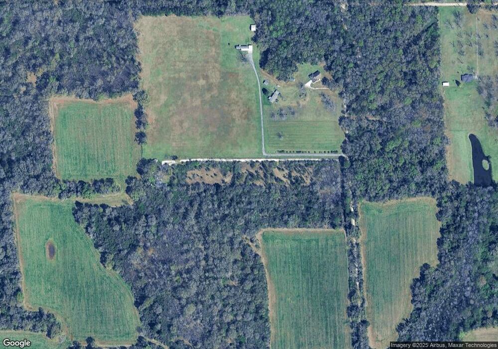
Map
Nearby Homes
- 11920 Ives Ln
- 1734 Trail Side Way
- 1762 Trail Side Way
- 1688 Trail Side Way
- 1716 Trail Side Way
- 1674 Trail Side Way
- 1658 Trail Side Way
- 1717 Plan at Pines of Dawes
- The Kingston Plan at Coxwell Crossing
- 1348 Plan at Pines of Dawes
- 2029 Plan at Pines of Dawes
- 1525 Plan at Pines of Dawes
- 1635-C Plan at Pines of Dawes
- The Avery Plan at Coxwell Crossing
- 1425 Plan at Pines of Dawes
- The Mckenzie Plan at Coxwell Crossing
- 1748 Trail Side Way
- 1352 Sierra Estates Dr
- 10875 Sierra Estates Dr
- 12171 Yancey Glen Dr
- 1424 Calvert Rd W
- 1551 Calvert Rd W
- 0 Culbert Rd Unit 52 0209343
- 0 Culbert Rd Unit 51 0209342
- 11620 Calvert Rd
- 11571 Calvert Rd
- 11561 Calvert Rd
- 11551 Calvert Rd
- 11520 Calvert Rd
- 11511 Calvert Rd
- 11950 Pace Nursery Rd
- 11490 Calvert Rd
- 11540 Calvert Rd
- 11320 Airport Blvd
- 11850 Liberty Cir N
- 11870 Liberty Cir N
- 11860 Liberty Cir N
- 2090 Wolf Branch Dr N
- 11880 Liberty Cir N
- 2104 Wolf Branch Dr N Unit 75