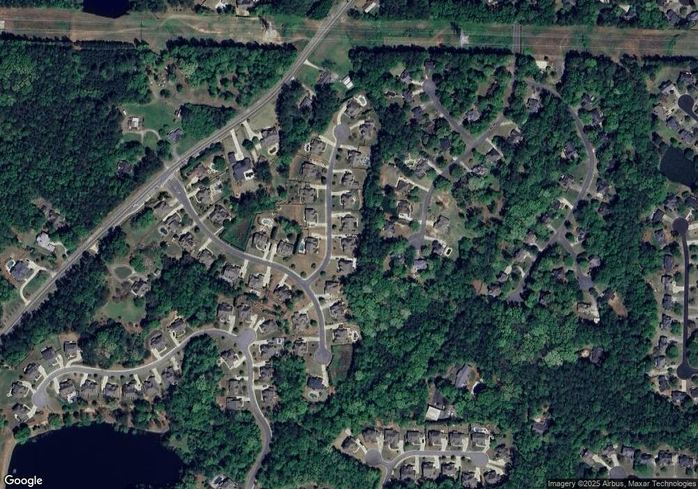
1590 Davidson Farm Ln NW Kennesaw, GA 30152
West Cobb NeighborhoodEstimated Value: $879,669 - $957,000
5
Beds
4
Baths
4,410
Sq Ft
$212/Sq Ft
Est. Value
About This Home
This home is located at 1590 Davidson Farm Ln NW, Kennesaw, GA 30152 and is currently estimated at $935,917, approximately $212 per square foot. 1590 Davidson Farm Ln NW is a home with nearby schools including Bullard Elementary School, Mcclure Middle School, and Kennesaw Mountain High School.
Ownership History
Date
Name
Owned For
Owner Type
Purchase Details
Closed on
Apr 2, 2014
Sold by
Eisenberg Betty
Bought by
Laldin Asher and Laldin Monica
Current Estimated Value
Home Financials for this Owner
Home Financials are based on the most recent Mortgage that was taken out on this home.
Original Mortgage
$347,903
Interest Rate
4.55%
Mortgage Type
New Conventional
Purchase Details
Closed on
Feb 5, 2014
Sold by
D R Horton Inc
Bought by
Laldin Asher and Elsenberg Betty
Home Financials for this Owner
Home Financials are based on the most recent Mortgage that was taken out on this home.
Original Mortgage
$347,903
Interest Rate
4.55%
Mortgage Type
New Conventional
Purchase Details
Closed on
Aug 23, 2012
Sold by
Stratford Homes Llc
Bought by
D R Horton Inc
Create a Home Valuation Report for This Property
The Home Valuation Report is an in-depth analysis detailing your home's value as well as a comparison with similar homes in the area
Home Values in the Area
Average Home Value in this Area
Purchase History
| Date | Buyer | Sale Price | Title Company |
|---|---|---|---|
| Laldin Asher | -- | -- | |
| Laldin Asher | $434,879 | -- | |
| D R Horton Inc | $1,050,000 | -- |
Source: Public Records
Mortgage History
| Date | Status | Borrower | Loan Amount |
|---|---|---|---|
| Previous Owner | Laldin Asher | $347,903 |
Source: Public Records
Tax History Compared to Growth
Tax History
| Year | Tax Paid | Tax Assessment Tax Assessment Total Assessment is a certain percentage of the fair market value that is determined by local assessors to be the total taxable value of land and additions on the property. | Land | Improvement |
|---|---|---|---|---|
| 2025 | $8,173 | $311,032 | $44,000 | $267,032 |
| 2024 | $8,179 | $311,032 | $44,000 | $267,032 |
| 2023 | $7,637 | $311,032 | $44,000 | $267,032 |
| 2022 | $6,638 | $237,876 | $44,000 | $193,876 |
| 2021 | $5,805 | $200,284 | $44,000 | $156,284 |
| 2020 | $5,842 | $201,512 | $44,000 | $157,512 |
| 2019 | $6,116 | $201,512 | $44,000 | $157,512 |
| 2018 | $6,116 | $201,512 | $44,000 | $157,512 |
| 2017 | $5,793 | $201,512 | $44,000 | $157,512 |
| 2016 | $4,837 | $168,256 | $44,000 | $124,256 |
| 2015 | $4,957 | $168,256 | $44,000 | $124,256 |
| 2014 | $4,644 | $156,296 | $0 | $0 |
Source: Public Records
Map
Nearby Homes
- 1415 Sutters Pond Dr NW
- 791 Lapis Trail
- 5611 Meadowstone Walk
- 5627 Meadowstone Walk
- 5623 Meadowstone Walk
- 5619 Meadowstone Walk
- 3621 Sutters Pond Way NW
- 1344 Hamilton Creek Dr NW
- 1135 Weighhouse Place
- 1441 Beaumont Dr NW
- 3873 Paul Samuel Rd NW
- 3173 Encore Cir NW
- 1395 Crestwind Rd NW
- 1442 Crestwind Rd NW
- 1502 Menlo Dr NW
- 2024 Greyfield Dr NW
- 1580 Davidson Farm Ln NW
- 1600 Davidson Farm Ln NW
- 1585 Davidson Farm Ln NW
- 1610 Davidson Farm Ln NW
- 3600 Davidson Farm Dr NW
- 1771 Brittany Chase NW
- 1769 Brittany Chase NW
- 1605 Davidson Farm Ln NW
- 3620 Davidson Farm Dr NW
- 1620 Davidson Farm Ln NW
- 1773 Brittany Chase NW
- 0 Davidson Farm Ln Unit 7132590
- 0 Davidson Farm Ln Unit 7132533
- 0 Davidson Farm Ln Unit 7062097
- 0 Davidson Farm Ln Unit 3221254
- 0 Davidson Farm Ln
- 0 Davidson Farm Dr Unit 7155323
- 0 Davidson Farm Dr Unit 7069918
- 0 Davidson Farm Dr Unit 7034988
- 0 Davidson Farm Dr Unit 3170068
