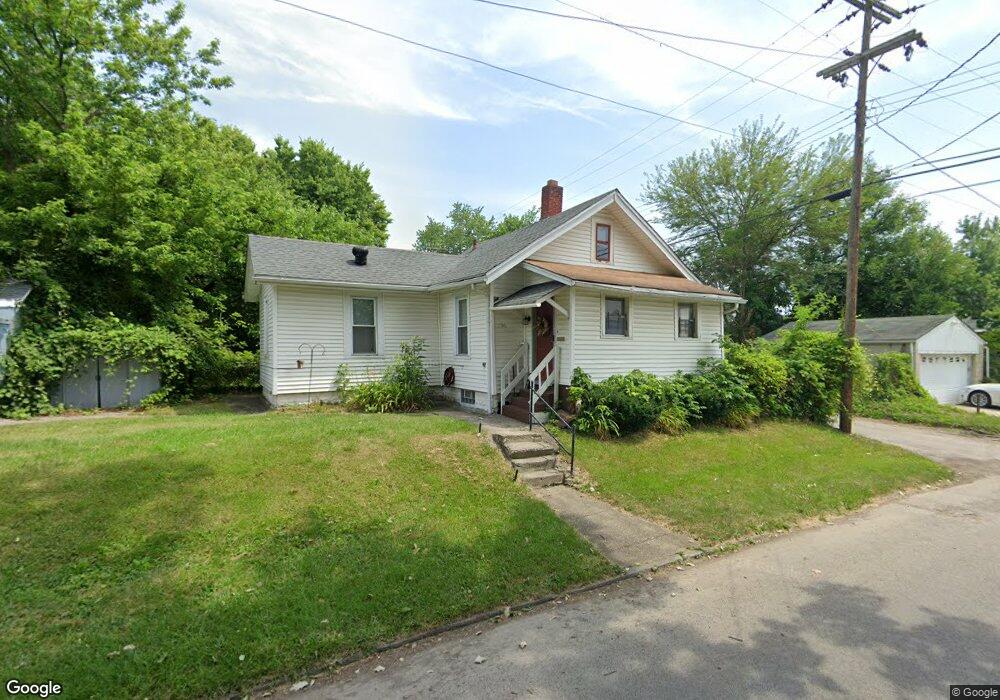
1590 Forest St Columbus, OH 43206
Driving Park NeighborhoodEstimated Value: $86,000 - $126,000
2
Beds
1
Bath
688
Sq Ft
$152/Sq Ft
Est. Value
About This Home
This home is located at 1590 Forest St, Columbus, OH 43206 and is currently estimated at $104,382, approximately $151 per square foot. 1590 Forest St is a home located in Franklin County with nearby schools including Fairwood Alternative Elementary School, South High School, and A+ Arts Academy.
Ownership History
Date
Name
Owned For
Owner Type
Purchase Details
Closed on
Apr 25, 2005
Sold by
Ke Abb Properties Inc
Bought by
Love Phillip
Current Estimated Value
Home Financials for this Owner
Home Financials are based on the most recent Mortgage that was taken out on this home.
Original Mortgage
$42,500
Outstanding Balance
$26,304
Interest Rate
8.9%
Mortgage Type
Fannie Mae Freddie Mac
Estimated Equity
$78,078
Purchase Details
Closed on
Oct 30, 2001
Sold by
Devese Larry
Bought by
Ke Abb Properties Inc
Purchase Details
Closed on
Dec 13, 2000
Sold by
Mckind Edith L
Bought by
Devese Larry
Purchase Details
Closed on
Sep 25, 2000
Sold by
Waugh Carlson H
Bought by
Mckind Edith L
Purchase Details
Closed on
Sep 25, 1985
Bought by
Waugh Carlson H
Create a Home Valuation Report for This Property
The Home Valuation Report is an in-depth analysis detailing your home's value as well as a comparison with similar homes in the area
Home Values in the Area
Average Home Value in this Area
Purchase History
| Date | Buyer | Sale Price | Title Company |
|---|---|---|---|
| Love Phillip | $35,000 | -- | |
| Ke Abb Properties Inc | $25,000 | -- | |
| Devese Larry | $25,600 | -- | |
| Mckind Edith L | -- | -- | |
| Waugh Carlson H | $9,500 | -- |
Source: Public Records
Mortgage History
| Date | Status | Borrower | Loan Amount |
|---|---|---|---|
| Open | Love Phillip | $42,500 |
Source: Public Records
Tax History Compared to Growth
Tax History
| Year | Tax Paid | Tax Assessment Tax Assessment Total Assessment is a certain percentage of the fair market value that is determined by local assessors to be the total taxable value of land and additions on the property. | Land | Improvement |
|---|---|---|---|---|
| 2024 | $2,536 | $29,750 | $9,800 | $19,950 |
| 2023 | $1,571 | $35,455 | $9,800 | $25,655 |
| 2022 | $416 | $8,020 | $2,210 | $5,810 |
| 2021 | $508 | $8,020 | $2,210 | $5,810 |
| 2020 | $417 | $8,020 | $2,210 | $5,810 |
| 2019 | $389 | $6,410 | $1,860 | $4,550 |
| 2018 | $417 | $6,410 | $1,860 | $4,550 |
| 2017 | $440 | $6,410 | $1,860 | $4,550 |
| 2016 | $492 | $7,430 | $2,770 | $4,660 |
| 2015 | $447 | $7,430 | $2,770 | $4,660 |
| 2014 | $448 | $7,430 | $2,770 | $4,660 |
| 2013 | $260 | $8,750 | $3,255 | $5,495 |
Source: Public Records
Map
Nearby Homes
- 1052 Geers Ave
- 971 Fairwood Ave
- 941 Seymour Ave
- 1656-1658 Forest St
- 1109 Fairwood Ave
- 899 Geers Ave
- 1095 Berkeley Rd
- 1001 Lilley Ave
- 1468 E Whittier St
- 1614 E Whittier St Unit 1614/1616
- 982 Kelton Ave
- 1485 E Whittier St
- 1634 E Whittier St
- 1066 Kelton Ave
- 959 Kelton Ave
- 1208 Seymour Ave Unit 210
- 1417 E Whittier St
- 831 Lilley Ave Unit 833
- 894 Berkeley Rd
- 1671-1673 E Whittier St
- 1004 Seymour Ave
- 998 Seymour Ave
- 1018 Seymour Ave
- 990 Seymour Ave
- 1022 Seymour Ave
- 1007 Fairwood Ave
- 1558 Seymour Ave
- 1003 Fairwood Ave
- 1028 Seymour Ave
- 1023 Fairwood Ave
- 999 Fairwood Ave
- 986 Seymour Ave
- 1001 Seymour Ave
- 1565 Forest St
- 1029 Fairwood Ave
- 995 Seymour Ave
- 991 Seymour Ave
- 1033 Fairwood Ave
- 980 Seymour Ave
- 1558 Forest St