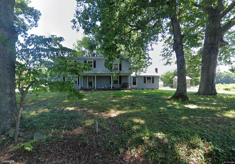
15901 Monrovia Rd Mineral, VA 23117
Margo NeighborhoodEstimated Value: $491,230 - $501,000
4
Beds
2
Baths
2,634
Sq Ft
$188/Sq Ft
Est. Value
About This Home
This home is located at 15901 Monrovia Rd, Mineral, VA 23117 and is currently estimated at $496,115, approximately $188 per square foot. 15901 Monrovia Rd is a home located in Spotsylvania County with nearby schools including Livingston Elementary School, Post Oak Middle School, and Spotsylvania High School.
Ownership History
Date
Name
Owned For
Owner Type
Purchase Details
Closed on
May 3, 2023
Sold by
Rames Edgar C
Bought by
Ward Debbie C
Current Estimated Value
Home Financials for this Owner
Home Financials are based on the most recent Mortgage that was taken out on this home.
Original Mortgage
$408,500
Outstanding Balance
$396,996
Interest Rate
6.32%
Mortgage Type
New Conventional
Estimated Equity
$99,119
Create a Home Valuation Report for This Property
The Home Valuation Report is an in-depth analysis detailing your home's value as well as a comparison with similar homes in the area
Home Values in the Area
Average Home Value in this Area
Purchase History
| Date | Buyer | Sale Price | Title Company |
|---|---|---|---|
| Ward Debbie C | $430,000 | Fidelity National Title |
Source: Public Records
Mortgage History
| Date | Status | Borrower | Loan Amount |
|---|---|---|---|
| Open | Ward Debbie C | $408,500 |
Source: Public Records
Tax History Compared to Growth
Tax History
| Year | Tax Paid | Tax Assessment Tax Assessment Total Assessment is a certain percentage of the fair market value that is determined by local assessors to be the total taxable value of land and additions on the property. | Land | Improvement |
|---|---|---|---|---|
| 2025 | $1,701 | $368,800 | $196,400 | $172,400 |
| 2024 | $1,701 | $368,800 | $196,400 | $172,400 |
| 2023 | $1,601 | $324,400 | $171,200 | $153,200 |
| 2022 | $1,530 | $324,400 | $171,200 | $153,200 |
| 2021 | $1,474 | $299,100 | $171,200 | $127,900 |
| 2020 | $1,474 | $299,100 | $171,200 | $127,900 |
| 2019 | $1,502 | $294,200 | $171,200 | $123,000 |
| 2018 | $1,477 | $294,200 | $171,200 | $123,000 |
| 2017 | $1,469 | $289,800 | $171,200 | $118,600 |
| 2016 | $1,469 | $289,800 | $171,200 | $118,600 |
| 2015 | -- | $285,800 | $171,200 | $114,600 |
| 2014 | -- | $285,800 | $171,200 | $114,600 |
Source: Public Records
Map
Nearby Homes
- 6202 Ruth Ln
- 5727 Private Rd
- 16014 Carrington Ct
- 16016 Carrington Ct
- 5804 Dogwood Tree Ln
- 15506 Heth Dr
- 6215 Connie Ln
- 15507 Heth Dr
- 15515 Chestnut Tree Ct
- 5519 Bazzanella Dr
- 6121 Belmont Rd
- 5501 Oak Ct
- 6602 Morning Dew Dr
- 6108 Bills Rd
- 6206 Eds Rd
- 6200 Bills Rd
- 6202 Bills Rd
- Lot 3 Scotts Knoll Scotts Knoll Landing
- 573 Sunset Loop
- 6028 Lost Cove Dr
- 16006 Monrovia Rd
- 16010 Monrovia Rd
- 16000 Monrovia Rd
- 16020 Monrovia Rd
- 0 Lands End Dr Unit 1007989606
- 0 Lands End Dr Unit 1003580726
- 0 Lands End Dr Unit 1007801440
- 0 Lands End Dr Unit 1001535632
- 0 Lands End Dr Unit 1000235906
- 0 Lands End Dr Unit 1000142181
- 0 Lands End Dr Unit 1000142143
- 0 Lands End Dr Unit 1007237554
- 0 Lands End Dr Unit 1007229090
- 0 Lands End Dr Unit 1007203710
- 0 Lands End Dr Unit 1007144870
- 0 Lands End Dr Unit 1007067476
- 0 Lands End Dr Unit 1007038604
- 0 Lands End Dr Unit 1006951198
- 0 Lands End Dr Unit 1004273823
- 0 Lands End Dr Unit 1002408406