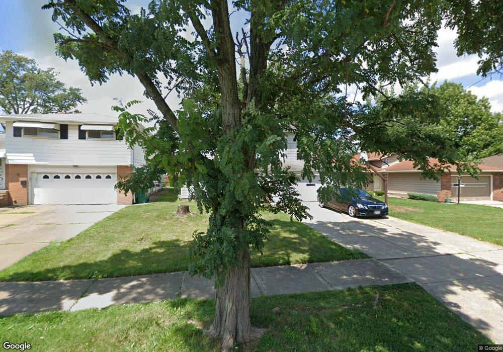
15905 Dunbury Dr Maple Heights, OH 44137
Estimated Value: $164,000 - $207,000
4
Beds
3
Baths
1,576
Sq Ft
$114/Sq Ft
Est. Value
About This Home
This home is located at 15905 Dunbury Dr, Maple Heights, OH 44137 and is currently estimated at $180,344, approximately $114 per square foot. 15905 Dunbury Dr is a home located in Cuyahoga County with nearby schools including Abraham Lincoln Elementary School, Rockside/ J.F. Kennedy School, and Barack Obama School.
Ownership History
Date
Name
Owned For
Owner Type
Purchase Details
Closed on
Aug 7, 2018
Sold by
Pinkard Valencia R and Pinkard Leo
Bought by
Pinkard Lakenya and Pinkard Lakisha
Current Estimated Value
Purchase Details
Closed on
Aug 5, 2018
Sold by
Smith Leo
Bought by
Pinkard Lakenya and Pinkard Lakisha
Purchase Details
Closed on
Jul 14, 1993
Sold by
Donay Donald T
Bought by
Pinkard Leo
Purchase Details
Closed on
Jun 16, 1978
Sold by
Hallal Jeannie A
Bought by
Donay Donald T
Purchase Details
Closed on
Jul 20, 1976
Sold by
Hallal David W and Hallal Jeannie A
Bought by
Hallal Jeannie A
Purchase Details
Closed on
Jan 1, 1975
Bought by
Hallal David W and Hallal Jeannie A
Create a Home Valuation Report for This Property
The Home Valuation Report is an in-depth analysis detailing your home's value as well as a comparison with similar homes in the area
Home Values in the Area
Average Home Value in this Area
Purchase History
| Date | Buyer | Sale Price | Title Company |
|---|---|---|---|
| Pinkard Lakenya | -- | None Available | |
| Pinkard Lakenya | -- | None Available | |
| Pinkard Lakenya | -- | None Available | |
| Pinkard Leo | $95,900 | -- | |
| Donay Donald T | $61,500 | -- | |
| Hallal Jeannie A | -- | -- | |
| Hallal David W | -- | -- |
Source: Public Records
Tax History Compared to Growth
Tax History
| Year | Tax Paid | Tax Assessment Tax Assessment Total Assessment is a certain percentage of the fair market value that is determined by local assessors to be the total taxable value of land and additions on the property. | Land | Improvement |
|---|---|---|---|---|
| 2024 | $4,252 | $48,230 | $9,450 | $38,780 |
| 2023 | $3,715 | $36,720 | $6,440 | $30,280 |
| 2022 | $3,785 | $36,720 | $6,440 | $30,280 |
| 2021 | $4,052 | $36,720 | $6,440 | $30,280 |
| 2020 | $3,678 | $30,100 | $5,290 | $24,820 |
| 2019 | $3,665 | $86,000 | $15,100 | $70,900 |
| 2018 | $3,502 | $30,100 | $5,290 | $24,820 |
| 2017 | $3,595 | $29,720 | $4,660 | $25,060 |
| 2016 | $3,477 | $29,720 | $4,660 | $25,060 |
| 2015 | $3,325 | $29,720 | $4,660 | $25,060 |
| 2014 | $3,325 | $30,630 | $4,800 | $25,830 |
Source: Public Records
Map
Nearby Homes
- 15809 Dunbury Dr
- 16116 Rockside Rd
- 15701 Walvern Blvd
- 15617 Rockside Rd
- 15803 Maplewood Ave
- 16225 Edgewood Ct
- 15809 Shirley Ave
- 15717 Shirley Ave
- 15800 Northwood Ave
- 16001 Northwood Ave
- 6030 Dunham Rd
- 122 Bayberry Ln
- 15708 Rowena Ave
- 14917 Summit Ave
- 14951 Carol Dr
- 16005 Mendota Ave
- 14916 Summit Ave
- 552 Turney Rd Unit C
- 552 Turney Rd Unit a
- 14775 Lisa Dr
- 15901 Dunbury Dr
- 15909 Dunbury Dr
- 15817 Dunbury Dr
- 15913 Dunbury Dr
- 15904 Ramage Ave
- 15908 Ramage Ave
- 15917 Dunbury Dr
- 15900 Ramage Ave
- 15912 Ramage Ave
- 15816 Ramage Ave
- 15904 Dunbury Dr
- 15900 Dunbury Dr
- 16001 Dunbury Dr
- 15908 Dunbury Dr
- 15916 Ramage Ave
- 15812 Ramage Ave
- 15816 Dunbury Dr
- 15912 Dunbury Dr
- 16000 Ramage Ave
- 15812 Dunbury Dr