15908 Cameron Rd Kearney, MO 64060
Estimated Value: $466,000 - $631,000
2
Beds
2
Baths
2,290
Sq Ft
$249/Sq Ft
Est. Value
About This Home
This home is located at 15908 Cameron Rd, Kearney, MO 64060 and is currently estimated at $570,951, approximately $249 per square foot. 15908 Cameron Rd is a home located in Clay County with nearby schools including Excelsior Springs High School.
Ownership History
Date
Name
Owned For
Owner Type
Purchase Details
Closed on
Jul 18, 2011
Sold by
Head Dorothy J and Head Gilbert D
Bought by
Overbey Jeffrey S and Overbey Kimberly J
Current Estimated Value
Home Financials for this Owner
Home Financials are based on the most recent Mortgage that was taken out on this home.
Original Mortgage
$256,000
Outstanding Balance
$176,204
Interest Rate
4.52%
Mortgage Type
Future Advance Clause Open End Mortgage
Estimated Equity
$394,747
Purchase Details
Closed on
Feb 9, 2000
Sold by
Head Gilbert D and Head Dorothy J
Bought by
Head Dorothy J and Dorothy J Head Revocable Trust
Create a Home Valuation Report for This Property
The Home Valuation Report is an in-depth analysis detailing your home's value as well as a comparison with similar homes in the area
Purchase History
| Date | Buyer | Sale Price | Title Company |
|---|---|---|---|
| Overbey Jeffrey S | -- | Chicago Title | |
| Head Dorothy J | -- | -- |
Source: Public Records
Mortgage History
| Date | Status | Borrower | Loan Amount |
|---|---|---|---|
| Open | Overbey Jeffrey S | $256,000 |
Source: Public Records
Tax History
| Year | Tax Paid | Tax Assessment Tax Assessment Total Assessment is a certain percentage of the fair market value that is determined by local assessors to be the total taxable value of land and additions on the property. | Land | Improvement |
|---|---|---|---|---|
| 2025 | $3,350 | $55,310 | -- | -- |
| 2024 | $3,350 | $48,340 | -- | -- |
| 2023 | $3,340 | $48,340 | $0 | $0 |
| 2022 | $2,855 | $41,100 | $0 | $0 |
| 2021 | $2,804 | $42,902 | $11,324 | $31,578 |
| 2020 | $2,747 | $38,850 | $0 | $0 |
| 2019 | $2,731 | $38,850 | $0 | $0 |
Source: Public Records
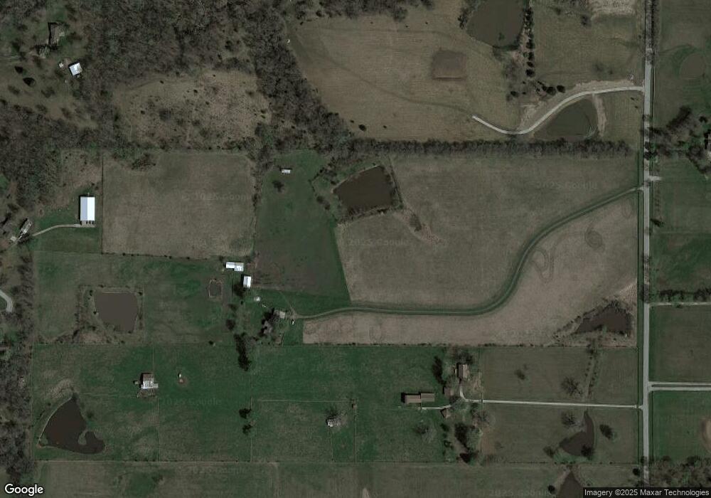
Map
Nearby Homes
- 22223 NE 159th St
- 0 Meadow Ln
- 21619 NE 150th St
- 26626 NE 162nd St
- 14001 Cameron Rd
- 1210 E 15th St
- 1207 E 15th St
- 13807 Cameron Rd
- 21421 Jesse James Farm Rd
- 1300 Melissa Ct
- 1818 Lauren Ln
- 1102 Melody Ct
- 905 Susan St
- 1307 Stonecrest Dr
- 201 S Marimack Dr
- 1003 Madelyn Dr
- 1209 Noah's Ln
- 1202 Noah's Ln
- 1204 Noah's Ln
- 623 E 13th St
- 15810 Cameron Rd
- 15911 Oakmont Place
- 15820 Oakmont Place
- 15816 Oakmont Place
- 15921 Oakmont Place
- 16021 Marcrest Dr
- 16021 Marcrest Dr
- 16001 Marcrest Dr
- 15811 Oakmont Cir
- 22419 NE 159th St
- 16025 Marcrest Dr
- 22418 NE 159th St
- 15824 Oakmont Cir
- 22624 State Route 92
- 22624 State Route 92
- 16002 Marcrest Dr
- 16026 Cameron Rd
- 15618 Cameron Rd
- 15810 Oakmont Cir
- 16001 Cameron Rd
Your Personal Tour Guide
Ask me questions while you tour the home.