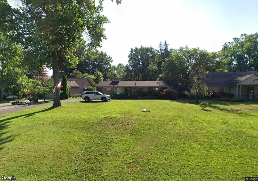
15926 Merriman Rd Livonia, MI 48154
Estimated Value: $281,000 - $382,000
3
Beds
1
Bath
1,607
Sq Ft
$201/Sq Ft
Est. Value
About This Home
This home is located at 15926 Merriman Rd, Livonia, MI 48154 and is currently estimated at $323,176, approximately $201 per square foot. 15926 Merriman Rd is a home located in Wayne County with nearby schools including Riley Upper Elementary School, Buchanan Elementary School, and Holmes Middle School.
Ownership History
Date
Name
Owned For
Owner Type
Purchase Details
Closed on
Sep 7, 2024
Sold by
Kukuruga Mark A and Kukuruga Debra
Bought by
Merriman Homestead Llc
Current Estimated Value
Purchase Details
Closed on
Feb 11, 2019
Sold by
Kukuruga Debra and Shensky Mary Ann
Bought by
Kukuruga Debra and Kukuruga Mark A
Purchase Details
Closed on
Jul 25, 2018
Sold by
Kukumunga Debra
Bought by
Kukuruga Debra
Purchase Details
Closed on
Dec 1, 2012
Sold by
Shensky Mary Ann and Kukuruga Debra
Bought by
Mary Ann Shensky Living Trust
Create a Home Valuation Report for This Property
The Home Valuation Report is an in-depth analysis detailing your home's value as well as a comparison with similar homes in the area
Home Values in the Area
Average Home Value in this Area
Purchase History
| Date | Buyer | Sale Price | Title Company |
|---|---|---|---|
| Merriman Homestead Llc | -- | None Listed On Document | |
| Merriman Homestead Llc | -- | None Listed On Document | |
| Kukuruga Debra | -- | None Available | |
| Kukuruga Debra | -- | None Available | |
| Mary Ann Shensky Living Trust | -- | None Available |
Source: Public Records
Tax History Compared to Growth
Tax History
| Year | Tax Paid | Tax Assessment Tax Assessment Total Assessment is a certain percentage of the fair market value that is determined by local assessors to be the total taxable value of land and additions on the property. | Land | Improvement |
|---|---|---|---|---|
| 2025 | $2,975 | $151,700 | $0 | $0 |
| 2024 | $2,975 | $140,400 | $0 | $0 |
| 2023 | $2,829 | $130,700 | $0 | $0 |
| 2022 | $5,088 | $116,700 | $0 | $0 |
| 2021 | $4,937 | $111,400 | $0 | $0 |
| 2019 | $4,750 | $102,500 | $0 | $0 |
| 2018 | $2,341 | $91,200 | $0 | $0 |
| 2017 | $3,885 | $82,000 | $0 | $0 |
| 2016 | $3,881 | $80,000 | $0 | $0 |
| 2015 | $6,538 | $71,370 | $0 | $0 |
| 2012 | -- | $65,500 | $19,690 | $45,810 |
Source: Public Records
Map
Nearby Homes
- 30900 Wentworth St
- 31005 Roycroft St
- 15345 Bainbridge St
- 31069 Munger Dr
- 15040 Berwick St
- 15075 Hubbard St Unit 5
- 30115 Munger Dr
- 14592 Melrose St
- 14879 Fairfield St
- 31221 Lyndon St
- 32136 Lyndon St
- 15958 Shadyside Dr
- 32525 6 Mile Rd
- 15873 Shadyside Dr
- 15509 Shadyside St
- 14327 Arden St
- 29945 6 Mile Rd
- 14962 Beatrice St
- 29831 Oakley St
- 31366 Mayville St
- 15960 Merriman Rd
- 15900 Merriman Rd
- 15978 Merriman Rd
- 15820 Merriman Rd
- 15990 Merriman Rd
- 31329 Wentworth St
- 15903 Merriman Rd
- 31340 Rayburn St
- 15929 Merriman Rd
- 31301 Wentworth St
- 15849 Merriman Rd Unit Bldg-Unit
- 15849 Merriman Rd
- 31131 Wentworth St
- 15991 Merriman Rd
- 15815 Merriman Rd
- 31150 Rayburn St
- 31355 Rayburn St
- 31365 Rayburn St
- 15809 Merriman Rd
- 31350 Wentworth St