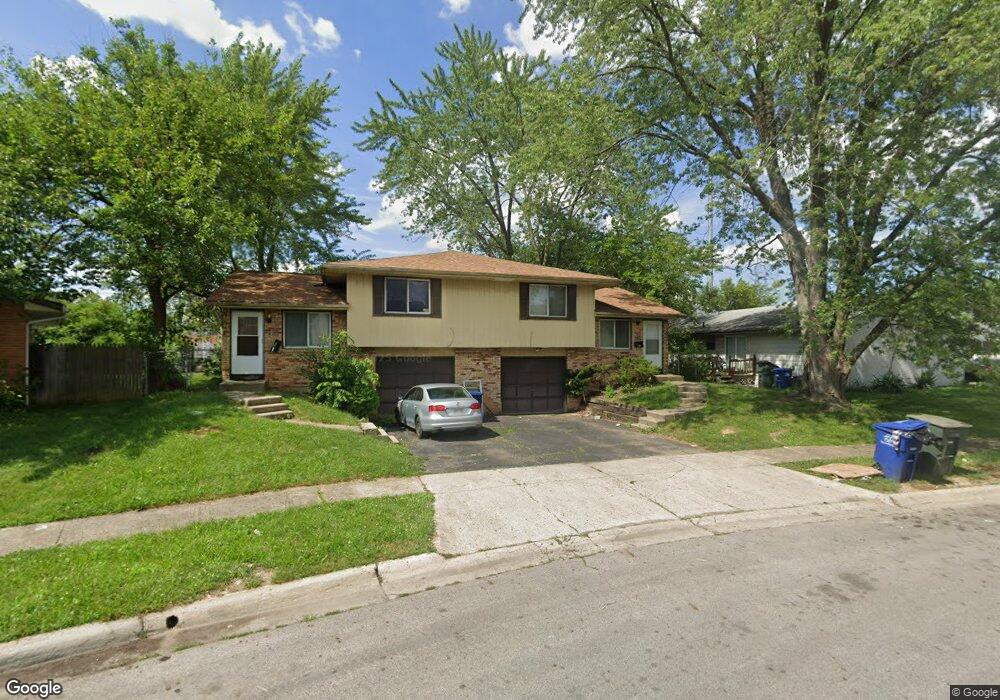
1594 Nestling Dr Unit 596 Columbus, OH 43229
Forest Park East NeighborhoodEstimated Value: $280,657 - $323,000
4
Beds
2
Baths
1,632
Sq Ft
$186/Sq Ft
Est. Value
About This Home
This home is located at 1594 Nestling Dr Unit 596, Columbus, OH 43229 and is currently estimated at $303,914, approximately $186 per square foot. 1594 Nestling Dr Unit 596 is a home located in Franklin County with nearby schools including Parkmoor Elementary School, Woodward Park Middle School, and Northland High School.
Ownership History
Date
Name
Owned For
Owner Type
Purchase Details
Closed on
Mar 14, 2002
Sold by
Alejandro Alex and Alejandro Melissa L
Bought by
Wahab Mohammed S
Current Estimated Value
Purchase Details
Closed on
May 25, 1994
Bought by
Alejandro Alex
Purchase Details
Closed on
Oct 27, 1989
Purchase Details
Closed on
Apr 1, 1986
Create a Home Valuation Report for This Property
The Home Valuation Report is an in-depth analysis detailing your home's value as well as a comparison with similar homes in the area
Home Values in the Area
Average Home Value in this Area
Purchase History
| Date | Buyer | Sale Price | Title Company |
|---|---|---|---|
| Wahab Mohammed S | $124,000 | -- | |
| Alejandro Alex | $85,900 | -- | |
| -- | $92,000 | -- | |
| -- | $79,500 | -- |
Source: Public Records
Tax History Compared to Growth
Tax History
| Year | Tax Paid | Tax Assessment Tax Assessment Total Assessment is a certain percentage of the fair market value that is determined by local assessors to be the total taxable value of land and additions on the property. | Land | Improvement |
|---|---|---|---|---|
| 2024 | $3,495 | $76,270 | $21,320 | $54,950 |
| 2023 | $3,452 | $76,265 | $21,315 | $54,950 |
| 2022 | $2,419 | $45,510 | $13,690 | $31,820 |
| 2021 | $2,423 | $45,510 | $13,690 | $31,820 |
| 2020 | $2,426 | $45,510 | $13,690 | $31,820 |
| 2019 | $2,257 | $36,300 | $10,960 | $25,340 |
| 2018 | $2,436 | $36,300 | $10,960 | $25,340 |
| 2017 | $2,567 | $36,300 | $10,960 | $25,340 |
| 2016 | $2,877 | $42,350 | $10,290 | $32,060 |
| 2015 | $2,619 | $42,350 | $10,290 | $32,060 |
| 2014 | $2,626 | $42,350 | $10,290 | $32,060 |
| 2013 | $1,295 | $42,350 | $10,290 | $32,060 |
Source: Public Records
Map
Nearby Homes
- 4923 Karl Rd Unit 4925
- 4866 Woodthrush Way
- 5004 Julie Place
- 5022 Sienna Ln
- 4816 Bourke Rd
- 4800 Bourke Rd
- 4815 Bourke Rd
- 4761 Colonel Perry Dr
- 1414 Alvina Dr
- 1385 Thurell Rd
- 1704 Riverbirch Dr
- 1744 Riverbirch Dr
- 4840 Almont Dr
- 4904 Almont Dr
- 5124 Northcliff Loop W
- 4714 Ascot Dr
- 4983 Almont Dr
- 1116 Tulsa Dr
- 4849 Heatherton Dr
- 1266 Pershing Dr
- 1604 Nestling Dr Unit 606
- 1604-1606 Nestling Dr
- 4889 Songbird Dr Unit 891
- 4889 Songbird Dr Unit 4889-891
- 4881 Songbird Dr Unit 883
- 4871 Songbird Dr Unit 873
- 1620 Nestling Dr Unit 622
- 1620 Nestling Dr Unit 2
- 1628 Nestling Dr
- 1634 Nestling Dr
- 4863 Songbird Dr Unit 865
- 1638 Nestling Dr
- 4909-4911 Karl Rd Unit 11
- 4909 Karl Rd Unit 911
- 4909 Karl Rd Unit 11
- 4851 Songbird Dr Unit 853
- 4917-4919 Karl Rd Unit 19
- 4917 Karl Rd Unit 919
- 4917 Karl Rd Unit 19
- 4923-4925 Karl Rd Unit 25