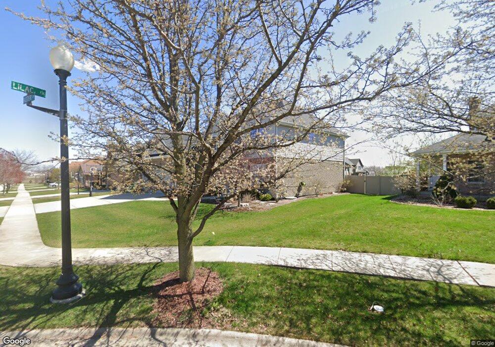
15941 Aster Dr Lockport, IL 60441
Estimated Value: $622,332 - $674,000
4
Beds
3
Baths
3,300
Sq Ft
$197/Sq Ft
Est. Value
About This Home
This home is located at 15941 Aster Dr, Lockport, IL 60441 and is currently estimated at $648,583, approximately $196 per square foot. 15941 Aster Dr is a home located in Will County with nearby schools including William J. Butler, Hadley Middle School, and Homer Jr High School.
Ownership History
Date
Name
Owned For
Owner Type
Purchase Details
Closed on
Apr 19, 2017
Sold by
Advantage Building & Construction Corp
Bought by
Ponterio Peter E and Ponterio Jodi L
Current Estimated Value
Home Financials for this Owner
Home Financials are based on the most recent Mortgage that was taken out on this home.
Original Mortgage
$364,910
Outstanding Balance
$301,898
Interest Rate
4%
Mortgage Type
New Conventional
Estimated Equity
$346,685
Purchase Details
Closed on
Feb 22, 2016
Sold by
Marquette Bank
Bought by
Advantage Building & Construction Corp
Purchase Details
Closed on
Nov 18, 2009
Sold by
Johnson Eileen
Bought by
Marquette Bank and Trust #19141
Purchase Details
Closed on
Nov 16, 2009
Sold by
Standard Bank & Trust Company
Bought by
Johnson Eileen
Create a Home Valuation Report for This Property
The Home Valuation Report is an in-depth analysis detailing your home's value as well as a comparison with similar homes in the area
Home Values in the Area
Average Home Value in this Area
Purchase History
| Date | Buyer | Sale Price | Title Company |
|---|---|---|---|
| Ponterio Peter E | $401,000 | Attorney | |
| Advantage Building & Construction Corp | -- | None Available | |
| Marquette Bank | -- | Greater Illinois Title Compa | |
| Johnson Eileen | $260,000 | Greater Illinois Title Compa |
Source: Public Records
Mortgage History
| Date | Status | Borrower | Loan Amount |
|---|---|---|---|
| Open | Ponterio Peter E | $364,910 |
Source: Public Records
Tax History
| Year | Tax Paid | Tax Assessment Tax Assessment Total Assessment is a certain percentage of the fair market value that is determined by local assessors to be the total taxable value of land and additions on the property. | Land | Improvement |
|---|---|---|---|---|
| 2024 | $16,490 | $196,297 | $30,744 | $165,553 |
| 2023 | $16,490 | $177,934 | $27,868 | $150,066 |
| 2022 | $15,021 | $166,139 | $26,021 | $140,118 |
| 2021 | $14,356 | $157,403 | $24,653 | $132,750 |
| 2020 | $14,310 | $151,612 | $23,746 | $127,866 |
| 2019 | $13,779 | $145,356 | $22,844 | $122,512 |
| 2018 | $13,189 | $137,261 | $22,582 | $114,679 |
| 2017 | $13,143 | $133,419 | $21,950 | $111,469 |
| 2016 | $2,195 | $21,218 | $21,218 | $0 |
| 2015 | $935 | $20,422 | $20,422 | $0 |
| 2014 | $935 | $8,700 | $8,700 | $0 |
| 2013 | $935 | $8,700 | $8,700 | $0 |
Source: Public Records
Map
Nearby Homes
- 15911 Crimson Dr
- 15903 Crimson Dr
- 17040 Cheyenne Ct
- 16805 S Morel St
- 16719 S Sunset Ridge Ct
- 16703 S Sunset Ridge Ct
- 16701 S Sunset Ridge Ct
- Vacant Lot W 167th St
- 16007 W Bruce Rd
- 17259 Long Bow Dr
- 16646 S Sun Meadow Dr
- 14847 S Hillside Dr
- 14845 S Hillside Dr
- 14805 S Hillside Dr
- 14849 S Hillside Dr
- 14801 S Hillside Dr
- 17656 S Gilbert Dr
- 16436 Wheatgrass St
- 15880 W Bruce Rd
- 15455 W Amelia Cir
Your Personal Tour Guide
Ask me questions while you tour the home.