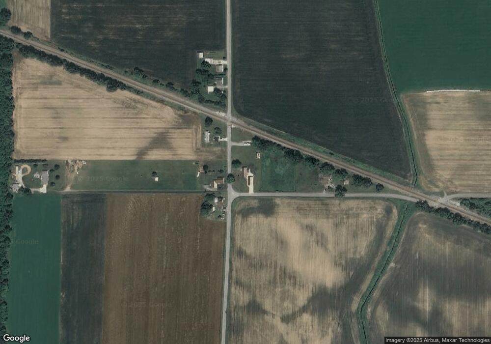
15944 Pear Rd Plymouth, IN 46563
Estimated Value: $180,000 - $327,000
3
Beds
2
Baths
1,764
Sq Ft
$144/Sq Ft
Est. Value
About This Home
This home is located at 15944 Pear Rd, Plymouth, IN 46563 and is currently estimated at $254,859, approximately $144 per square foot. 15944 Pear Rd is a home located in Marshall County with nearby schools including Culver Elementary School and Culver Community Middle/High School.
Ownership History
Date
Name
Owned For
Owner Type
Purchase Details
Closed on
Nov 22, 2006
Sold by
Hanselman Forrest A and Hanselman Ruth A
Bought by
Hanselman Walter A
Current Estimated Value
Purchase Details
Closed on
Nov 8, 2006
Sold by
Hanselman Forrest A and Hanselman Ruth A
Bought by
Hanselman Walter A
Purchase Details
Closed on
Dec 9, 2005
Sold by
Hanselman Albert E and Hanselman Joyce L
Bought by
Hanselman Forrest A and Hanselman Ruth A
Create a Home Valuation Report for This Property
The Home Valuation Report is an in-depth analysis detailing your home's value as well as a comparison with similar homes in the area
Home Values in the Area
Average Home Value in this Area
Purchase History
| Date | Buyer | Sale Price | Title Company |
|---|---|---|---|
| Hanselman Walter A | -- | None Available | |
| Hanselman Walter A | -- | None Available | |
| Hanselman Forrest A | -- | None Available |
Source: Public Records
Tax History Compared to Growth
Tax History
| Year | Tax Paid | Tax Assessment Tax Assessment Total Assessment is a certain percentage of the fair market value that is determined by local assessors to be the total taxable value of land and additions on the property. | Land | Improvement |
|---|---|---|---|---|
| 2024 | $937 | $188,800 | $49,400 | $139,400 |
| 2022 | $937 | $185,300 | $47,500 | $137,800 |
| 2021 | $793 | $137,800 | $41,900 | $95,900 |
| 2020 | $713 | $126,800 | $38,100 | $88,700 |
| 2019 | $684 | $123,500 | $36,700 | $86,800 |
| 2018 | $648 | $123,000 | $36,300 | $86,700 |
| 2017 | $536 | $122,400 | $36,700 | $85,700 |
| 2016 | $546 | $124,600 | $37,000 | $87,600 |
| 2014 | $540 | $125,300 | $36,800 | $88,500 |
Source: Public Records
Map
Nearby Homes
- 16930 16c Rd
- TBD Redwood Rd
- 14990 Redwood Rd
- 686 E Shore Dr
- 17981 14b Rd
- 19119 Queen Rd
- 12628 Peach Rd
- 18347 14th Rd
- 826 College Ave
- 404 Gold Leaf Ln
- 603 Pearl St
- 19052 15th Rd
- TBD Menominee Ln
- TBD 2 Menominee Ln
- 15516 Menominee Dr
- 15560 Menominee Dr
- TBD Mill Pond Trail
- 15871 18th Rd
- 14415 Lawrence Lake Dr
- 215 E Hawkins Ct
