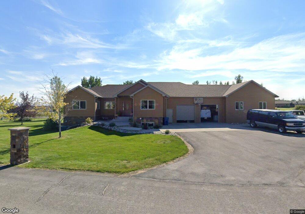
1595 Pheasant Brook Dr Laurel, MT 59044
Estimated Value: $680,000 - $829,864
About This Home
This home is located at 1595 Pheasant Brook Dr, Laurel, MT 59044 and is currently estimated at $765,466, approximately $403 per square foot. 1595 Pheasant Brook Dr is a home with nearby schools including Fred W. Graff School, West School, and Laurel Middle School.
Ownership History
We collect this data history from publicly available records. To have your information removed, we recommend requesting removal directly through your county’s website.
Purchase Details
Home Financials for this Owner
Home Financials are based on the most recent Mortgage that was taken out on this home.Purchase Details
Home Financials for this Owner
Home Financials are based on the most recent Mortgage that was taken out on this home.Purchase Details
Home Financials for this Owner
Home Financials are based on the most recent Mortgage that was taken out on this home.Home Values in the Area
Average Home Value in this Area
Purchase History
We collect this data history from publicly available records. To have your information removed, we recommend requesting removal directly through your county’s website.
| Date | Buyer | Sale Price | Title Company |
|---|---|---|---|
| -- | Stewart Title Of Billings Ll | ||
| -- | None Available | ||
| -- | None Available | ||
| -- | Stewart Title Of Billings | ||
| -- | Stewart Title Of Billings |
Mortgage History
We collect this data history from publicly available records. To have your information removed, we recommend requesting removal directly through your county’s website.
| Date | Status | Borrower | Loan Amount |
|---|---|---|---|
| Open | $140,600 | ||
| Closed | $135,000 | ||
| Closed | $100,000 |
Tax History
We collect this data history from publicly available records. To have your information removed, we recommend requesting removal directly through your county’s website.
| Year | Tax Paid | Tax Assessment Tax Assessment Total Assessment is a certain percentage of the fair market value that is determined by local assessors to be the total taxable value of land and additions on the property. | Land | Improvement |
|---|---|---|---|---|
| 2025 | $4,525 | $774,600 | $110,292 | $664,308 |
| 2024 | $4,525 | $631,100 | $99,224 | $531,876 |
| 2023 | $4,531 | $631,100 | $99,224 | $531,876 |
| 2022 | $3,298 | $510,900 | $0 | $0 |
| 2021 | $3,831 | $510,900 | $0 | $0 |
| 2020 | $3,776 | $492,500 | $0 | $0 |
| 2019 | $3,632 | $492,500 | $0 | $0 |
| 2018 | $3,781 | $441,700 | $0 | $0 |
| 2017 | $2,892 | $441,700 | $0 | $0 |
| 2016 | $3,692 | $465,700 | $0 | $0 |
| 2015 | $3,572 | $465,700 | $0 | $0 |
| 2014 | $2,945 | $199,227 | $0 | $0 |
Map
- 1665 Wild Lupine Ln
- 1650 Wild Lupine Ln
- 2614 Shadow Wood Dr
- 2408 E Maryland Ln
- 975 Rockfork Cir
- 1545 Green Bluff Ave
- 1110 Fir Ave
- 723 Juniper Ave
- 1115 Sunhaven Dr
- 406 Roundhouse Dr
- 506 Date Ave
- 80th 74th St W
- 1003 Montana Ave
- 1001 Montana Ave
- 120 E Maryland Ln
- 1034 1st Ave
- 119 W 9th St
- 218 W Maryland Ln
- 106 E 6th St
- TBD Alfalfa Drive (Lot 1 Blk 6)
- 1600 Pheasant Brook Dr
- 1590 Pheasant Brook Dr
- 1705 Wild Lupine Ln
- 1725 Wild Lupine Ln
- 2250 Morning Dove Dr
- 2270 Morning Dove Dr
- 1755 Wild Lupine Ln
- 1700 Wild Lupine Ln
- 2120 Quail Run Dr
- 2230 Morning Dove Dr
- 2120 Quail Run
- 2125 Quail Run
- 1760 Wild Lupine Ln
- 2265 Morning Dove Dr
- 2245 Morning Dove Dr
- 1645 Wild Lupine Ln
- 1825 Scarlet Sage Ln
- 2225 Morning Dove Dr
- 1670 Pheasant Brook Dr
- 2200 Morning Dove Dr
Ask me questions while you tour the home.