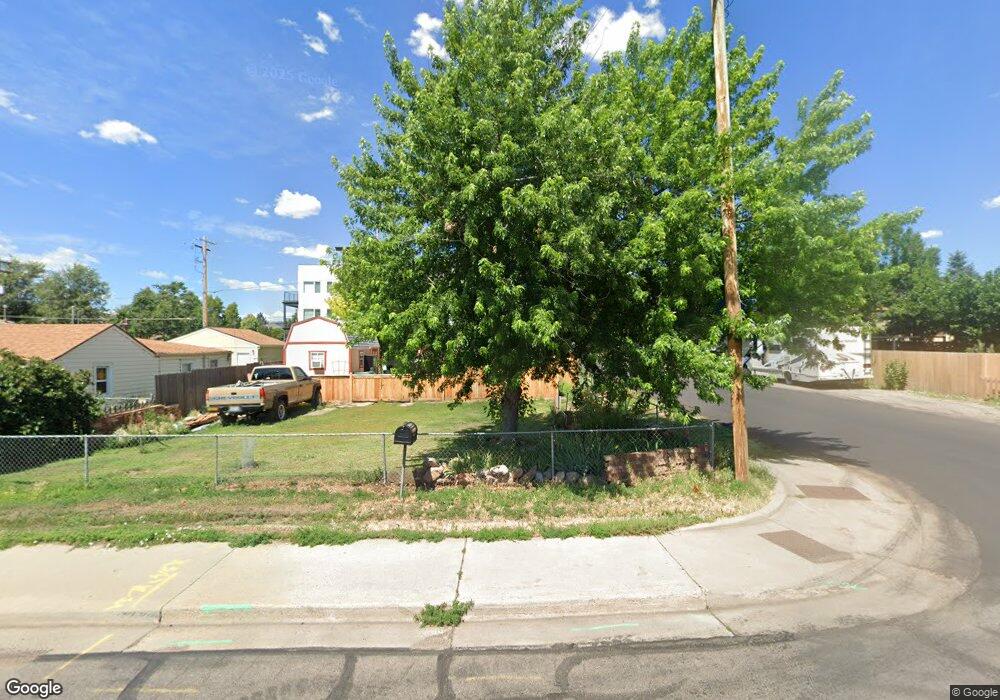
1595 Robb St Lakewood, CO 80215
Applewood Valley NeighborhoodEstimated Value: $290,291 - $429,000
1
Bed
1
Bath
576
Sq Ft
$632/Sq Ft
Est. Value
About This Home
This home is located at 1595 Robb St, Lakewood, CO 80215 and is currently estimated at $364,073, approximately $632 per square foot. 1595 Robb St is a home located in Jefferson County with nearby schools including Stober Elementary School, Everitt Middle School, and Wheat Ridge High School.
Ownership History
Date
Name
Owned For
Owner Type
Purchase Details
Closed on
Apr 12, 2017
Sold by
Covalt Blaine D
Bought by
Smith Jamison N and Smith Gloria R
Current Estimated Value
Home Financials for this Owner
Home Financials are based on the most recent Mortgage that was taken out on this home.
Original Mortgage
$102,400
Outstanding Balance
$69,169
Interest Rate
4.1%
Mortgage Type
New Conventional
Estimated Equity
$294,904
Purchase Details
Closed on
Nov 13, 2007
Sold by
Starbuck Mary E
Bought by
Covalt Blaine D
Home Financials for this Owner
Home Financials are based on the most recent Mortgage that was taken out on this home.
Original Mortgage
$32,321
Interest Rate
6.38%
Mortgage Type
Purchase Money Mortgage
Create a Home Valuation Report for This Property
The Home Valuation Report is an in-depth analysis detailing your home's value as well as a comparison with similar homes in the area
Home Values in the Area
Average Home Value in this Area
Purchase History
| Date | Buyer | Sale Price | Title Company |
|---|---|---|---|
| Smith Jamison N | $128,000 | Heritage Title Company | |
| Covalt Blaine D | $93,500 | Fahtco |
Source: Public Records
Mortgage History
| Date | Status | Borrower | Loan Amount |
|---|---|---|---|
| Open | Smith Jamison N | $102,400 | |
| Previous Owner | Covalt Blaine D | $32,321 |
Source: Public Records
Tax History Compared to Growth
Tax History
| Year | Tax Paid | Tax Assessment Tax Assessment Total Assessment is a certain percentage of the fair market value that is determined by local assessors to be the total taxable value of land and additions on the property. | Land | Improvement |
|---|---|---|---|---|
| 2024 | $1,573 | $17,442 | $12,168 | $5,274 |
| 2023 | $1,573 | $17,442 | $12,168 | $5,274 |
| 2022 | $1,588 | $17,211 | $10,629 | $6,582 |
| 2021 | $1,611 | $17,707 | $10,935 | $6,772 |
| 2020 | $1,408 | $15,552 | $9,330 | $6,222 |
| 2019 | $1,390 | $15,552 | $9,330 | $6,222 |
| 2018 | $1,228 | $13,284 | $6,891 | $6,393 |
| 2017 | $1,079 | $13,284 | $6,891 | $6,393 |
| 2016 | $882 | $10,130 | $4,208 | $5,922 |
| 2015 | $747 | $10,130 | $4,208 | $5,922 |
| 2014 | $747 | $7,857 | $4,490 | $3,367 |
Source: Public Records
Map
Nearby Homes
- 1540 Simms St
- 1723 Robb St Unit 45
- 1723 Robb St Unit 26
- 1555 Swadley St
- 11422 W 17th Place
- 1802 Simms St
- 1678 Tabor St
- 11423 W 17th Place Unit I11423
- 1830 Simms St
- 1832 Simms St Unit 1832A
- 1825 Simms St
- 11217 W 18th Ave Unit A
- 11813 W 17th Ave
- 11715 W 18th Ave
- 11940 W Independence Ave
- 11133 W 17th Ave Unit 105
- 2055 Quail Dr
- 12075 W 18th Dr
- 2121 Quail Dr
- 2110 Tabor Dr
- 1565 Robb St
- 1601 Robb St
- 1588 Routt St
- 1588 Routt St Unit 101
- 1588 Routt St Unit 104
- 1588 Routt St Unit 210
- 1588 Routt St Unit 201
- 1588 Routt St Unit 109
- 1570 Routt St
- 1609 N Robb St
- 1605 Robb St
- 1560 Routt St
- 1609 Robb St Unit 2
- 1613 Robb St Unit 3
- 1613 N Robb St
- 1621 N Robb St
- 1617 Robb St Unit 4
- 1550 Routt St
- 1640 Routt St
- 1621 Robb St Unit 5