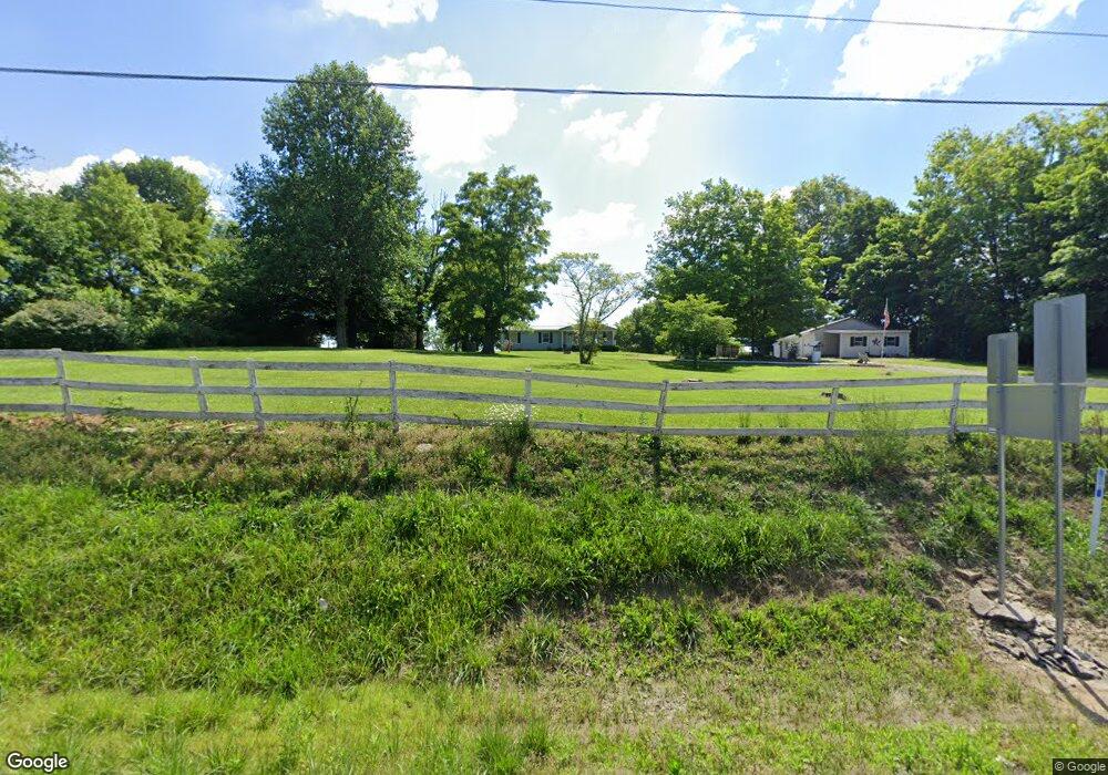
15953 Us Highway 68 S Midland, OH 45148
Estimated Value: $152,913 - $213,000
3
Beds
2
Baths
1,152
Sq Ft
$155/Sq Ft
Est. Value
About This Home
This home is located at 15953 Us Highway 68 S, Midland, OH 45148 and is currently estimated at $178,978, approximately $155 per square foot. 15953 Us Highway 68 S is a home located in Clinton County with nearby schools including Cross Roads Elementary School, Putman Elementary School, and Blanchester Middle School.
Ownership History
Date
Name
Owned For
Owner Type
Purchase Details
Closed on
Jan 7, 1997
Bought by
Walker Donald W and Walker Linda L
Current Estimated Value
Create a Home Valuation Report for This Property
The Home Valuation Report is an in-depth analysis detailing your home's value as well as a comparison with similar homes in the area
Home Values in the Area
Average Home Value in this Area
Purchase History
| Date | Buyer | Sale Price | Title Company |
|---|---|---|---|
| Walker Donald W | $79,900 | -- |
Source: Public Records
Tax History Compared to Growth
Tax History
| Year | Tax Paid | Tax Assessment Tax Assessment Total Assessment is a certain percentage of the fair market value that is determined by local assessors to be the total taxable value of land and additions on the property. | Land | Improvement |
|---|---|---|---|---|
| 2024 | $884 | $38,050 | $7,490 | $30,560 |
| 2023 | $884 | $38,050 | $7,490 | $30,560 |
| 2022 | $722 | $30,150 | $4,730 | $25,420 |
| 2021 | $765 | $30,150 | $4,730 | $25,420 |
| 2020 | $762 | $30,150 | $4,730 | $25,420 |
| 2019 | $601 | $24,750 | $4,730 | $20,020 |
| 2018 | $604 | $24,750 | $4,730 | $20,020 |
| 2017 | $589 | $24,750 | $4,730 | $20,020 |
| 2016 | $514 | $22,740 | $4,710 | $18,030 |
| 2015 | $539 | $22,740 | $4,710 | $18,030 |
| 2013 | $540 | $22,740 | $4,710 | $18,030 |
Source: Public Records
Map
Nearby Homes
- 14456 U S 68
- 4824 Anderson State Rd
- 21411 Fayetteville Rd
- 1192 Frazier Rd
- 1295 Hales Branch Rd
- 1525 Shawnee Trace Rd
- C Cherry St
- 147 Broadway St S
- 105 S High St
- B Cherry St
- 187 Mitchell Ave
- 2710 Glady Rd
- 1206 St Rt 28
- 1 Dudley Rd
- 5000 Sean Cir
- 5010 Sean Cir
- 5003 Sean Cir
- 5001 Sean Cir
- 5002 Sean Cir
- 6027 Sean Cir
- 22208 Us Highway 68 S
- 22184 Us Highway 68 S
- 15703 Us Highway 68 S
- 22114 Us Highway 68 S
- 15595 Us Highway 68 S
- 241 Hunt Rd
- 282 Hunt Rd
- 22052 Us Highway 68
- 0 Ohio 251
- 19675 Us Route 68
- 531 State Route 251
- 22000 Us Rt 68
- 22000 Us Highway 68
- 723 Ohio 251
- 10655 St Rt 68
- 22187 State Route 251
- 8331 Us Route 68 Unit 1
- 6057 Us Route 68
- 21986 State Route 251
- 609 Hunt Rd