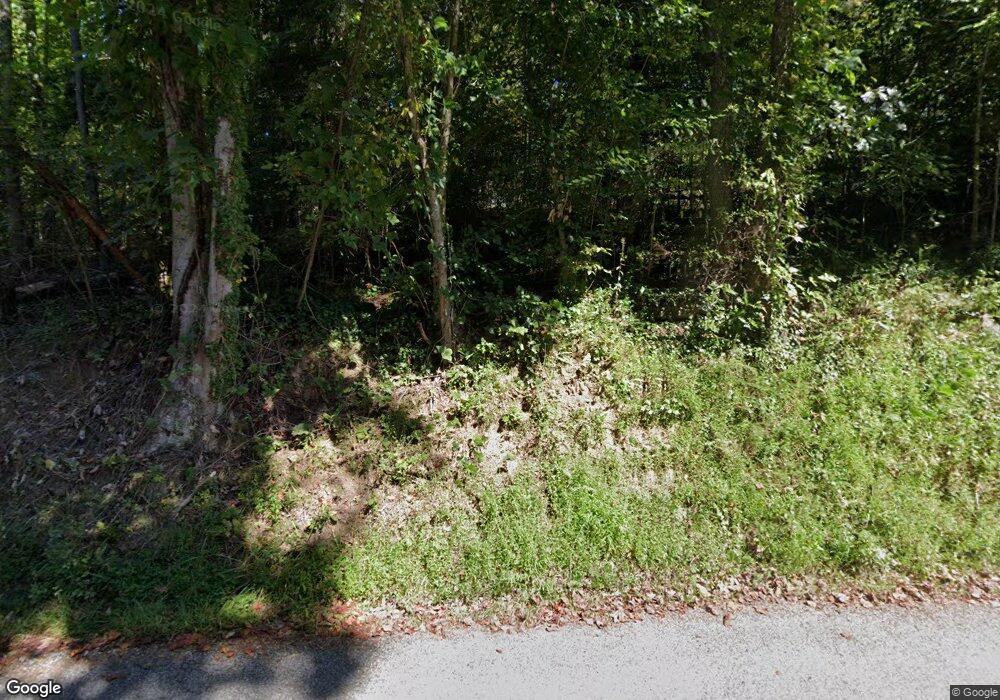
1596 Dry Branch Rd Blue Ridge, GA 30513
Estimated Value: $725,000 - $942,000
--
Bed
2
Baths
1,680
Sq Ft
$514/Sq Ft
Est. Value
About This Home
This home is located at 1596 Dry Branch Rd, Blue Ridge, GA 30513 and is currently estimated at $864,000, approximately $514 per square foot. 1596 Dry Branch Rd is a home with nearby schools including Fannin County High School.
Ownership History
Date
Name
Owned For
Owner Type
Purchase Details
Closed on
Jun 10, 2003
Sold by
Fauver Phillip H
Bought by
Steelman Carolee Jean
Current Estimated Value
Create a Home Valuation Report for This Property
The Home Valuation Report is an in-depth analysis detailing your home's value as well as a comparison with similar homes in the area
Home Values in the Area
Average Home Value in this Area
Purchase History
| Date | Buyer | Sale Price | Title Company |
|---|---|---|---|
| Steelman Carolee Jean | $200,000 | -- |
Source: Public Records
Tax History Compared to Growth
Tax History
| Year | Tax Paid | Tax Assessment Tax Assessment Total Assessment is a certain percentage of the fair market value that is determined by local assessors to be the total taxable value of land and additions on the property. | Land | Improvement |
|---|---|---|---|---|
| 2024 | $2,903 | $316,732 | $15,190 | $301,542 |
| 2023 | $2,549 | $249,969 | $15,190 | $234,779 |
| 2022 | $2,576 | $252,727 | $15,190 | $237,537 |
| 2021 | $318 | $22,683 | $15,190 | $7,493 |
| 2020 | $323 | $22,683 | $15,190 | $7,493 |
| 2019 | $330 | $22,683 | $15,190 | $7,493 |
| 2018 | $231 | $15,007 | $7,514 | $7,493 |
| 2017 | $271 | $15,315 | $7,514 | $7,801 |
| 2016 | $250 | $14,735 | $7,514 | $7,221 |
| 2015 | $266 | $15,008 | $7,514 | $7,495 |
| 2014 | $260 | $15,584 | $7,814 | $7,770 |
| 2013 | -- | $15,583 | $7,814 | $7,769 |
Source: Public Records
Map
Nearby Homes
- 60 Lake Ridge Dr
- 113 Deer Hunter Trail
- 329 Carlie Trail
- LOT 15 Tanglewood Cove Unit 15
- LOT 15 Tanglewood Cove
- 5 Tanglewood Cove
- 407 Tanglewood Dr
- 230 Tanglewood Dr
- 230 Tanglewood Dr Unit 5B6B14B3B
- 2 Aska Rd
- 92 Wilderness Trail
- 16 Hollow Springs Rd
- 158 Whispering Pines Rd
- 6 Old Aska Curve
- 45 Wilderness Trail
- 5 Tanglewood Trail
- 266 Bluebird Ln
- 474 Stewart Camp Point
- 133 Yellowbird Trail Unit 34
- 133 Yellowbird Trail
- 1524 Dry Branch Rd
- .33ac Woodstock Dr
- 33ac Woodstock Dr
- 1604 Dry Branch Rd
- 181 Woodstock Dr
- 140 Woodstock Dr
- 1520 Dry Branch Rd
- 197 Woodstock Dr
- 1436 Dry Branch Rd
- 101 Lake Ridge Dr
- 110 Woodstock Dr
- 0 Woodstock Dr Unit 280106
- 0 Woodstock Dr Unit 301568
- 0 Woodstock Dr Unit 301169
- 0 Woodstock Dr Unit R, Q-1 8869039
- 0 Woodstock Dr Unit 296745
- 0 Woodstock Dr Unit R, Q-1 8774776
- 0 Woodstock Dr Unit R, Q-1
- 105 Lake Ridge Dr
- 105 Lake Ridge Dr
