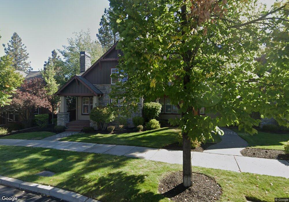
1596 NW William Clark St Bend, OR 97701
Summit West NeighborhoodEstimated Value: $832,000 - $900,000
3
Beds
3
Baths
1,921
Sq Ft
$453/Sq Ft
Est. Value
About This Home
This home is located at 1596 NW William Clark St, Bend, OR 97701 and is currently estimated at $869,604, approximately $452 per square foot. 1596 NW William Clark St is a home located in Deschutes County with nearby schools including High Lakes Elementary School, Pacific Crest Middle School, and Summit High School.
Ownership History
Date
Name
Owned For
Owner Type
Purchase Details
Closed on
Aug 17, 2022
Sold by
Bradway Richard R
Bought by
Bradway Trust
Current Estimated Value
Purchase Details
Closed on
Dec 23, 2005
Sold by
Vernon C Palmer Inc
Bought by
Bradway Richard R and Bradway Linda R
Home Financials for this Owner
Home Financials are based on the most recent Mortgage that was taken out on this home.
Original Mortgage
$183,564
Interest Rate
6.25%
Mortgage Type
Fannie Mae Freddie Mac
Purchase Details
Closed on
May 24, 2005
Sold by
Lewis & Clark Phase V Llc
Bought by
Vernon C Palmer Inc
Home Financials for this Owner
Home Financials are based on the most recent Mortgage that was taken out on this home.
Original Mortgage
$576,745
Interest Rate
5.84%
Mortgage Type
Construction
Create a Home Valuation Report for This Property
The Home Valuation Report is an in-depth analysis detailing your home's value as well as a comparison with similar homes in the area
Home Values in the Area
Average Home Value in this Area
Purchase History
| Date | Buyer | Sale Price | Title Company |
|---|---|---|---|
| Bradway Trust | -- | None Listed On Document | |
| Bradway Richard R | -- | Amerititle | |
| Vernon C Palmer Inc | $167,130 | Amerititle |
Source: Public Records
Mortgage History
| Date | Status | Borrower | Loan Amount |
|---|---|---|---|
| Previous Owner | Bradway Richard R | $183,564 | |
| Previous Owner | Vernon C Palmer Inc | $576,745 | |
| Closed | Vernon C Palmer Inc | $24,030 |
Source: Public Records
Tax History Compared to Growth
Tax History
| Year | Tax Paid | Tax Assessment Tax Assessment Total Assessment is a certain percentage of the fair market value that is determined by local assessors to be the total taxable value of land and additions on the property. | Land | Improvement |
|---|---|---|---|---|
| 2025 | $4,823 | $285,430 | -- | -- |
| 2024 | $4,640 | $277,120 | -- | -- |
| 2023 | $4,301 | $269,050 | $0 | $0 |
| 2022 | $4,013 | $253,620 | $0 | $0 |
| 2021 | $4,019 | $246,240 | $0 | $0 |
| 2020 | $3,813 | $246,240 | $0 | $0 |
| 2019 | $3,707 | $239,070 | $0 | $0 |
| 2018 | $3,602 | $232,110 | $0 | $0 |
| 2017 | $3,563 | $225,350 | $0 | $0 |
| 2016 | $3,401 | $218,790 | $0 | $0 |
| 2015 | $3,308 | $212,420 | $0 | $0 |
| 2014 | $3,213 | $206,240 | $0 | $0 |
Source: Public Records
Map
Nearby Homes
- 1676 NW William Clark St
- 1650 NW Lewis St Unit 4
- 2580 NW Shields Dr
- 2612 NW Lemhi Pass Dr
- 2589 NW Lemhi Pass Dr
- 1399 NW Fort Clatsop St Unit 1&2
- 2429 NW Dorion Way
- 2234 NW Reserve Camp Ct
- 2511 NW Crossing Dr
- 62947 Levins Ln
- 2927 NW Celilo Ln
- 3126 NW Crossing Dr
- 2101 NW Cascade View Dr
- 1251 NW Stanhope Way Unit 250
- 2745 NW Ordway Ave Unit 209
- 2745 NW Ordway Ave Unit 207
- 2745 NW Ordway Ave Unit 300
- 2745 NW Ordway Ave Unit 212
- 2745 NW Ordway Ave Unit 104
- 1949 NW Monterey Pines Dr Unit 4
- 1580 NW William Clark St
- 1612 NW William Clark St
- 1564 NW William Clark St
- 1628 NW William Clark St
- 1548 NW William Clark St
- 2479 NW Shields Dr
- 2487 NW Shields Dr
- 2471 NW Shields Dr
- 1605 NW William Clark St
- 1605 NW William Clark St Unit 14
- 1532 NW William Clark St
- 2560 NW Pompy Place Unit 16
- 2560 NW Pompy Place
- 1583 NW William Clark St
- 1660 NW William Clark St
- 2495 NW Shields Dr
- 1627 NW William Clark St Unit 13
- 1627 NW William Clark St
- 2463 NW Shields Dr