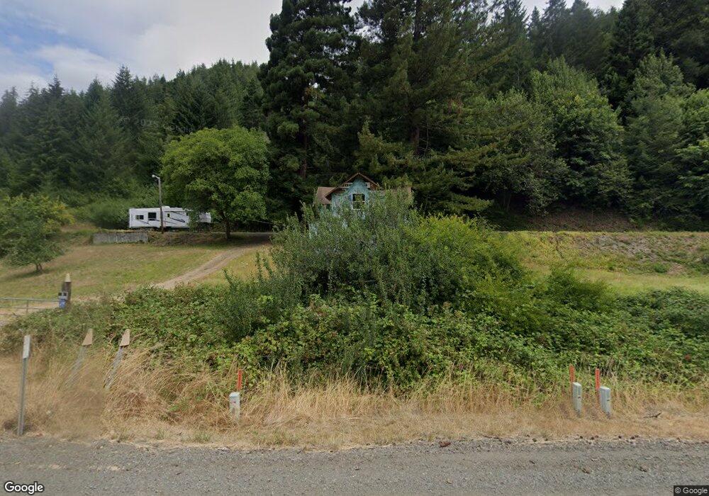
15961 Highway 42 Myrtle Point, OR 97458
Estimated Value: $192,000 - $231,635
3
Beds
1
Bath
1,336
Sq Ft
$159/Sq Ft
Est. Value
About This Home
This home is located at 15961 Highway 42, Myrtle Point, OR 97458 and is currently estimated at $211,818, approximately $158 per square foot. 15961 Highway 42 is a home located in Coos County with nearby schools including Myrtle Crest School and Myrtle Point High School.
Ownership History
Date
Name
Owned For
Owner Type
Purchase Details
Closed on
Aug 10, 2021
Sold by
Wood Cynthia and Boyd Jimmy
Bought by
Courshon James R and Courshon Hosannah K
Current Estimated Value
Purchase Details
Closed on
Jun 3, 2019
Sold by
Breeden Daniel
Bought by
Wood Cynthia and Boyd Jimmy
Purchase Details
Closed on
Nov 23, 2009
Sold by
Mcneely Jody L
Bought by
Breeden Daniel
Purchase Details
Closed on
Aug 27, 2009
Sold by
Mcneely Jody L
Bought by
Mcneely Jody L
Purchase Details
Closed on
Aug 18, 2009
Sold by
Mcneely Jody L
Bought by
Mcneely Jody L
Create a Home Valuation Report for This Property
The Home Valuation Report is an in-depth analysis detailing your home's value as well as a comparison with similar homes in the area
Home Values in the Area
Average Home Value in this Area
Purchase History
| Date | Buyer | Sale Price | Title Company |
|---|---|---|---|
| Courshon James R | $180,000 | Ticor Title Coquille | |
| Wood Cynthia | $135,000 | Ticor Title Company Of Or | |
| Breeden Daniel | $95,000 | First American Title | |
| Mcneely Jody L | -- | None Available | |
| Mcneely Jody L | -- | None Available |
Source: Public Records
Tax History Compared to Growth
Tax History
| Year | Tax Paid | Tax Assessment Tax Assessment Total Assessment is a certain percentage of the fair market value that is determined by local assessors to be the total taxable value of land and additions on the property. | Land | Improvement |
|---|---|---|---|---|
| 2025 | $717 | $68,146 | -- | -- |
| 2024 | $705 | $66,165 | -- | -- |
| 2023 | $665 | $64,239 | $0 | $0 |
| 2022 | $655 | $62,377 | $0 | $0 |
| 2021 | $641 | $60,569 | $0 | $0 |
| 2020 | $626 | $60,569 | $0 | $0 |
| 2019 | $596 | $57,096 | $0 | $0 |
| 2018 | $582 | $55,441 | $0 | $0 |
| 2017 | $569 | $53,827 | $0 | $0 |
| 2016 | $555 | $52,269 | $0 | $0 |
| 2015 | $142 | $50,753 | $0 | $0 |
| 2014 | $142 | $49,282 | $0 | $0 |
Source: Public Records
Map
Nearby Homes
- 15779 Oregon 42
- 1985 Roseburg Rd
- 1753 20th St
- 1715 20th St
- 1893 Sunset Ln
- 1861 View St
- 2047 Roseburg Rd
- 1783 View St
- 1938 Maryland Ave
- 53621 Weekly Creek Rd
- 1434 Maryland Ave
- 1873 E Cedar St
- 51014 Dement Creek Rd
- 1829 E Willow St
- 1404 Harris St
- 1314 Bothwick St
- 92433 Ward Creek Ln
- 1713 Maple St
- 1627 Maple St
- 805 C St