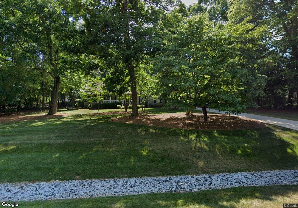
1597 Badin Ln Asheboro, NC 27205
Estimated Value: $539,632 - $637,000
--
Bed
1
Bath
2,442
Sq Ft
$235/Sq Ft
Est. Value
About This Home
This home is located at 1597 Badin Ln, Asheboro, NC 27205 and is currently estimated at $573,908, approximately $235 per square foot. 1597 Badin Ln is a home with nearby schools including Guy B. Teachey Elementary School, South Asheboro Middle School, and Asheboro High School.
Ownership History
Date
Name
Owned For
Owner Type
Purchase Details
Closed on
Jun 14, 2023
Sold by
Aalt Properties Llc
Bought by
Blankenship Patrick S and Blankenship Denise A
Current Estimated Value
Home Financials for this Owner
Home Financials are based on the most recent Mortgage that was taken out on this home.
Original Mortgage
$472,691
Outstanding Balance
$459,547
Interest Rate
6.39%
Mortgage Type
FHA
Estimated Equity
$114,361
Purchase Details
Closed on
Jan 4, 2023
Sold by
Blankenship Patrick and Blankenship Denise
Bought by
Aalt Properties Llc
Create a Home Valuation Report for This Property
The Home Valuation Report is an in-depth analysis detailing your home's value as well as a comparison with similar homes in the area
Home Values in the Area
Average Home Value in this Area
Purchase History
| Date | Buyer | Sale Price | Title Company |
|---|---|---|---|
| Blankenship Patrick S | $492,000 | None Listed On Document | |
| Blankenship Patrick S | $492,000 | None Listed On Document | |
| Pounds Michael W | $33,000 | None Listed On Document | |
| Pounds Michael W | $33,000 | None Listed On Document | |
| Aalt Properties Llc | -- | None Listed On Document |
Source: Public Records
Mortgage History
| Date | Status | Borrower | Loan Amount |
|---|---|---|---|
| Open | Blankenship Patrick S | $472,691 | |
| Closed | Blankenship Patrick S | $472,691 |
Source: Public Records
Tax History Compared to Growth
Tax History
| Year | Tax Paid | Tax Assessment Tax Assessment Total Assessment is a certain percentage of the fair market value that is determined by local assessors to be the total taxable value of land and additions on the property. | Land | Improvement |
|---|---|---|---|---|
| 2025 | $3,010 | $456,060 | $55,500 | $400,560 |
| 2024 | $2,964 | $456,060 | $55,500 | $400,560 |
| 2023 | $1,629 | $250,620 | $55,500 | $195,120 |
| 2022 | $232 | $29,680 | $29,680 | $0 |
Source: Public Records
Map
Nearby Homes
- 481 McLarkling Ln
- 2006 Lambert Dr
- 1922 Oak Dr
- 811 Sherwood Ave
- 386 Sherwood Oaks Dr
- 406 Ashmont Ct
- 841 Hollings Rd
- 724 Sherwood Rd
- 01 Mack Rd
- 261 Charles Ave
- 353 Auman Ave
- 7808 State Highway 49
- 287 Eldorado Rd
- 228 Anchor Dr
- 240 CrooMcRest Rd
- 248 CrooMcRest Rd
- 481 Nc Highway 49 S
- 0 Bray Blvd
- 897 Bray Blvd
- 1201 Lindale Dr
- 1141 E Mine St
- 2315 Lambert Dr
- 2301 Lambert Dr
- 2287 Lambert Dr
- 2323 Lambert Dr
- 2333 Lambert Dr
- 2349 Lambert Dr
- 1109 E Mine St
- 1221 E Mine St
- 2269 Lambert Dr
- 2103 Harvell St
- 1227 E Mine St
- 2361 Lambert Dr
- 2320 Lambert Dr
- 2017 Harvell St
- 1216 E Mine St
- 2286 Lambert Dr
- 1218 E Mine St
- 2340 Lambert Dr
- 1241 E Mine St