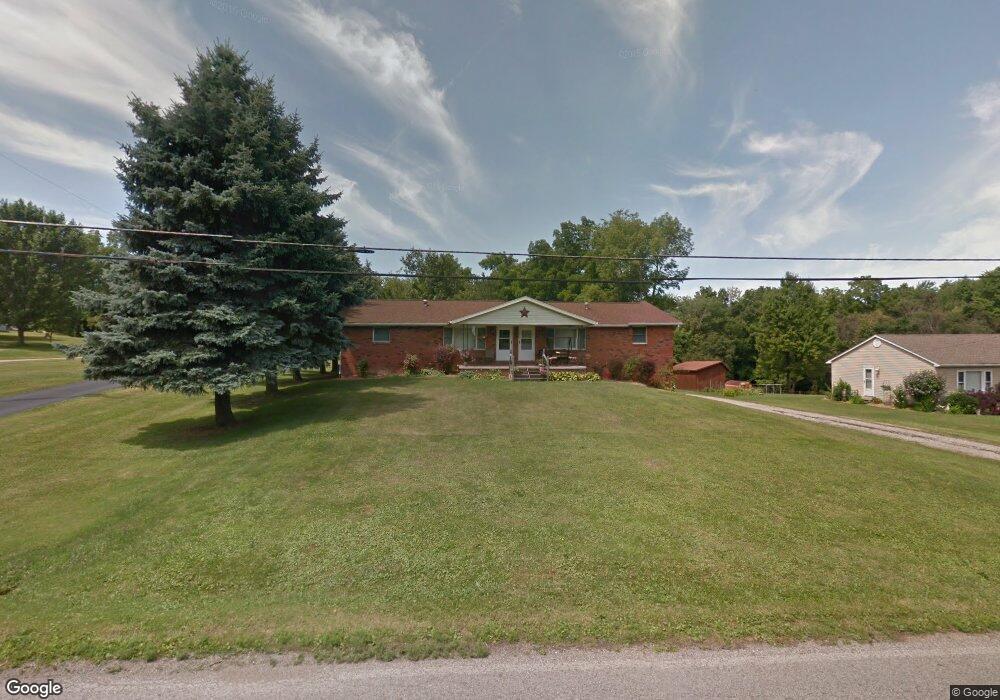
1597 Beal Rd Unit 1599 Mansfield, OH 44903
Estimated Value: $219,000 - $293,000
4
Beds
2
Baths
1,920
Sq Ft
$126/Sq Ft
Est. Value
About This Home
This home is located at 1597 Beal Rd Unit 1599, Mansfield, OH 44903 and is currently estimated at $242,269, approximately $126 per square foot. 1597 Beal Rd Unit 1599 is a home located in Richland County with nearby schools including Madison High School, Temple-Christian School, and St. Mary Catholic School.
Ownership History
Date
Name
Owned For
Owner Type
Purchase Details
Closed on
Sep 15, 2005
Sold by
Kelley Marcia J
Bought by
Burge Dewie W and Burge Debra L
Current Estimated Value
Home Financials for this Owner
Home Financials are based on the most recent Mortgage that was taken out on this home.
Original Mortgage
$94,000
Outstanding Balance
$50,543
Interest Rate
5.93%
Mortgage Type
Fannie Mae Freddie Mac
Estimated Equity
$191,726
Purchase Details
Closed on
Jun 1, 1993
Sold by
Kelley Thelma I
Bought by
Kelley Thelma I
Purchase Details
Closed on
Apr 8, 1993
Sold by
Kelley James H
Bought by
Kelley Thelma I
Create a Home Valuation Report for This Property
The Home Valuation Report is an in-depth analysis detailing your home's value as well as a comparison with similar homes in the area
Home Values in the Area
Average Home Value in this Area
Purchase History
| Date | Buyer | Sale Price | Title Company |
|---|---|---|---|
| Burge Dewie W | $118,000 | -- | |
| Kelley Thelma I | -- | -- | |
| Kelley Thelma I | -- | -- |
Source: Public Records
Mortgage History
| Date | Status | Borrower | Loan Amount |
|---|---|---|---|
| Open | Burge Dewie W | $94,000 |
Source: Public Records
Tax History Compared to Growth
Tax History
| Year | Tax Paid | Tax Assessment Tax Assessment Total Assessment is a certain percentage of the fair market value that is determined by local assessors to be the total taxable value of land and additions on the property. | Land | Improvement |
|---|---|---|---|---|
| 2024 | $2,926 | $59,050 | $8,880 | $50,170 |
| 2023 | $2,926 | $59,050 | $8,880 | $50,170 |
| 2022 | $2,636 | $47,120 | $10,530 | $36,590 |
| 2021 | $2,636 | $47,120 | $10,530 | $36,590 |
| 2020 | $2,656 | $47,120 | $10,530 | $36,590 |
| 2019 | $2,532 | $39,940 | $8,930 | $31,010 |
| 2018 | $2,372 | $39,940 | $8,930 | $31,010 |
| 2017 | $2,295 | $39,940 | $8,930 | $31,010 |
| 2016 | $2,266 | $37,660 | $8,480 | $29,180 |
| 2015 | $2,163 | $37,660 | $8,480 | $29,180 |
| 2014 | $2,155 | $37,660 | $8,480 | $29,180 |
| 2012 | $1,018 | $37,670 | $8,930 | $28,740 |
Source: Public Records
Map
Nearby Homes
- 1585 Beal Rd
- 1292 Wolford Rd
- 1791 Beal Rd
- 0 Hoover Rd
- 920 Piper Rd
- 1245 N Stewart Rd
- 1151 Beal Rd
- 1158 Delwood Rd
- 1150 Delwood Dr
- 1106 Keller Dr Unit 1108
- 1806 Richard Dr
- 903 Mayflower Ave
- 1951 Woodmont Rd
- 1140 5th Ave
- 1997 Hout Rd
- 0 Wesley
- 1910 Crider Rd
- 735 Pennsylvania Ave
- 1199 Evergreen Ave W
- 1183 Evergreen Ave W