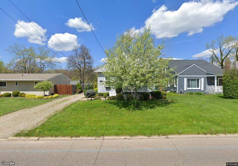
1597 Fairfax Rd Akron, OH 44313
Northwest Akron NeighborhoodEstimated Value: $165,000 - $183,000
2
Beds
1
Bath
1,172
Sq Ft
$147/Sq Ft
Est. Value
About This Home
This home is located at 1597 Fairfax Rd, Akron, OH 44313 and is currently estimated at $172,424, approximately $147 per square foot. 1597 Fairfax Rd is a home located in Summit County with nearby schools including Case Community Learning Center, Summit Academy School, and Our Lady Of The Elms Elementary School.
Ownership History
Date
Name
Owned For
Owner Type
Purchase Details
Closed on
Sep 17, 2004
Sold by
Barnhart Kathy M and Bheam Kathy M
Bought by
Barnhart Kathy M and Barnhart John
Current Estimated Value
Purchase Details
Closed on
Nov 19, 1997
Sold by
Schar Mary S
Bought by
Bheam Kathy M
Home Financials for this Owner
Home Financials are based on the most recent Mortgage that was taken out on this home.
Original Mortgage
$77,147
Interest Rate
7.38%
Mortgage Type
FHA
Create a Home Valuation Report for This Property
The Home Valuation Report is an in-depth analysis detailing your home's value as well as a comparison with similar homes in the area
Home Values in the Area
Average Home Value in this Area
Purchase History
| Date | Buyer | Sale Price | Title Company |
|---|---|---|---|
| Barnhart Kathy M | -- | -- | |
| Bheam Kathy M | $77,200 | -- |
Source: Public Records
Mortgage History
| Date | Status | Borrower | Loan Amount |
|---|---|---|---|
| Previous Owner | Bheam Kathy M | $77,147 |
Source: Public Records
Tax History Compared to Growth
Tax History
| Year | Tax Paid | Tax Assessment Tax Assessment Total Assessment is a certain percentage of the fair market value that is determined by local assessors to be the total taxable value of land and additions on the property. | Land | Improvement |
|---|---|---|---|---|
| 2025 | $2,419 | $45,644 | $11,001 | $34,643 |
| 2024 | $2,419 | $45,644 | $11,001 | $34,643 |
| 2023 | $2,419 | $45,644 | $11,001 | $34,643 |
| 2021 | $2,178 | $35,725 | $8,089 | $27,636 |
| 2020 | $2,375 | $35,730 | $8,090 | $27,640 |
| 2019 | $2,098 | $28,530 | $7,110 | $21,420 |
| 2018 | $2,070 | $28,530 | $7,110 | $21,420 |
| 2017 | $1,944 | $28,530 | $7,110 | $21,420 |
| 2016 | $1,945 | $26,270 | $7,110 | $19,160 |
| 2015 | $1,944 | $26,270 | $7,110 | $19,160 |
| 2014 | $1,928 | $26,270 | $7,110 | $19,160 |
| 2013 | $1,919 | $26,710 | $7,110 | $19,600 |
Source: Public Records
Map
Nearby Homes
- 2040 Thurmont Rd
- 1623 Liberty Dr Unit 1625
- 1633-1635 Liberty Dr
- 242 N Hawkins Ave
- 1688 Tanglewood Dr Unit 1690
- 297 Harcourt Dr
- 1725 Liberty Dr Unit 1727
- 590 N Hawkins Ave
- 607 Treeside Dr
- 635 N Hawkins Ave
- 746 Newcastle Dr
- 637 Treeside Dr
- 1785 Fairlawn Knolls Dr
- 101 N Hawkins Ave
- 100 N Hawkins Ave
- 254 Castle Blvd
- 1804-1808 Cromwell Dr
- 690 Garnette Rd
- 284 Kenilworth Dr
- 423 Foursome Ave
- 1591 Fairfax Rd
- 1603 Fairfax Rd
- 1587 Fairfax Rd
- 1609 Fairfax Rd
- 1586 Kingsley Ave
- 1580 Kingsley Ave
- 1592 Kingsley Ave
- 1581 Fairfax Rd
- 1574 Kingsley Ave
- 1613 Fairfax Rd
- 1598 Kingsley Ave
- 1592 Fairfax Rd
- 1596 Fairfax Rd
- 1602 Fairfax Rd
- 1577 Fairfax Rd
- 1568 Kingsley Ave
- 1617 Fairfax Rd
- 1604 Kingsley Ave
- 1606 Fairfax Rd
- 1593 Kingsley Ave