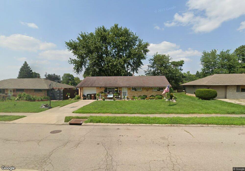
1597 W Stroop Rd Dayton, OH 45439
Estimated Value: $174,000 - $184,000
3
Beds
1
Bath
1,040
Sq Ft
$170/Sq Ft
Est. Value
About This Home
This home is located at 1597 W Stroop Rd, Dayton, OH 45439 and is currently estimated at $177,143, approximately $170 per square foot. 1597 W Stroop Rd is a home located in Montgomery County with nearby schools including Southdale Elementary School, Van Buren Middle School, and Kettering Fairmont High School.
Ownership History
Date
Name
Owned For
Owner Type
Purchase Details
Closed on
Apr 24, 2017
Sold by
Cavin Scott D and Cavin Kathrine M
Bought by
1597 W Stroop Road Llc
Current Estimated Value
Purchase Details
Closed on
Jul 6, 2015
Sold by
Hering Peter J
Bought by
Cavin Scott D and Cavin Katherine M
Home Financials for this Owner
Home Financials are based on the most recent Mortgage that was taken out on this home.
Original Mortgage
$49,600
Interest Rate
3.83%
Mortgage Type
New Conventional
Purchase Details
Closed on
Aug 18, 2006
Sold by
Chandler Dale A and Chandler Carolyn R
Bought by
Hering Peter J
Home Financials for this Owner
Home Financials are based on the most recent Mortgage that was taken out on this home.
Original Mortgage
$89,900
Interest Rate
6.88%
Mortgage Type
Purchase Money Mortgage
Purchase Details
Closed on
Mar 17, 1994
Sold by
Chandler Dale A
Bought by
Chandler Dale A and Chandler Carolyn R
Create a Home Valuation Report for This Property
The Home Valuation Report is an in-depth analysis detailing your home's value as well as a comparison with similar homes in the area
Home Values in the Area
Average Home Value in this Area
Purchase History
| Date | Buyer | Sale Price | Title Company |
|---|---|---|---|
| 1597 W Stroop Road Llc | -- | None Available | |
| Cavin Scott D | $62,000 | Partners Land Title Agency | |
| Hering Peter J | $89,900 | None Available | |
| Chandler Dale A | -- | -- |
Source: Public Records
Mortgage History
| Date | Status | Borrower | Loan Amount |
|---|---|---|---|
| Previous Owner | Cavin Scott D | $49,600 | |
| Previous Owner | Hering Peter J | $89,900 |
Source: Public Records
Tax History Compared to Growth
Tax History
| Year | Tax Paid | Tax Assessment Tax Assessment Total Assessment is a certain percentage of the fair market value that is determined by local assessors to be the total taxable value of land and additions on the property. | Land | Improvement |
|---|---|---|---|---|
| 2024 | $2,630 | $41,220 | $10,850 | $30,370 |
| 2023 | $2,630 | $41,220 | $10,850 | $30,370 |
| 2022 | $2,155 | $26,640 | $7,000 | $19,640 |
| 2021 | $1,998 | $26,640 | $7,000 | $19,640 |
| 2020 | $2,004 | $26,640 | $7,000 | $19,640 |
| 2019 | $2,150 | $25,310 | $7,000 | $18,310 |
| 2018 | $2,161 | $25,310 | $7,000 | $18,310 |
| 2017 | $1,997 | $25,310 | $7,000 | $18,310 |
| 2016 | $2,132 | $25,420 | $7,000 | $18,420 |
| 2015 | $1,989 | $25,420 | $7,000 | $18,420 |
| 2014 | $1,989 | $25,420 | $7,000 | $18,420 |
| 2012 | -- | $30,640 | $8,400 | $22,240 |
Source: Public Records
Map
Nearby Homes
- 1673 W Stroop Rd
- 2090 Mattis Dr
- 4301 Tait Rd
- 3720 Ridgeleigh Rd Unit D
- 1905 Tait Circle Rd
- 1952 Tait Circle Rd
- 3519 Waterbury Dr
- 1349 Tamerlane Rd
- 4207 S Dixie Dr
- 2050 William Ln
- 4519 Harbison St
- 4629 Richwood Dr
- 1314 Ridgeview Ave
- 4661 Richwood Dr
- 1301 Ridgeview Ave
- 4400 Royal Ridge Way
- 3225 Southdale Dr Unit 1
- 1125 Laurelwood Rd
- 4447 Royal Ridge Way
- 4792 Loxley Dr
- 1601 W Stroop Rd
- 1585 W Stroop Rd
- 1584 Hillwood Dr
- 1596 Hillwood Dr
- 1572 Hillwood Dr
- 1573 W Stroop Rd
- 1613 W Stroop Rd
- 1608 Hillwood Dr
- 1560 Hillwood Dr
- 1561 W Stroop Rd
- 1625 W Stroop Rd
- 1886 W Stroop Rd
- 1620 Hillwood Dr
- 1872 W Stroop Rd
- 1548 Hillwood Dr
- 1916 W Stroop Rd
- 1585 Hillwood Dr
- 1860 W Stroop Rd
- 1637 W Stroop Rd
- 1549 W Stroop Rd