15978 Centennial Dr Park Rapids, MN 56470
Estimated Value: $494,924 - $657,000
5
Beds
3
Baths
3,111
Sq Ft
$186/Sq Ft
Est. Value
About This Home
This home is located at 15978 Centennial Dr, Park Rapids, MN 56470 and is currently estimated at $577,481, approximately $185 per square foot. 15978 Centennial Dr is a home located in Hubbard County with nearby schools including Century Elementary School, Century School, and Park Rapids Area High School.
Ownership History
Date
Name
Owned For
Owner Type
Purchase Details
Closed on
Apr 15, 2016
Sold by
Perry Danielle
Bought by
Adams Shawn T and Adams Alyson L
Current Estimated Value
Home Financials for this Owner
Home Financials are based on the most recent Mortgage that was taken out on this home.
Original Mortgage
$253,650
Outstanding Balance
$197,993
Interest Rate
3.73%
Mortgage Type
New Conventional
Estimated Equity
$379,488
Purchase Details
Closed on
Oct 6, 2011
Sold by
Munson Eric A and Munson Jamie N
Bought by
Perry Danielle
Home Financials for this Owner
Home Financials are based on the most recent Mortgage that was taken out on this home.
Original Mortgage
$229,500
Interest Rate
4.23%
Mortgage Type
New Conventional
Create a Home Valuation Report for This Property
The Home Valuation Report is an in-depth analysis detailing your home's value as well as a comparison with similar homes in the area
Purchase History
We collect this data history from publicly available records. To have your information removed, we recommend requesting removal directly through your county’s website.
| Date | Buyer | Sale Price | Title Company |
|---|---|---|---|
| Adams Shawn T | $267,000 | None Available | |
| Perry Danielle | $255,000 | Leer Title Services |
Source: Public Records
Mortgage History
We collect this data history from publicly available records. To have your information removed, we recommend requesting removal directly through your county’s website.
| Date | Status | Borrower | Loan Amount |
|---|---|---|---|
| Open | Adams Shawn T | $253,650 | |
| Previous Owner | Perry Danielle | $229,500 |
Source: Public Records
Tax History
| Year | Tax Paid | Tax Assessment Tax Assessment Total Assessment is a certain percentage of the fair market value that is determined by local assessors to be the total taxable value of land and additions on the property. | Land | Improvement |
|---|---|---|---|---|
| 2025 | $3,010 | $492,500 | $59,600 | $432,900 |
| 2024 | $2,598 | $409,800 | $59,100 | $350,700 |
| 2023 | $3,534 | $536,600 | $50,300 | $486,300 |
| 2022 | $2,338 | $419,000 | $44,800 | $374,200 |
| 2021 | $2,198 | $282,400 | $35,500 | $246,900 |
| 2020 | $2,514 | $260,000 | $32,798 | $227,202 |
| 2019 | $2,256 | $294,600 | $34,454 | $260,146 |
| 2018 | $2,144 | $236,500 | $27,031 | $209,469 |
| 2016 | $2,142 | $249,900 | $27,134 | $222,766 |
| 2015 | $2,120 | $259,000 | $25,728 | $233,272 |
| 2014 | $2,032 | $248,200 | $26,156 | $222,044 |
Source: Public Records
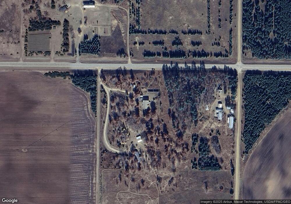
Map
Nearby Homes
- 14788 Coyote Dr
- 14783 Big Stony Dr
- TBD Deacon Drive - Parcel F
- TBD Deacon Drive - Parcel C
- TBD Deacon Drive - Parcel G
- TBD Deacon Drive - Parcel B
- 16735 Downey Dr
- 18310 150th St
- 22705 Deep Woods Ln
- 21606 Elmwood Cir
- 18040 150th St
- 21622 County 80
- 20151 Eddie Baxter Dr
- 14045 Circle Pines Dr
- 17674 Crooked Pine Dr
- 18316 Endhaven Trail
- 14292 Chippewa Loop
- 18684 County 20
- 18575 State 34
- TBD Chokecherry Dr
- 15978 Centennial Dr
- 15976 Centennial Dr
- 20614 County 17
- 15937 209th Ave
- 15675 209th Ave
- 15572 209th Ave
- 15708 Centennial Dr
- 15858 County 11
- 15858 County 11
- 15941 County 11
- 16478 County 11
- 19846 County 17
- 15404 County 11
- 21538 County 17
- 21253 170th St
- 15547 County 11
- Lot 11 209th Ave
- Lot 9 209th Ave
- 14962 Coyote Dr
- 14960 Coyote Dr
Your Personal Tour Guide
Ask me questions while you tour the home.