1598 Brookside Dr Whitney, TX 76692
Estimated Value: $391,000 - $497,000
4
Beds
3
Baths
2,235
Sq Ft
$189/Sq Ft
Est. Value
About This Home
This home is located at 1598 Brookside Dr, Whitney, TX 76692 and is currently estimated at $423,265, approximately $189 per square foot. 1598 Brookside Dr is a home located in Hill County with nearby schools including Whitney Elementary School, Whitney Intermediate School, and Whitney Middle School.
Ownership History
Date
Name
Owned For
Owner Type
Purchase Details
Closed on
Sep 17, 2021
Sold by
Yarbro Joe H and Yarbro Nancie L
Bought by
Yarbro Joe Hunter and Yarbro Nancie Louise
Current Estimated Value
Purchase Details
Closed on
Dec 21, 2012
Sold by
Fisher Sharon Elaine
Bought by
Yarbro Joe H and Yarbro Nancie L
Home Financials for this Owner
Home Financials are based on the most recent Mortgage that was taken out on this home.
Original Mortgage
$176,000
Outstanding Balance
$31,170
Interest Rate
3.34%
Mortgage Type
New Conventional
Estimated Equity
$392,095
Create a Home Valuation Report for This Property
The Home Valuation Report is an in-depth analysis detailing your home's value as well as a comparison with similar homes in the area
Home Values in the Area
Average Home Value in this Area
Purchase History
| Date | Buyer | Sale Price | Title Company |
|---|---|---|---|
| Yarbro Joe Hunter | -- | None Available | |
| Yarbro Joe H | -- | Micro Title Hll County Llc |
Source: Public Records
Mortgage History
| Date | Status | Borrower | Loan Amount |
|---|---|---|---|
| Open | Yarbro Joe H | $176,000 |
Source: Public Records
Tax History Compared to Growth
Tax History
| Year | Tax Paid | Tax Assessment Tax Assessment Total Assessment is a certain percentage of the fair market value that is determined by local assessors to be the total taxable value of land and additions on the property. | Land | Improvement |
|---|---|---|---|---|
| 2025 | $5,482 | $357,520 | $12,600 | $344,920 |
| 2024 | $5,081 | $358,030 | $12,600 | $345,430 |
| 2023 | $4,690 | $345,400 | $12,600 | $332,800 |
| 2022 | $5,122 | $292,620 | $6,070 | $286,550 |
| 2021 | $5,290 | $248,940 | $6,070 | $242,870 |
| 2020 | $5,336 | $240,400 | $6,070 | $234,330 |
| 2019 | $5,455 | $234,640 | $5,370 | $229,270 |
| 2018 | $5,357 | $230,780 | $5,430 | $225,350 |
| 2017 | $5,432 | $231,860 | $5,460 | $226,400 |
| 2016 | $5,481 | $233,920 | $5,570 | $228,350 |
| 2015 | -- | $245,830 | $6,250 | $239,580 |
| 2014 | -- | $237,390 | $7,440 | $229,950 |
Source: Public Records
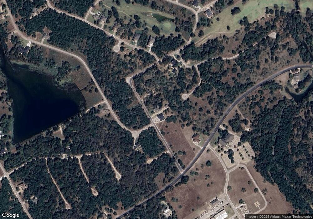
Map
Nearby Homes
- 38038 Brookside Dr
- 38049 Brookside Dr
- 38070 Brookside Dr
- 38055 Brookside Dr
- 38063 Brookside Dr
- 38128 Brookside Dr
- 38057 Brookside Dr
- 1554 Foxfire Ct
- 39279 Cedar Park Dr
- 39278 Cedar Park Dr
- 1545 White Bluff Dr
- 39181 Misty Valley Cir
- 1497 Sage Ct
- 38093 Misty Ridge Dr
- 4006 Whitecrest Dr
- 1464 Twin Oak Dr
- 1470 Twin Oak Dr
- 1504 Deerwood Ct
- 39131 Royalwood Ln
- 39208 Cross Timber Dr
- 38059 Brookside Dr
- 1596 Brookside Dr
- 1581 Whitecrest Dr
- 1584 Brookside Dr
- 1601 Brookside Dr
- 1559 Whitecrest Dr
- 38061 Brookside Dr
- 1602 Brookside Dr
- 38055 Brookside Ct W
- 38042 + 38043 Brookside Dr
- 38075 Brookside Dr
- 38043 Brookside Dr
- 38042 Brookside Dr
- 38040 Brookside Dr
- 38037 Brookside Dr
- 1582 Brookside Dr
- 1599 Brookside Dr
- 1597 Brookside Dr
- 38078 Brookside Dr
- 1603 Brookside Dr