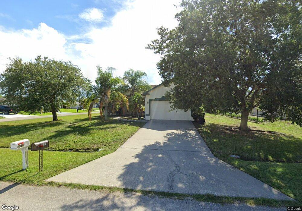
1598 SW Curtis St Port Saint Lucie, FL 34983
Bayshore Heights NeighborhoodEstimated Value: $395,163 - $470,000
4
Beds
2
Baths
1,926
Sq Ft
$218/Sq Ft
Est. Value
About This Home
This home is located at 1598 SW Curtis St, Port Saint Lucie, FL 34983 and is currently estimated at $420,291, approximately $218 per square foot. 1598 SW Curtis St is a home located in St. Lucie County with nearby schools including Floresta Elementary School, Northport K-8 School, and Parkway Elementary School.
Ownership History
Date
Name
Owned For
Owner Type
Purchase Details
Closed on
Nov 13, 2008
Sold by
Ryckman Edward A and Ryckman Kim A
Bought by
Spiller David and Spiller Line
Current Estimated Value
Purchase Details
Closed on
Feb 28, 2006
Sold by
Homecrete Homes Inc
Bought by
Ryckman Edward A and Ryckman Kim A
Home Financials for this Owner
Home Financials are based on the most recent Mortgage that was taken out on this home.
Original Mortgage
$271,700
Interest Rate
6.05%
Mortgage Type
Fannie Mae Freddie Mac
Purchase Details
Closed on
Feb 22, 2005
Sold by
Digeronimo Pauline
Bought by
Homecrete Homes Inc
Create a Home Valuation Report for This Property
The Home Valuation Report is an in-depth analysis detailing your home's value as well as a comparison with similar homes in the area
Home Values in the Area
Average Home Value in this Area
Purchase History
| Date | Buyer | Sale Price | Title Company |
|---|---|---|---|
| Spiller David | $125,500 | Chelsea Title Company | |
| Ryckman Edward A | $286,000 | Liberty Title Co America Inc | |
| Homecrete Homes Inc | $214,500 | Fidelity Natl Title Ins Co |
Source: Public Records
Mortgage History
| Date | Status | Borrower | Loan Amount |
|---|---|---|---|
| Previous Owner | Ryckman Edward A | $271,700 |
Source: Public Records
Tax History Compared to Growth
Tax History
| Year | Tax Paid | Tax Assessment Tax Assessment Total Assessment is a certain percentage of the fair market value that is determined by local assessors to be the total taxable value of land and additions on the property. | Land | Improvement |
|---|---|---|---|---|
| 2025 | $2,087 | $123,844 | -- | -- |
| 2024 | $2,016 | $120,354 | -- | -- |
| 2023 | $2,016 | $116,849 | $0 | $0 |
| 2022 | $1,891 | $113,446 | $0 | $0 |
| 2021 | $1,777 | $110,142 | $0 | $0 |
| 2020 | $1,768 | $108,622 | $0 | $0 |
| 2019 | $1,734 | $106,180 | $0 | $0 |
| 2018 | $1,624 | $104,201 | $0 | $0 |
| 2017 | $1,567 | $176,300 | $31,600 | $144,700 |
| 2016 | $1,537 | $157,100 | $24,400 | $132,700 |
| 2015 | $1,547 | $126,200 | $15,800 | $110,400 |
| 2014 | $1,475 | $98,477 | $0 | $0 |
Source: Public Records
Map
Nearby Homes
- 1541 SW Curry St
- 1562 SW Curry St
- 1565 SW Hutchins St
- 1518 SW Hutchins St
- 361 SW Fairway Ave
- 500 SE Fascino Cir
- 512 SE Fascino Cir
- 369 SE Fascino Cir
- 1614 SW Sylvester Ln
- 256 SW Grove Ave
- 1658 SW Gemini Ln
- 1413 SW Hutchins St
- 190 SW Ray Ave
- 238 SW Twig Ave
- 398 SW Ray Ave
- 143 SW Grove Ave
- 1680 SW Burlington St
- 118 SW Ray Ave
- 1681 SW Buffum Ln
- 402 SW Seaflower Terrace
- 1582 SW Curtis St
- 1599 SW Curry St
- 1581 SW Curry St
- 1562 SW Curtis St
- 272 SW Carter Ave
- 282 SW Carter Ave
- 1599 SW Curtis St
- 262 SW Carter Ave
- 1581 SW Curtis St
- 1561 SW Curry St
- 292 SW Carter Ave
- 1542 SW Curtis St
- 1561 SW Curtis St
- 252 SW Carter Ave
- 298 SW Carter Ave
- 1598 SW Hutchins St
- 1598 SW Curry St
- 1541 SW Curtis St
- 242 SW Carter Ave
- 1582 SW Hutchins St