15981 Ditmars Rd Prairie Grove, AR 72753
Estimated Value: $365,000 - $385,455
--
Bed
1
Bath
1,970
Sq Ft
$191/Sq Ft
Est. Value
About This Home
This home is located at 15981 Ditmars Rd, Prairie Grove, AR 72753 and is currently estimated at $377,152, approximately $191 per square foot. 15981 Ditmars Rd is a home located in Washington County with nearby schools including Prairie Grove Elementary School, Prairie Grove Middle School, and Prairie Grove Junior High School.
Ownership History
Date
Name
Owned For
Owner Type
Purchase Details
Closed on
May 22, 2023
Sold by
Chester And Betty Sargent Revocable Trus
Bought by
Betty L Sargent Trust and Tharp
Current Estimated Value
Purchase Details
Closed on
Jan 1, 1985
Bought by
Sargent Chester and Sargent Betty L
Purchase Details
Closed on
Sep 20, 1939
Bought by
Sargent Chester and Sargent Betty L
Create a Home Valuation Report for This Property
The Home Valuation Report is an in-depth analysis detailing your home's value as well as a comparison with similar homes in the area
Home Values in the Area
Average Home Value in this Area
Purchase History
| Date | Buyer | Sale Price | Title Company |
|---|---|---|---|
| Betty L Sargent Trust | -- | None Listed On Document | |
| Sargent Chester | -- | -- | |
| Sargent Chester | -- | -- |
Source: Public Records
Tax History Compared to Growth
Tax History
| Year | Tax Paid | Tax Assessment Tax Assessment Total Assessment is a certain percentage of the fair market value that is determined by local assessors to be the total taxable value of land and additions on the property. | Land | Improvement |
|---|---|---|---|---|
| 2025 | $1,852 | $43,450 | $12,540 | $30,910 |
| 2024 | $1,732 | $43,450 | $12,540 | $30,910 |
| 2023 | $1,637 | $43,450 | $12,540 | $30,910 |
| 2022 | $1,541 | $30,380 | $8,670 | $21,710 |
| 2021 | $1,528 | $30,380 | $8,670 | $21,710 |
| 2020 | $1,407 | $30,380 | $8,670 | $21,710 |
| 2019 | $1,277 | $24,790 | $7,640 | $17,150 |
| 2018 | $761 | $24,790 | $7,640 | $17,150 |
| 2017 | $697 | $24,790 | $7,640 | $17,150 |
| 2016 | $750 | $24,790 | $7,640 | $17,150 |
| 2015 | $745 | $24,790 | $7,640 | $17,150 |
| 2014 | $721 | $20,830 | $7,510 | $13,320 |
Source: Public Records
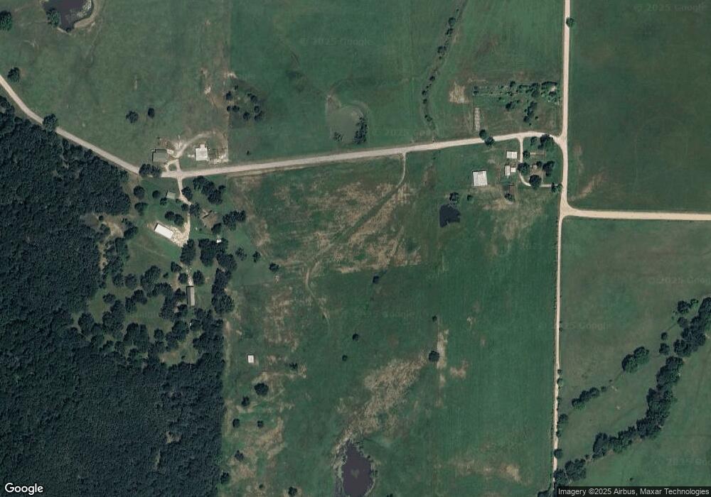
Map
Nearby Homes
- 1042 Vista Ave
- 1021 Vista Ave
- 581 Crystal Dr
- DENTON Plan at Hudson Heights
- GARLAND Plan at Hudson Heights
- EUREKA Plan at Hudson Heights
- DEAN Plan at Hudson Heights
- KINGSTON Plan at Hudson Heights
- 442 Maya St
- 422 Maya St
- 812 Cedar Ln
- 461 Maya St
- 402 Maya St
- 261 Hearthstone Cir
- 441 Maya St
- 971 Pebble Dr
- 16453 Stonewall Rd
- 1601 Affirmed Ln
- 807 Maple St
- 1498 Viney Grove Rd
- 5.17 Ac Hank Sargent Rd
- 10380 Hank Sargent Rd
- 15979 Ditmars Rd
- 150 AC Ditmars
- 15785 Ditmars Rd
- 10429 Hank Sargent Rd
- 15762 Ditmars Rd
- 15957 Ditmars Rd
- 10521 Hank Sargent Rd
- 10596 Hank Sargent Rd
- 15965 Ditmars Rd
- 10591 Hank Sargent Rd
- Tract 2C Ditmars Rd
- Tract 2B Ditmars Rd
- 16465 Ditmars Rd
- 16324 Stonewall Rd
- 10084 N Opal Stevens Rd
- 10686 Hank Sargent Rd
- 5.17 Ac Co Rd 621
- 0 Hank Sargent Rd