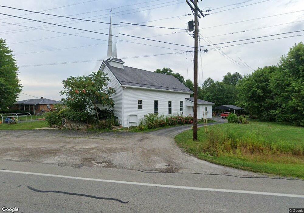
15982 Us Highway 68 Mount Orab, OH 45154
Estimated Value: $191,000 - $302,000
3
Beds
1
Bath
1,415
Sq Ft
$168/Sq Ft
Est. Value
About This Home
This home is located at 15982 Us Highway 68, Mount Orab, OH 45154 and is currently estimated at $237,632, approximately $167 per square foot. 15982 Us Highway 68 is a home with nearby schools including Western Brown High School.
Ownership History
Date
Name
Owned For
Owner Type
Purchase Details
Closed on
Dec 15, 2023
Sold by
Miller Berman and Miller Darrell
Bought by
Miller Berman and Miller Sheila
Current Estimated Value
Purchase Details
Closed on
Jun 21, 2021
Sold by
Estate Of Mary M Miller
Bought by
Miller Berman and Miller Darrell
Purchase Details
Closed on
Oct 19, 2007
Sold by
West Ohio Annual Conference Of The Unite
Bought by
Miller Mary M
Create a Home Valuation Report for This Property
The Home Valuation Report is an in-depth analysis detailing your home's value as well as a comparison with similar homes in the area
Home Values in the Area
Average Home Value in this Area
Purchase History
| Date | Buyer | Sale Price | Title Company |
|---|---|---|---|
| Miller Berman | -- | None Listed On Document | |
| Miller Berman | -- | None Available | |
| Miller Mary M | $137,000 | Attorney |
Source: Public Records
Tax History Compared to Growth
Tax History
| Year | Tax Paid | Tax Assessment Tax Assessment Total Assessment is a certain percentage of the fair market value that is determined by local assessors to be the total taxable value of land and additions on the property. | Land | Improvement |
|---|---|---|---|---|
| 2024 | $1,826 | $60,570 | $10,980 | $49,590 |
| 2023 | $1,739 | $46,400 | $7,580 | $38,820 |
| 2022 | $1,425 | $46,400 | $7,580 | $38,820 |
| 2021 | $1,404 | $46,400 | $7,580 | $38,820 |
| 2020 | $1,260 | $40,350 | $6,590 | $33,760 |
| 2019 | $1,353 | $40,350 | $6,590 | $33,760 |
| 2018 | $1,343 | $40,350 | $6,590 | $33,760 |
| 2017 | $1,188 | $35,540 | $7,250 | $28,290 |
| 2016 | $1,189 | $35,540 | $7,250 | $28,290 |
| 2015 | $1,198 | $35,540 | $7,250 | $28,290 |
| 2014 | $1,198 | $34,880 | $6,590 | $28,290 |
| 2013 | $1,194 | $34,880 | $6,590 | $28,290 |
Source: Public Records
Map
Nearby Homes
- 15721 Brooks Malott Rd
- 0 Bardwell W Unit 1854344
- 15422 U S 68
- 0 Snider-Malott Rd
- 3447 Snider-Malott Rd
- 1 Bodman Rd
- 3056 Hannah Dr
- 0 Donley Rd
- 15503 Crawford-Day Rd
- 16285 Malady Rd
- 15316 Bodman Rd
- 0 State Route 32 Unit 1795308
- 2756 Bardwell West Rd
- 5092 County Highway 8-C
- 14663 Day Rd
- 15070 Bodman Rd
- 5176 E Greenbush Rd
- 100 Robin Ave
- 3498 Upper 5 Mile West Rd
- 204 Katelin Ln
- 15977 Us Highway 68
- 15967 Us Highway 68
- 475 Hillcrest Ln
- 463 Hillcrest Ln
- 3829 Greenbush Rd W
- 16022 Us Rt 68
- 3853 Greenbush Rd W
- 3811 Greenbush West Rd
- 15913 Hile Rd
- 15912 Hile Rd
- 0 Greenbush Rd W Unit 1253134
- 0 Greenbush Rd W Unit 1281144
- 0 Greenbush Rd W Unit 1816681
- 0 Greenbush Rd W Unit 1645794
- 0 Greenbush Rd W Unit 1622548
- 3816 Greenbush Rd W
- 3777 Greenbush West Rd
- 15903 Hile Rd
- 15868 Us Rt 68
- 15931 Brooks-Malott Rd