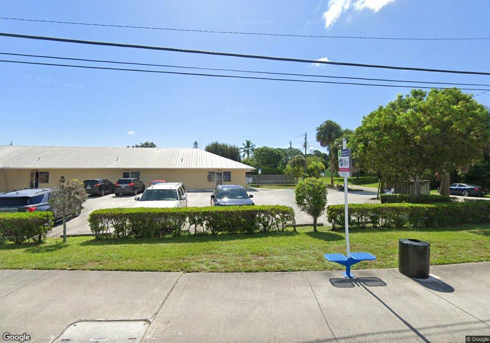
1599 SE Lennard Rd Port Saint Lucie, FL 34952
Sandhill Crossing NeighborhoodEstimated Value: $1,440,904
--
Bed
1
Bath
9,808
Sq Ft
$147/Sq Ft
Est. Value
About This Home
This home is located at 1599 SE Lennard Rd, Port Saint Lucie, FL 34952 and is currently estimated at $1,440,904, approximately $146 per square foot. 1599 SE Lennard Rd is a home located in St. Lucie County with nearby schools including Morningside Elementary School, Mariposa Elementary School, and Floresta Elementary School.
Ownership History
Date
Name
Owned For
Owner Type
Purchase Details
Closed on
Jul 8, 2010
Sold by
Papaya Realty Llc
Bought by
Amng Holdings Llc
Current Estimated Value
Purchase Details
Closed on
Apr 17, 2002
Sold by
D K W Assoc and Traynor Kevin Michael
Bought by
Papaya Realty L L C
Home Financials for this Owner
Home Financials are based on the most recent Mortgage that was taken out on this home.
Original Mortgage
$600,000
Interest Rate
7.07%
Mortgage Type
Commercial
Create a Home Valuation Report for This Property
The Home Valuation Report is an in-depth analysis detailing your home's value as well as a comparison with similar homes in the area
Home Values in the Area
Average Home Value in this Area
Purchase History
| Date | Buyer | Sale Price | Title Company |
|---|---|---|---|
| Amng Holdings Llc | $490,000 | Attorney | |
| Papaya Realty L L C | $750,000 | -- |
Source: Public Records
Mortgage History
| Date | Status | Borrower | Loan Amount |
|---|---|---|---|
| Previous Owner | Papaya Realty L L C | $600,000 |
Source: Public Records
Tax History Compared to Growth
Tax History
| Year | Tax Paid | Tax Assessment Tax Assessment Total Assessment is a certain percentage of the fair market value that is determined by local assessors to be the total taxable value of land and additions on the property. | Land | Improvement |
|---|---|---|---|---|
| 2024 | $30,455 | $1,430,600 | $284,700 | $1,145,900 |
| 2023 | $30,455 | $1,373,300 | $284,700 | $1,088,600 |
| 2022 | $26,902 | $1,068,900 | $197,100 | $871,800 |
| 2021 | $26,318 | $1,061,900 | $197,100 | $864,800 |
| 2020 | $24,287 | $909,600 | $197,100 | $712,500 |
| 2019 | $23,296 | $914,600 | $197,100 | $717,500 |
| 2018 | $21,050 | $854,600 | $197,100 | $657,500 |
| 2017 | $20,098 | $809,400 | $197,100 | $612,300 |
| 2016 | $17,931 | $670,900 | $197,100 | $473,800 |
| 2015 | $17,047 | $649,800 | $197,100 | $452,700 |
| 2014 | $15,239 | $498,850 | $0 | $0 |
Source: Public Records
Map
Nearby Homes
- 2207 SE Avalon Rd
- 1991 SE Oldsmar Rd
- 1731 SE Ridgewood St
- 2349 SE Avalon Rd
- 2559 SE Ruskin Dr
- 2558 SE Pineland Dr
- 2527 SE Ruskin Dr
- 2073 SE Rainier Rd
- 2503 SE Ruskin Dr
- 1791 Mansfield St
- 1791 SE Mansfield St
- 2495 SE Ruskin Dr
- 2373 SE Avalon Rd
- 2185 SE Grand Dr
- 2181 SE Grand Dr
- 1343 SE Vestridge Ln
- 1614 SE Durango St
- 2380 SE Union Park Dr
- 2218 SE Grand Dr
- 2364 SE Union Park Dr
- 2213 SE Avalon Rd
- 2214 SE Tiffany Ave
- 1602 SE Lorraine St
- 2219 SE Avalon Rd
- 1650 SE Lorraine St
- 2220 SE Tiffany Ave
- 1610 SE Lorraine St
- 2226 SE Tiffany Ave
- 2225 SE Avalon Rd
- 1618 SE Lorraine St
- 2232 SE Tiffany Ave
- 2231 SE Avalon Rd
- 1609 SE Lorraine St
- 1626 SE Lorraine St
- 2238 SE Tiffany Ave
- 1617 SE Lorraine St
- 1625 SE Lorraine St
- 1634 SE Lorraine St
- 1610 SE Mansfield St